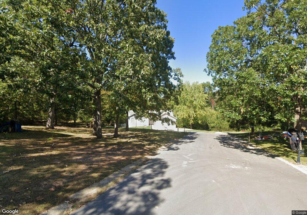
212 Oakridge Dr Waynesville, MO 65583
Estimated Value: $235,000 - $259,000
3
Beds
2
Baths
1,818
Sq Ft
$135/Sq Ft
Est. Value
About This Home
This home is located at 212 Oakridge Dr, Waynesville, MO 65583 and is currently estimated at $245,180, approximately $134 per square foot. 212 Oakridge Dr is a home located in Pulaski County with nearby schools including Waynesville East Elementary School, Freedom Elementary School, and Waynesville Middle School.
Ownership History
Date
Name
Owned For
Owner Type
Purchase Details
Closed on
Nov 2, 2016
Sold by
Radice Janel M
Bought by
Radice Anthony R
Current Estimated Value
Purchase Details
Closed on
Nov 20, 2009
Sold by
First State Bank
Bought by
Radice Anthony R and Radice Janel
Home Financials for this Owner
Home Financials are based on the most recent Mortgage that was taken out on this home.
Original Mortgage
$145,563
Interest Rate
4.99%
Mortgage Type
VA
Create a Home Valuation Report for This Property
The Home Valuation Report is an in-depth analysis detailing your home's value as well as a comparison with similar homes in the area
Home Values in the Area
Average Home Value in this Area
Purchase History
| Date | Buyer | Sale Price | Title Company |
|---|---|---|---|
| Radice Anthony R | -- | -- | |
| Radice Anthony R | -- | None Available |
Source: Public Records
Mortgage History
| Date | Status | Borrower | Loan Amount |
|---|---|---|---|
| Previous Owner | Radice Anthony R | $145,563 |
Source: Public Records
Tax History Compared to Growth
Tax History
| Year | Tax Paid | Tax Assessment Tax Assessment Total Assessment is a certain percentage of the fair market value that is determined by local assessors to be the total taxable value of land and additions on the property. | Land | Improvement |
|---|---|---|---|---|
| 2024 | $1,310 | $30,966 | $3,914 | $27,052 |
| 2023 | $1,278 | $30,966 | $3,914 | $27,052 |
| 2022 | $1,269 | $30,966 | $3,914 | $27,052 |
| 2021 | $1,255 | $30,966 | $3,914 | $27,052 |
| 2020 | $1,229 | $27,429 | $0 | $0 |
| 2019 | $1,229 | $29,678 | $0 | $0 |
| 2018 | $1,227 | $29,678 | $0 | $0 |
| 2017 | $1,212 | $28,160 | $0 | $0 |
| 2016 | $1,153 | $29,680 | $0 | $0 |
| 2015 | -- | $29,680 | $0 | $0 |
| 2014 | $1,131 | $29,680 | $0 | $0 |
Source: Public Records
Map
Nearby Homes
- 0 Lot 16 Westwinds S D Unit MAR25013085
- 1718 Sanders Rd
- 1903 Long Dr
- 114 Pioneer Ct
- 101 Ridge Ct
- 128 Jared St
- 127 Jared St
- 1802 Pearson St
- 21675 Sable Rd
- 600 Sunset Dr
- 602 Sunset Dr
- 126 Mary Catherine
- 21450 Sail Rd
- 170 Lyle Curtis Cir
- 212 Tremont Dr
- 104 Story St
- 24608 Highway 17
- 162 Lyle Curtis Cir
- 23388 Rainbow Ln
- 412 Fleetwood Dr
- 210 Oakridge Dr
- 209 Oakridge Dr
- 102 Courtney Ct
- 0Lot 16 Westwind Dr
- 100 Courtney Ct
- 204 Westwind Dr
- 204 Oakridge Dr
- 104 Courtney Ct
- 209 Westwind Dr
- 207 Westwind Dr
- 205 Westwind Dr
- 103 Courtney Ct
- 101 Courtney Ct
- 202 Oakridge Dr
- 102 Wildwood Ln
- 303 Westwind Dr
- 203 Westwind Dr
- 305 Westwind Dr
- 0Lot 1 Westwind#1
- 602 Wildwood Ln