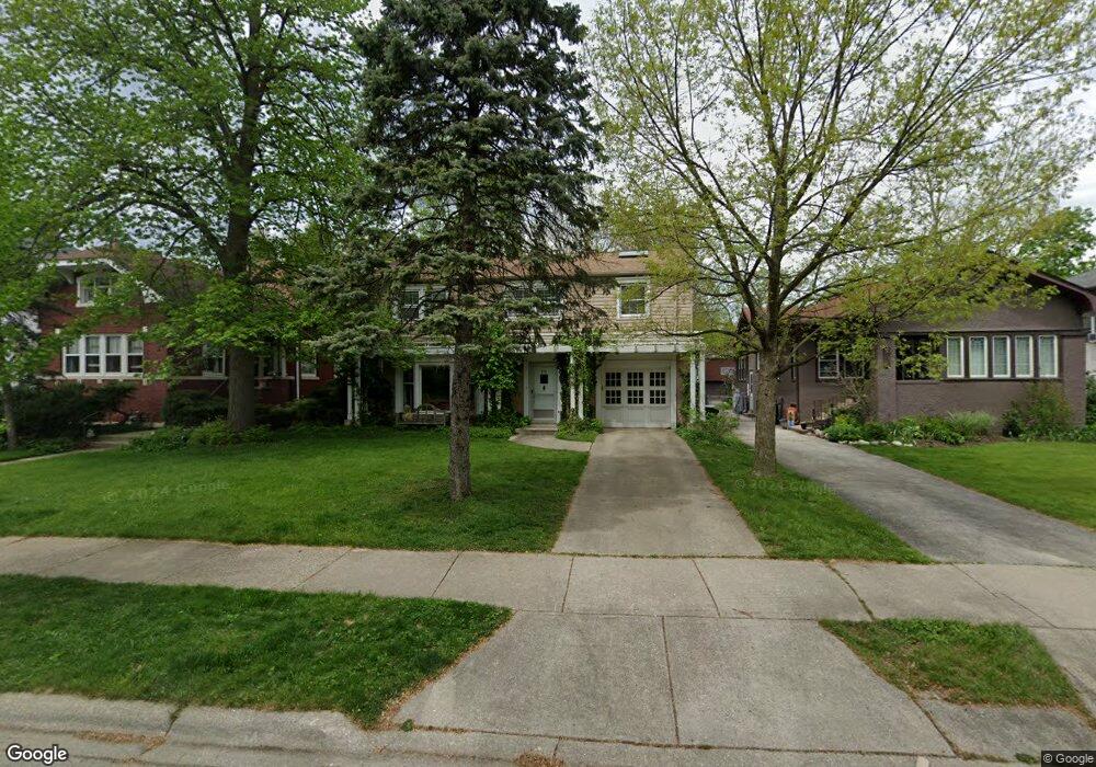
212 Olmsted Rd Riverside, IL 60546
Estimated Value: $718,000 - $871,000
5
Beds
4
Baths
2,994
Sq Ft
$273/Sq Ft
Est. Value
About This Home
This home is located at 212 Olmsted Rd, Riverside, IL 60546 and is currently estimated at $816,958, approximately $272 per square foot. 212 Olmsted Rd is a home located in Cook County with nearby schools including Central Elementary School, L J Hauser Jr High School, and Riverside Brookfield High School.
Ownership History
Date
Name
Owned For
Owner Type
Purchase Details
Closed on
Jul 21, 2005
Sold by
Nie Anthony L and Nie Catherine R
Bought by
Nie Anthony L and Nie Catherine R
Current Estimated Value
Purchase Details
Closed on
Jun 9, 1998
Sold by
American National Bk & Tr Co Of Chicago
Bought by
Nie Anthony L and Nie Catherine R
Home Financials for this Owner
Home Financials are based on the most recent Mortgage that was taken out on this home.
Original Mortgage
$242,200
Outstanding Balance
$44,935
Interest Rate
7.18%
Estimated Equity
$772,023
Create a Home Valuation Report for This Property
The Home Valuation Report is an in-depth analysis detailing your home's value as well as a comparison with similar homes in the area
Home Values in the Area
Average Home Value in this Area
Purchase History
We collect this data history from publicly available records. To have your information removed, we recommend requesting removal directly through your county’s website.
| Date | Buyer | Sale Price | Title Company |
|---|---|---|---|
| Nie Anthony L | -- | -- | |
| Nie Anthony L | $255,000 | -- |
Source: Public Records
Mortgage History
We collect this data history from publicly available records. To have your information removed, we recommend requesting removal directly through your county’s website.
| Date | Status | Borrower | Loan Amount |
|---|---|---|---|
| Open | Nie Anthony L | $242,200 |
Source: Public Records
Tax History
| Year | Tax Paid | Tax Assessment Tax Assessment Total Assessment is a certain percentage of the fair market value that is determined by local assessors to be the total taxable value of land and additions on the property. | Land | Improvement |
|---|---|---|---|---|
| 2025 | $20,693 | $62,710 | $10,165 | $52,545 |
| 2024 | $20,693 | $62,710 | $10,165 | $52,545 |
| 2023 | $17,865 | $68,000 | $10,165 | $57,835 |
| 2022 | $17,865 | $50,062 | $8,894 | $41,168 |
| 2021 | $17,199 | $50,061 | $8,894 | $41,167 |
| 2020 | $18,154 | $54,099 | $8,894 | $45,205 |
| 2019 | $15,586 | $47,712 | $8,132 | $39,580 |
| 2018 | $15,126 | $47,712 | $8,132 | $39,580 |
| 2017 | $14,655 | $47,712 | $8,132 | $39,580 |
| 2016 | $15,150 | $45,517 | $7,115 | $38,402 |
| 2015 | $14,760 | $45,517 | $7,115 | $38,402 |
| 2014 | $14,526 | $45,517 | $7,115 | $38,402 |
| 2013 | $13,757 | $46,726 | $7,115 | $39,611 |
Source: Public Records
Map
Nearby Homes
- 176 Riverside Rd
- 280 Blackhawk Rd
- 291 Lionel Rd
- 349 Blackhawk Rd
- 82 Lawton Rd
- 377 Blackhawk Rd
- 193 Herrick Rd
- 7730 Ogden Ave
- 7335 Oakwood Ave Unit P-10
- 7335 Oakwood Ave Unit P-12
- 7335 Oakwood Ave Unit P-8
- 7335 Oakwood Ave Unit P-11
- 7335 Oakwood Ave Unit P-14
- 7228 39th St Unit 2W
- 7316 40th St Unit P-9
- 7316 40th St Unit P-10
- 7316 40th St Unit P-13
- 10 E Burlington St Unit 2C
- 10 E Burlington St Unit 3B
- 10 E Burlington St Unit 2B
Your Personal Tour Guide
Ask me questions while you tour the home.