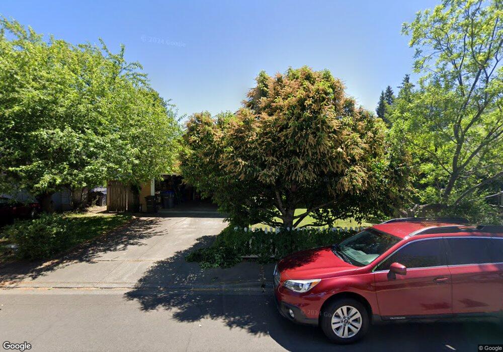
212 Patterson St Ashland, OR 97520
Cottage District NeighborhoodEstimated Value: $503,334 - $548,000
3
Beds
2
Baths
1,407
Sq Ft
$376/Sq Ft
Est. Value
About This Home
This home is located at 212 Patterson St, Ashland, OR 97520 and is currently estimated at $528,584, approximately $375 per square foot. 212 Patterson St is a home located in Jackson County with nearby schools including Walker Elementary School, Ashland Middle School, and Ashland High School.
Ownership History
Date
Name
Owned For
Owner Type
Purchase Details
Closed on
Jun 3, 2003
Sold by
Cooper Keith and Cooper Mariana
Bought by
Spratt Linda O
Current Estimated Value
Home Financials for this Owner
Home Financials are based on the most recent Mortgage that was taken out on this home.
Original Mortgage
$234,800
Outstanding Balance
$102,331
Interest Rate
5.71%
Mortgage Type
Purchase Money Mortgage
Estimated Equity
$426,253
Purchase Details
Closed on
Oct 28, 2002
Sold by
Delgado Susan C and Delgado Family Trust
Bought by
Cooper Keith and Cooper Mariana
Home Financials for this Owner
Home Financials are based on the most recent Mortgage that was taken out on this home.
Original Mortgage
$203,500
Interest Rate
7.25%
Purchase Details
Closed on
Nov 15, 2001
Sold by
Delgado Susan C
Bought by
Delgado Susan C
Home Financials for this Owner
Home Financials are based on the most recent Mortgage that was taken out on this home.
Original Mortgage
$165,000
Interest Rate
6.62%
Create a Home Valuation Report for This Property
The Home Valuation Report is an in-depth analysis detailing your home's value as well as a comparison with similar homes in the area
Home Values in the Area
Average Home Value in this Area
Purchase History
| Date | Buyer | Sale Price | Title Company |
|---|---|---|---|
| Spratt Linda O | $293,500 | Lawyers Title Insurance Corp | |
| Cooper Keith | $194,500 | First American Title Ins Co | |
| Delgado Susan C | -- | First American Title Ins Co |
Source: Public Records
Mortgage History
| Date | Status | Borrower | Loan Amount |
|---|---|---|---|
| Open | Spratt Linda O | $234,800 | |
| Previous Owner | Cooper Keith | $203,500 | |
| Previous Owner | Delgado Susan C | $165,000 |
Source: Public Records
Tax History Compared to Growth
Tax History
| Year | Tax Paid | Tax Assessment Tax Assessment Total Assessment is a certain percentage of the fair market value that is determined by local assessors to be the total taxable value of land and additions on the property. | Land | Improvement |
|---|---|---|---|---|
| 2025 | $4,434 | $285,970 | $104,380 | $181,590 |
| 2024 | $4,434 | $277,650 | $101,340 | $176,310 |
| 2023 | $4,290 | $269,570 | $98,400 | $171,170 |
| 2022 | $4,152 | $269,570 | $98,400 | $171,170 |
| 2021 | $4,010 | $261,720 | $95,540 | $166,180 |
| 2020 | $3,898 | $254,100 | $92,760 | $161,340 |
| 2019 | $3,836 | $239,520 | $87,440 | $152,080 |
| 2018 | $3,624 | $232,550 | $84,900 | $147,650 |
| 2017 | $3,598 | $232,550 | $84,900 | $147,650 |
| 2016 | $3,504 | $219,210 | $80,030 | $139,180 |
| 2015 | $3,369 | $219,210 | $80,030 | $139,180 |
| 2014 | $3,259 | $206,640 | $75,440 | $131,200 |
Source: Public Records
Map
Nearby Homes
- 500 Poplar Place
- 224 Alicia St
- 391 Clinton St Unit 5200
- 401 Clinton St
- 767 Oak St
- 403 Briscoe Place
- 419 Clinton St
- 453 Williamson Way
- 520 Helman St
- 165 Water St
- 237 B St
- 173 Helman St
- 292 B St
- 252 B St
- 496 Starflower Ln
- 586 B St
- 175 Lithia Way Unit 200
- 411 N Mountain Ave
- 380 Hemlock Ln
- 180 Lithia Way Unit 208
- 216 Patterson St
- 196 Patterson St
- 208 Patterson St
- 220 Patterson St
- 200 Patterson St
- 176 Patterson St
- 215 Patterson St
- 217 Patterson St
- 198 Crispin St
- 230 Patterson St
- 490 Poplar Place
- 510 Poplar Place
- 173 Patterson St
- 221 Patterson St
- 238 Patterson St
- 195 Crispin St
- 191 E Hersey St
- 199 E Hersey St
- 190 Crispin St
- 183 E Hersey St