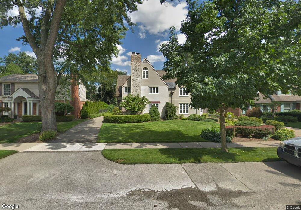
212 Pilgrim Ave Birmingham, MI 48009
Estimated Value: $1,373,000 - $1,818,000
3
Beds
4
Baths
3,486
Sq Ft
$456/Sq Ft
Est. Value
About This Home
This home is located at 212 Pilgrim Ave, Birmingham, MI 48009 and is currently estimated at $1,589,950, approximately $456 per square foot. 212 Pilgrim Ave is a home located in Oakland County with nearby schools including Pierce Elementary School, Ernest W. Seaholm High School, and Holy Name School.
Ownership History
Date
Name
Owned For
Owner Type
Purchase Details
Closed on
Aug 8, 2017
Sold by
Tucker Brett William and Tucker Janice Marie
Bought by
Tucker Janice Marie
Current Estimated Value
Purchase Details
Closed on
Mar 21, 2013
Sold by
Tucker Janice Marie and Tucker Mark Kenneth
Bought by
Tucker Logan Michael and Tucker Brett William
Create a Home Valuation Report for This Property
The Home Valuation Report is an in-depth analysis detailing your home's value as well as a comparison with similar homes in the area
Home Values in the Area
Average Home Value in this Area
Purchase History
| Date | Buyer | Sale Price | Title Company |
|---|---|---|---|
| Tucker Janice Marie | -- | None Available | |
| Tucker Brett William | -- | None Available | |
| Tucker Logan Michael | -- | None Available |
Source: Public Records
Tax History Compared to Growth
Tax History
| Year | Tax Paid | Tax Assessment Tax Assessment Total Assessment is a certain percentage of the fair market value that is determined by local assessors to be the total taxable value of land and additions on the property. | Land | Improvement |
|---|---|---|---|---|
| 2024 | $12,768 | $573,710 | $0 | $0 |
| 2023 | $12,235 | $556,980 | $0 | $0 |
| 2022 | $13,118 | $509,400 | $0 | $0 |
| 2021 | $13,234 | $513,470 | $0 | $0 |
| 2020 | $11,791 | $508,450 | $0 | $0 |
| 2019 | $13,343 | $500,770 | $0 | $0 |
| 2018 | $13,241 | $475,130 | $0 | $0 |
| 2017 | $13,219 | $460,220 | $0 | $0 |
| 2016 | $13,243 | $470,300 | $0 | $0 |
| 2015 | -- | $446,180 | $0 | $0 |
| 2014 | -- | $408,060 | $0 | $0 |
| 2011 | -- | $281,320 | $0 | $0 |
Source: Public Records
Map
Nearby Homes
- 222 Arlington St
- 329 Linden Rd
- 586 Fairfax St
- 520 Pleasant St
- 1834 Fairview St
- 592 Lakeside Dr
- 417 Baldwin Rd
- 120 Westchester Way
- 345 Kimberly St
- 633 Hawthorne St
- 1882 Melbourne St
- 395 Greenwood St
- 394 S Glenhurst Dr
- 695 Westchester Way
- 480 Southfield Rd
- 834 Southfield Rd
- 601 Dewey St
- 1057 Arlington St
- 999 Pleasant Ave
- 583 Southfield Rd
- 232 Pilgrim Ave
- 180 Pilgrim Ave
- 248 Pilgrim Ave
- 148 Pilgrim Ave Unit Bldg-Unit
- 148 Pilgrim Ave
- 183 Puritan Ave
- 245 Puritan Ave
- 165 Puritan Ave
- 268 Pilgrim Ave
- 187 Pilgrim Ave
- 133 Puritan Ave
- 229 Pilgrim Ave
- 159 Pilgrim Ave
- 139 Pilgrim Ave
- 263 Puritan Ave
- 239 Pilgrim Ave
- 284 Pilgrim Ave
- 265 Pilgrim Ave
- 287 Puritan Ave
- 117 Arlington St