212 Poor Farm Rd Lake Como, PA 18437
Estimated Value: $240,000 - $577,374
3
Beds
3
Baths
1,716
Sq Ft
$229/Sq Ft
Est. Value
About This Home
This home is located at 212 Poor Farm Rd, Lake Como, PA 18437 and is currently estimated at $392,458, approximately $228 per square foot. 212 Poor Farm Rd is a home located in Wayne County with nearby schools including Honesdale High School.
Ownership History
Date
Name
Owned For
Owner Type
Purchase Details
Closed on
May 7, 2009
Sold by
Studner Michael S and Studner Matthew Bart
Bought by
Fawley James K
Current Estimated Value
Home Financials for this Owner
Home Financials are based on the most recent Mortgage that was taken out on this home.
Original Mortgage
$272,000
Outstanding Balance
$172,041
Interest Rate
4.87%
Mortgage Type
Purchase Money Mortgage
Estimated Equity
$220,417
Create a Home Valuation Report for This Property
The Home Valuation Report is an in-depth analysis detailing your home's value as well as a comparison with similar homes in the area
Home Values in the Area
Average Home Value in this Area
Purchase History
| Date | Buyer | Sale Price | Title Company |
|---|---|---|---|
| Fawley James K | $340,000 | None Available |
Source: Public Records
Mortgage History
| Date | Status | Borrower | Loan Amount |
|---|---|---|---|
| Open | Fawley James K | $272,000 |
Source: Public Records
Tax History Compared to Growth
Tax History
| Year | Tax Paid | Tax Assessment Tax Assessment Total Assessment is a certain percentage of the fair market value that is determined by local assessors to be the total taxable value of land and additions on the property. | Land | Improvement |
|---|---|---|---|---|
| 2025 | $7,830 | $454,000 | $98,700 | $355,300 |
| 2024 | $7,483 | $454,000 | $98,700 | $355,300 |
| 2023 | $10,487 | $454,000 | $98,700 | $355,300 |
| 2022 | $6,026 | $237,500 | $57,100 | $180,400 |
| 2021 | $5,969 | $237,500 | $57,100 | $180,400 |
| 2020 | $5,969 | $237,500 | $57,100 | $180,400 |
| 2019 | $5,520 | $237,500 | $57,100 | $180,400 |
| 2018 | $5,380 | $237,500 | $57,100 | $180,400 |
| 2017 | $5,014 | $237,500 | $57,100 | $180,400 |
| 2016 | $5,019 | $237,500 | $57,100 | $180,400 |
| 2014 | -- | $225,200 | $57,100 | $168,100 |
Source: Public Records
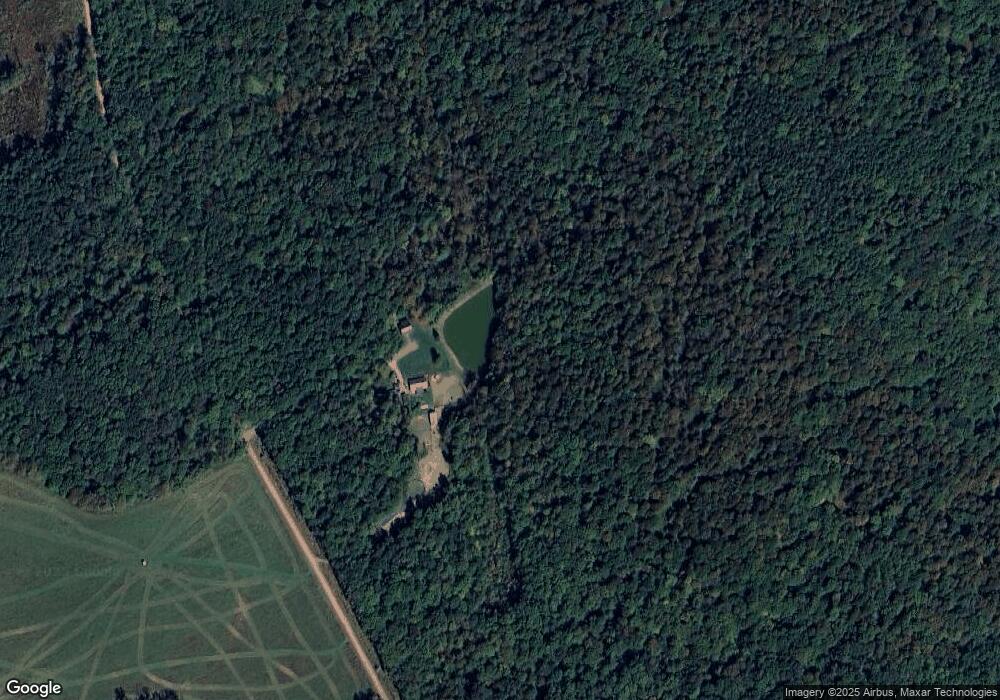
Map
Nearby Homes
- 749 Rose Hill Rd
- 3307 Creamton Dr
- 263 Como Rd
- 259 Como Rd
- 0 Stockport Tpke & Como Rd Unit PWBPW253047
- 0 Como Rd Unit 11531101
- 0 Stockport Rd
- 223 Rainbow Rd
- 0 Stockport Turnpike Unit PWBPW240698
- 0 Stockport Turnpike Unit 20-1243
- 2793 Crosstown Hwy
- 222 Stockport Rd
- 69 Como Rd
- 124 Rainbow Rd
- 0 Crosstown Hwy Unit PWBPW250386
- 0 Creamton Dr Unit 23525787
- 0 Creamton Dr Unit PWBPW251384
- 23 Little Spruce Ln
- 65 Run A Muck Ln
- 0 Warren Rd
- 159 Poor Farm Rd
- 119 Poor Farm Rd
- 523 Stockport Rd
- 292 Stockport Rd
- 123 Jericho Rd
- 49 Poor Farm Rd
- 41 Poor Farm Rd
- 242 Stockport Rd
- 340 Jericho Rd
- 239 Stockport Rd
- 228 Stockport Rd
- 21 Poor Farm Rd
- 557 Rose Hill Rd
- 468 Rose Hill Rd
- 30 Silo Rd
- 221 Stockport Rd
- 11 Poor Farm Rd
- 0 Rose Hill Rd
- 152 Rose Hill Rd
- 216 Jericho Rd