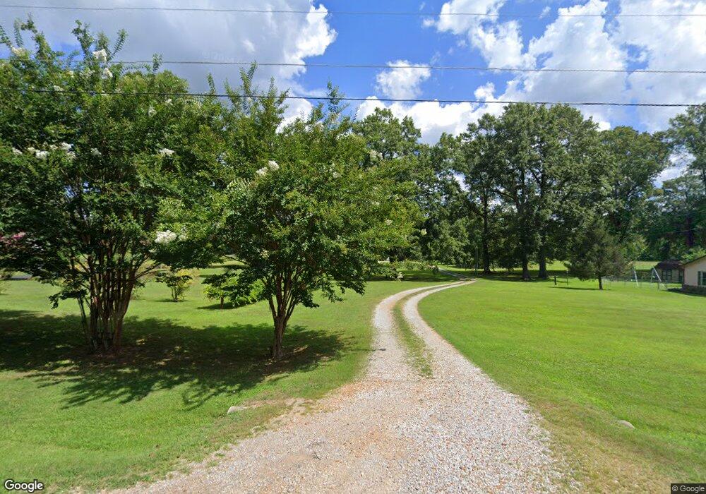
212 Powell St Gurley, AL 35748
Estimated Value: $413,000 - $525,575
--
Bed
1
Bath
2,493
Sq Ft
$192/Sq Ft
Est. Value
About This Home
This home is located at 212 Powell St, Gurley, AL 35748 and is currently estimated at $479,525, approximately $192 per square foot. 212 Powell St is a home with nearby schools including Central School and Madison County High School.
Create a Home Valuation Report for This Property
The Home Valuation Report is an in-depth analysis detailing your home's value as well as a comparison with similar homes in the area
Home Values in the Area
Average Home Value in this Area
Tax History Compared to Growth
Tax History
| Year | Tax Paid | Tax Assessment Tax Assessment Total Assessment is a certain percentage of the fair market value that is determined by local assessors to be the total taxable value of land and additions on the property. | Land | Improvement |
|---|---|---|---|---|
| 2024 | $1,556 | $43,780 | $9,480 | $34,300 |
| 2023 | $1,522 | $42,860 | $9,480 | $33,380 |
| 2022 | $1,216 | $35,080 | $5,400 | $29,680 |
| 2021 | $1,099 | $31,880 | $5,400 | $26,480 |
| 2020 | $1,033 | $30,060 | $5,400 | $24,660 |
| 2019 | $999 | $29,140 | $5,400 | $23,740 |
| 2018 | $1,824 | $50,500 | $0 | $0 |
| 2017 | $1,772 | $48,940 | $0 | $0 |
| 2016 | $1,772 | $48,940 | $0 | $0 |
| 2015 | $1,772 | $48,940 | $0 | $0 |
| 2014 | $1,045 | $26,860 | $0 | $0 |
Source: Public Records
Map
Nearby Homes
- 211 Powell St
- 218 Powell St
- 102 Peyton Cir
- 2906 Gurley Pike
- 107 Nolan Dr
- 221 Grasslands Rd
- 216 Grasslands Rd
- 235 Grasslands Rd
- 1519 Ryland Pike
- 309 Gilliam Rd
- 0 Gilliam Rd
- 172 Day Dr
- 3608 Maysville Rd NE
- 111 Cool Cir
- 483 Moontown Rd
- 477 Moontown Rd
- 506 Moontown Rd
- 362 Moontown Rd
- 350 Moontown Rd
- 123 Delta Pine Dr