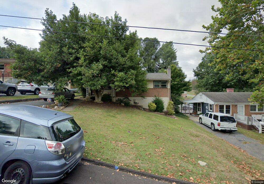
212 River Rd Waynesboro, VA 22980
Estimated Value: $230,000 - $284,000
3
Beds
2
Baths
912
Sq Ft
$282/Sq Ft
Est. Value
About This Home
This home is located at 212 River Rd, Waynesboro, VA 22980 and is currently estimated at $257,410, approximately $282 per square foot. 212 River Rd is a home located in Waynesboro City with nearby schools including Berkeley Glenn Elementary School, Kate Collins Middle School, and Waynesboro High School.
Ownership History
Date
Name
Owned For
Owner Type
Purchase Details
Closed on
Oct 2, 2008
Sold by
Thomas William J
Bought by
Priani Roberto A and Saby Kyla D
Current Estimated Value
Home Financials for this Owner
Home Financials are based on the most recent Mortgage that was taken out on this home.
Original Mortgage
$144,322
Outstanding Balance
$96,476
Interest Rate
6.54%
Mortgage Type
FHA
Estimated Equity
$160,934
Purchase Details
Closed on
Mar 25, 2008
Sold by
Moore Sub Tr Cecil G
Bought by
Thomas William
Home Financials for this Owner
Home Financials are based on the most recent Mortgage that was taken out on this home.
Original Mortgage
$85,000
Interest Rate
6.22%
Mortgage Type
Credit Line Revolving
Create a Home Valuation Report for This Property
The Home Valuation Report is an in-depth analysis detailing your home's value as well as a comparison with similar homes in the area
Purchase History
| Date | Buyer | Sale Price | Title Company |
|---|---|---|---|
| Priani Roberto A | $146,950 | -- | |
| Thomas William | $73,000 | -- |
Source: Public Records
Mortgage History
| Date | Status | Borrower | Loan Amount |
|---|---|---|---|
| Open | Thomas William | $144,322 | |
| Previous Owner | Thomas William | $85,000 |
Source: Public Records
Tax History
| Year | Tax Paid | Tax Assessment Tax Assessment Total Assessment is a certain percentage of the fair market value that is determined by local assessors to be the total taxable value of land and additions on the property. | Land | Improvement |
|---|---|---|---|---|
| 2025 | $1,742 | $212,400 | $47,500 | $164,900 |
| 2024 | $1,388 | $180,300 | $40,000 | $140,300 |
| 2023 | $1,388 | $180,300 | $40,000 | $140,300 |
| 2022 | $1,291 | $143,400 | $35,000 | $108,400 |
| 2021 | $1,291 | $143,400 | $35,000 | $108,400 |
| 2020 | $1,126 | $125,100 | $35,000 | $90,100 |
| 2019 | $1,126 | $125,100 | $35,000 | $90,100 |
| 2018 | $971 | $107,900 | $35,000 | $72,900 |
| 2017 | $939 | $107,900 | $35,000 | $72,900 |
| 2016 | $842 | $105,200 | $35,000 | $70,200 |
| 2015 | $842 | $105,200 | $35,000 | $70,200 |
| 2014 | -- | $98,700 | $35,000 | $63,700 |
| 2013 | -- | $0 | $0 | $0 |
Source: Public Records
Map
Nearby Homes
- 1133 Club Rd
- 842 Maple Ave
- 700 Rife Rd Unit 7-I
- 833 Jefferson Ave
- 1305 13th St
- 424 Oak Ave
- 829 Greenway Cir
- 428 Maple Ave
- 1215 W 12th St
- 628 Market Ave
- 373 S Magnolia Ave
- 701 Western Rd
- 812 Meadowbrook Rd
- 315 Dupont Cir
- 314 13th St
- 701 Rosser Ave
- 1837 Cherokee Rd
- 315 W 12th St
- 317 W 12th St
- 1245 Hollins Rd
Your Personal Tour Guide
Ask me questions while you tour the home.