212 Rockhill Dr San Antonio, TX 78209
Oak Park-Northwood NeighborhoodEstimated Value: $1,014,000 - $2,264,906
7
Beds
4
Baths
6,445
Sq Ft
$260/Sq Ft
Est. Value
About This Home
This home is located at 212 Rockhill Dr, San Antonio, TX 78209 and is currently estimated at $1,674,635, approximately $259 per square foot. 212 Rockhill Dr is a home located in Bexar County with nearby schools including Woodridge Elementary School, Alamo Heights Junior School, and Alamo Heights High School.
Ownership History
Date
Name
Owned For
Owner Type
Purchase Details
Closed on
Mar 19, 2015
Sold by
Studer Stanley Sawyer
Bought by
Studer Laura H
Current Estimated Value
Home Financials for this Owner
Home Financials are based on the most recent Mortgage that was taken out on this home.
Original Mortgage
$514,200
Outstanding Balance
$186,140
Interest Rate
3.82%
Mortgage Type
New Conventional
Estimated Equity
$1,488,495
Purchase Details
Closed on
Dec 12, 2000
Sold by
Berler James M and Berler Arlene B
Bought by
Studer Stanley Sawyer and Studer Jan Hardy
Home Financials for this Owner
Home Financials are based on the most recent Mortgage that was taken out on this home.
Original Mortgage
$542,000
Interest Rate
7.72%
Create a Home Valuation Report for This Property
The Home Valuation Report is an in-depth analysis detailing your home's value as well as a comparison with similar homes in the area
Home Values in the Area
Average Home Value in this Area
Purchase History
| Date | Buyer | Sale Price | Title Company |
|---|---|---|---|
| Studer Laura H | -- | Great American Title | |
| Studer Stanley Sawyer | -- | -- |
Source: Public Records
Mortgage History
| Date | Status | Borrower | Loan Amount |
|---|---|---|---|
| Open | Studer Laura H | $514,200 | |
| Closed | Studer Stanley Sawyer | $542,000 | |
| Closed | Studer Stanley Sawyer | $67,750 |
Source: Public Records
Tax History Compared to Growth
Tax History
| Year | Tax Paid | Tax Assessment Tax Assessment Total Assessment is a certain percentage of the fair market value that is determined by local assessors to be the total taxable value of land and additions on the property. | Land | Improvement |
|---|---|---|---|---|
| 2025 | $39,539 | $1,960,000 | $905,630 | $1,054,370 |
| 2024 | $39,539 | $2,000,000 | $905,630 | $1,094,370 |
| 2023 | $39,539 | $1,846,845 | $905,630 | $1,016,370 |
| 2022 | $40,645 | $1,678,950 | $625,500 | $1,053,450 |
| 2021 | $39,905 | $1,599,000 | $544,600 | $1,054,400 |
| 2020 | $38,474 | $1,468,000 | $544,600 | $923,400 |
| 2019 | $35,817 | $1,400,000 | $470,650 | $929,350 |
| 2018 | $34,945 | $1,395,000 | $408,880 | $986,120 |
| 2017 | $34,692 | $1,385,000 | $281,000 | $1,104,000 |
| 2016 | $34,266 | $1,368,000 | $200,180 | $1,167,820 |
| 2015 | $31,165 | $1,345,900 | $200,180 | $1,145,720 |
| 2014 | $31,165 | $1,240,000 | $0 | $0 |
Source: Public Records
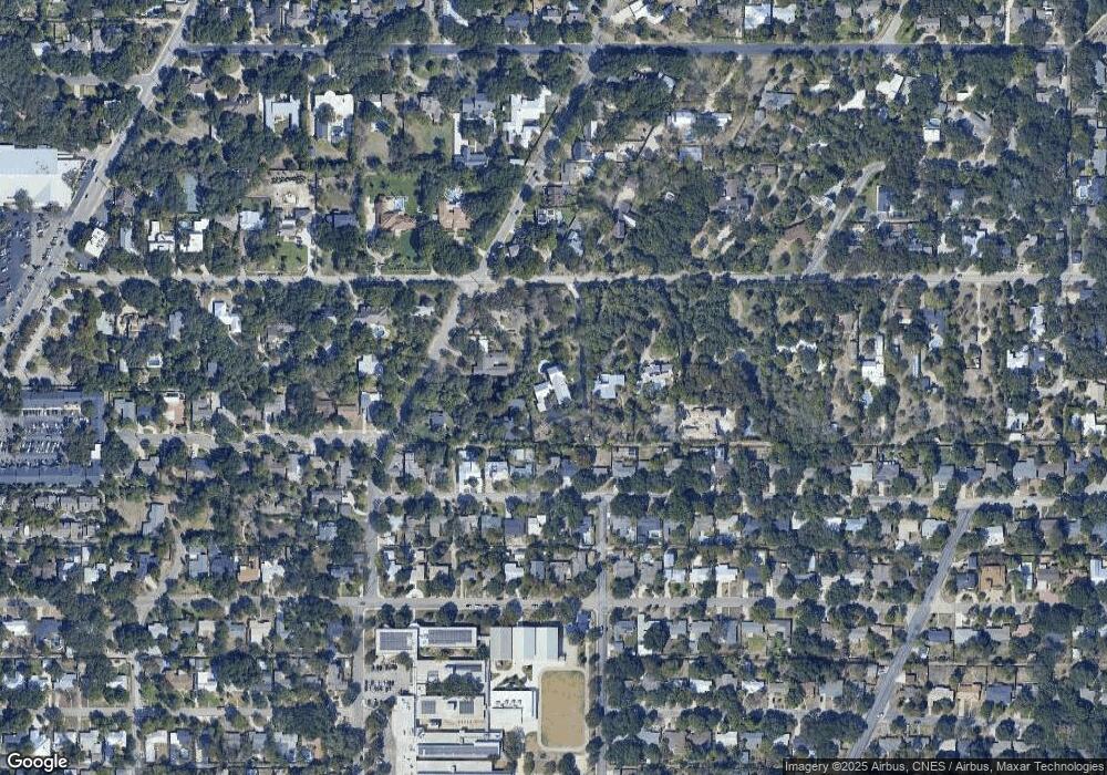
Map
Nearby Homes
- 134 Rockhill Dr
- 215 Oakleaf Dr
- 2603 Brookhurst Dr
- 419 Woodcrest Dr
- 510 Burnside Dr
- 2434 Toftrees Dr
- 351 Northridge Dr
- 205 Larkwood Dr
- 318 Northridge Dr
- 127 Larkwood Dr
- 315 Tophill Rd
- 530 Burnside Dr
- 215 Tophill Rd
- 623 E Nottingham Dr
- 8033 N New Braunfels Ave Unit 400D
- 8033 N New Braunfels Ave Unit 500C
- 8033 N New Braunfels Ave Unit 300E
- 631 Robinhood Place
- 2119 Flamingo St
- 411 E Nottingham Dr
- 218 Rockhill Dr
- 7702 Woodridge Dr
- 7722 Woodridge Dr
- 327 Burnside Dr
- 331 Burnside Dr
- 323 Burnside Dr
- 206 Rockhill Dr
- 335 Burnside Dr
- 319 Burnside Dr
- 220 Rockhill Dr
- 403 Burnside Dr
- 315 Burnside Dr
- 407 Burnside Dr
- 207 Rockhill Dr
- 330 Burnside Dr
- 326 Burnside Dr
- 311 Burnside Dr
- 334 Burnside Dr
- 203 Rockhill Dr
- 322 Burnside Dr