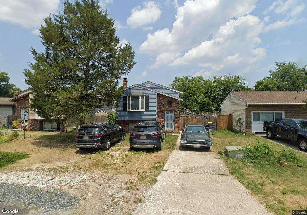
212 Roosevelt Ave Glen Burnie, MD 21061
Estimated Value: $335,000 - $400,000
--
Bed
1
Bath
866
Sq Ft
$433/Sq Ft
Est. Value
About This Home
This home is located at 212 Roosevelt Ave, Glen Burnie, MD 21061 and is currently estimated at $374,952, approximately $432 per square foot. 212 Roosevelt Ave is a home located in Anne Arundel County with nearby schools including Richard Henry Lee Elementary School, Corkran Middle School, and Glen Burnie High School.
Ownership History
Date
Name
Owned For
Owner Type
Purchase Details
Closed on
Jun 12, 2001
Sold by
Martin Willard E
Bought by
Kato William
Current Estimated Value
Purchase Details
Closed on
Aug 16, 1988
Sold by
Lloyd Charles M
Bought by
Martin Willard E
Home Financials for this Owner
Home Financials are based on the most recent Mortgage that was taken out on this home.
Original Mortgage
$94,400
Interest Rate
10.57%
Create a Home Valuation Report for This Property
The Home Valuation Report is an in-depth analysis detailing your home's value as well as a comparison with similar homes in the area
Home Values in the Area
Average Home Value in this Area
Purchase History
| Date | Buyer | Sale Price | Title Company |
|---|---|---|---|
| Kato William | $143,000 | -- | |
| Martin Willard E | $93,500 | -- |
Source: Public Records
Mortgage History
| Date | Status | Borrower | Loan Amount |
|---|---|---|---|
| Previous Owner | Martin Willard E | $94,400 | |
| Closed | Kato William | -- |
Source: Public Records
Tax History Compared to Growth
Tax History
| Year | Tax Paid | Tax Assessment Tax Assessment Total Assessment is a certain percentage of the fair market value that is determined by local assessors to be the total taxable value of land and additions on the property. | Land | Improvement |
|---|---|---|---|---|
| 2025 | $2,431 | $270,200 | $136,800 | $133,400 |
| 2024 | $2,431 | $255,867 | $0 | $0 |
| 2023 | $2,349 | $241,533 | $0 | $0 |
| 2022 | $2,374 | $227,200 | $116,800 | $110,400 |
| 2021 | $4,289 | $219,367 | $0 | $0 |
| 2020 | $2,066 | $211,533 | $0 | $0 |
| 2019 | $3,986 | $203,700 | $111,800 | $91,900 |
| 2018 | $2,066 | $203,700 | $111,800 | $91,900 |
| 2017 | $1,929 | $203,700 | $0 | $0 |
| 2016 | -- | $215,500 | $0 | $0 |
| 2015 | -- | $208,333 | $0 | $0 |
| 2014 | -- | $201,167 | $0 | $0 |
Source: Public Records
Map
Nearby Homes
- 209 Lincoln Ave SW
- 207 Lincoln Ave SW
- 107 Main Ave SW
- 19 Main Ave SW
- 903 Jay Ct
- 318 Washington Blvd
- 320 Washington Blvd
- 618 Stewart Ave
- 420 Lincoln Ave SW
- 305 Newfield Rd
- 625 Newfield Rd
- 301 Newfield Rd
- 118 Heather Stone Way Unit 80
- 227 Truck Farm Dr
- 418 Rose Ave
- 267 Truck Farm Dr
- 911 Meadowbrook Rd
- 120 Kindred Way
- 1324 Ray Ln
- 112 Kindred Way
- 214 Roosevelt Ave
- 210 Roosevelt Ave
- 216 Roosevelt Ave
- 208 Roosevelt Ave
- 218 Roosevelt Ave
- 217 Wilson Blvd SW
- 219 Wilson Blvd SW
- 213 Wilson Blvd SW
- 213 Roosevelt Ave
- 204 Roosevelt Ave
- 222 Roosevelt Ave
- 215 Roosevelt Ave
- 211 Roosevelt Ave
- 209 Roosevelt Ave
- 217 Roosevelt Ave
- 207 Wilson Blvd SW
- 223 Wilson Blvd SW
- 219 Roosevelt Ave
- 202 Roosevelt Ave
- 300 Roosevelt Ave