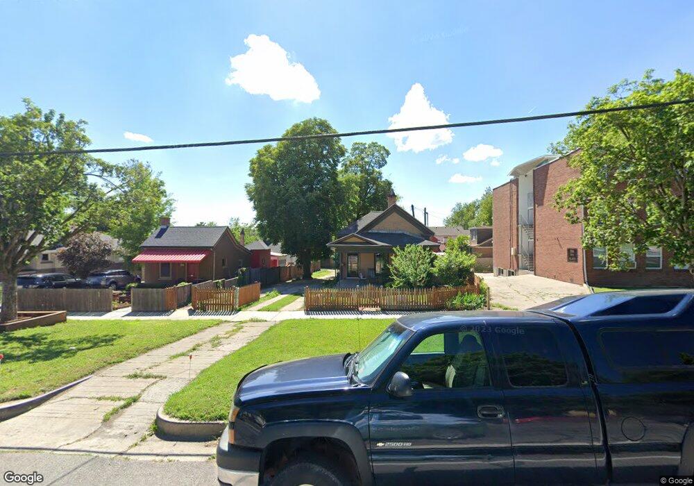
212 S 1100 E Salt Lake City, UT 84102
East Central NeighborhoodEstimated Value: $502,000 - $603,000
3
Beds
1
Bath
1,118
Sq Ft
$502/Sq Ft
Est. Value
About This Home
This home is located at 212 S 1100 E, Salt Lake City, UT 84102 and is currently estimated at $560,939, approximately $501 per square foot. 212 S 1100 E is a home located in Salt Lake County with nearby schools including Wasatch Elementary School, East High School, and City Academy.
Ownership History
Date
Name
Owned For
Owner Type
Purchase Details
Closed on
Jul 30, 2004
Sold by
Layton Stanford J and Michelina Layton C
Bought by
Watson Patrick W and Emory Joy
Current Estimated Value
Home Financials for this Owner
Home Financials are based on the most recent Mortgage that was taken out on this home.
Original Mortgage
$81,600
Interest Rate
6.29%
Mortgage Type
Purchase Money Mortgage
Create a Home Valuation Report for This Property
The Home Valuation Report is an in-depth analysis detailing your home's value as well as a comparison with similar homes in the area
Home Values in the Area
Average Home Value in this Area
Purchase History
| Date | Buyer | Sale Price | Title Company |
|---|---|---|---|
| Watson Patrick W | -- | Cottonwood Title Ins Agency |
Source: Public Records
Mortgage History
| Date | Status | Borrower | Loan Amount |
|---|---|---|---|
| Previous Owner | Watson Patrick W | $81,600 |
Source: Public Records
Tax History Compared to Growth
Tax History
| Year | Tax Paid | Tax Assessment Tax Assessment Total Assessment is a certain percentage of the fair market value that is determined by local assessors to be the total taxable value of land and additions on the property. | Land | Improvement |
|---|---|---|---|---|
| 2025 | $384 | $453,000 | $207,900 | $245,100 |
| 2024 | $384 | $449,000 | $196,700 | $252,300 |
| 2023 | $417 | $454,600 | $189,100 | $265,500 |
| 2022 | $417 | $465,300 | $185,400 | $279,900 |
| 2021 | $2,569 | $401,300 | $146,000 | $255,300 |
| 2020 | $2,051 | $305,000 | $142,000 | $163,000 |
| 2019 | $2,009 | $281,000 | $133,300 | $147,700 |
| 2018 | $0 | $268,200 | $133,300 | $134,900 |
| 2017 | $2,061 | $263,000 | $133,300 | $129,700 |
| 2016 | $2,044 | $247,800 | $93,100 | $154,700 |
| 2015 | $2,007 | $230,600 | $91,200 | $139,400 |
| 2014 | $1,938 | $220,900 | $89,400 | $131,500 |
Source: Public Records
Map
Nearby Homes
- 1058 E 200 S
- 243 S Elizabeth St
- 115 S 1100 E Unit 614
- 101 S 1100 E Unit 101
- 359 S 1100 E
- 1227 E 300 S
- 1235 E 200 S Unit 1001
- 365 S Elizabeth St
- 161 S 900 E
- 1116 E 400 S
- 228 S 900 E
- 1044 E 400 S Unit 407A
- 862 E Menlo Ave
- 130 S 1300 E Unit 704
- 130 S 1300 E Unit 703
- 130 S 1300 E Unit 408
- 130 S 1300 E Unit 706
- 130 S 1300 E Unit 302
- 130 S 1300 E Unit 605
- 130 S 1300 E Unit 608
- 216 S 1100 E
- 218 S 1100 E
- 1064 E 200 S
- 1071 E Norris Place
- 1071 Norris Place Unit 1073
- 226 S 1100 E
- 1073 E Norris Place
- 1069 Norris Place
- 1069 E Norris Place
- 1057 Norris Place
- 1054 E 200 S
- 234 S 1100 E
- 1053 Norris Place
- 1068 E Norris Place
- 1068 Norris Place
- 1068 Norris Place Unit A
- 1064 E Norris Place
- 1064 Norris Place
- 238 S 1100 E
- 1048 E 200 S