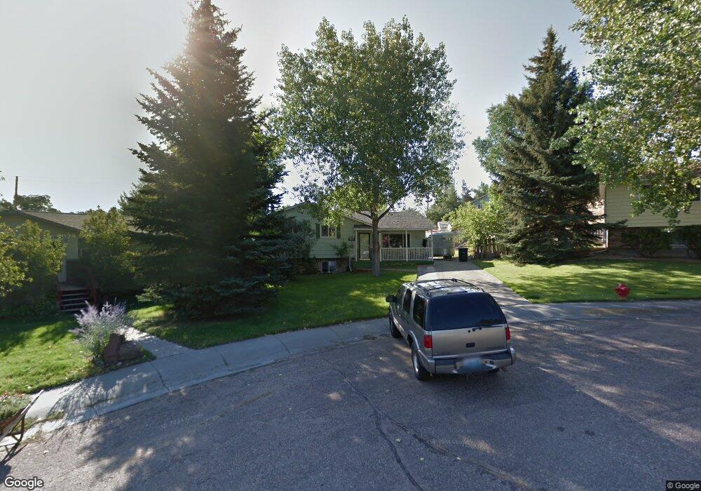
212 S 6th St Glenrock, WY 82637
Estimated Value: $48,000 - $310,000
3
Beds
2
Baths
1,328
Sq Ft
$172/Sq Ft
Est. Value
About This Home
This home is located at 212 S 6th St, Glenrock, WY 82637 and is currently estimated at $228,437, approximately $172 per square foot. 212 S 6th St is a home with nearby schools including Grant Elementary School, Glenrock Intermediate School, and Boxelder Elementary.
Ownership History
Date
Name
Owned For
Owner Type
Purchase Details
Closed on
Dec 30, 2021
Sold by
Gudahl Wesley and Gudahl Ivette
Bought by
Duran Phillip E and Duran Jennifer R
Current Estimated Value
Home Financials for this Owner
Home Financials are based on the most recent Mortgage that was taken out on this home.
Original Mortgage
$0
Interest Rate
3.11%
Mortgage Type
New Conventional
Create a Home Valuation Report for This Property
The Home Valuation Report is an in-depth analysis detailing your home's value as well as a comparison with similar homes in the area
Home Values in the Area
Average Home Value in this Area
Purchase History
| Date | Buyer | Sale Price | Title Company |
|---|---|---|---|
| Duran Phillip E | -- | None Listed On Document | |
| Duran Phillip E | -- | None Listed On Document |
Source: Public Records
Mortgage History
| Date | Status | Borrower | Loan Amount |
|---|---|---|---|
| Closed | Duran Phillip E | $0 |
Source: Public Records
Tax History Compared to Growth
Tax History
| Year | Tax Paid | Tax Assessment Tax Assessment Total Assessment is a certain percentage of the fair market value that is determined by local assessors to be the total taxable value of land and additions on the property. | Land | Improvement |
|---|---|---|---|---|
| 2025 | $1,634 | $17,651 | $2,385 | $15,266 |
| 2024 | $1,634 | $22,132 | $3,078 | $19,054 |
| 2023 | $1,555 | $20,948 | $2,565 | $18,383 |
| 2022 | $1,441 | $19,573 | $2,565 | $17,008 |
| 2021 | $1,387 | $18,523 | $2,394 | $16,129 |
| 2020 | $1,261 | $17,222 | $2,394 | $14,828 |
| 2019 | $1,235 | $16,630 | $2,394 | $14,236 |
| 2018 | $1,199 | $16,725 | $2,394 | $14,331 |
| 2017 | $1,211 | $16,552 | $2,223 | $14,329 |
| 2015 | $1,033 | $13,913 | $2,155 | $11,758 |
| 2014 | $1,034 | $13,895 | $2,052 | $11,843 |
Source: Public Records
Map
Nearby Homes
- 618 S 5th St
- 416 S 3rd St
- 312 S 2nd St
- 225 N 4th St
- Lot 5 and 6 W Platte St
- Lot 3 and 4 W Platte St
- 621 S 2nd St
- 820 Grove St
- Lot 8 John Butler Dr
- Lot 4 Grove St
- Lot 5 Grove St
- Lot 3 Grove St
- Lot 1 Grove St
- 382 Miller Rd
- 409 Claim Draw
- Lot 12 Sunup Rd
- 562 Emigrant Dr
- 556 Emigrant Dr
- 550 Emigrant Dr
- 502 Emigrant Dr
- 206 S 6th St
- 218 S 6th St Unit Birch
- 218 S 6th St
- 211 S 5th St
- 517 W Birch St
- 221 S 5th St
- 307 Ash St Unit Cedar
- 224 S 6th St
- 605 W Birch St
- 613 Dorsey Ave Unit Birch
- 516 W Birch St
- 417 W Birch St
- 417 W Birch St Unit 5th
- 417 W Birch St Unit Birch
- 212 S 5th St
- 419 W Cedar St
- 325 Ash St Unit Deer
- 604 W Birch St
- 114 S 6th St
- 620 W Deer St