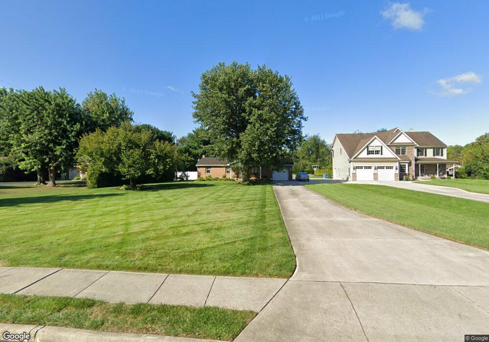
212 S Broad St Clayton, NJ 08312
Estimated Value: $269,665 - $327,000
--
Bed
--
Bath
1,176
Sq Ft
$253/Sq Ft
Est. Value
About This Home
This home is located at 212 S Broad St, Clayton, NJ 08312 and is currently estimated at $297,666, approximately $253 per square foot. 212 S Broad St is a home located in Gloucester County with nearby schools including Herma S. Simmons Elementary School, Clayton Middle School, and Clayton High School.
Ownership History
Date
Name
Owned For
Owner Type
Purchase Details
Closed on
Feb 5, 2004
Sold by
Kratz Jeffrey and Kratz Terri A
Bought by
Kratz Terri A
Current Estimated Value
Purchase Details
Closed on
Oct 27, 1994
Sold by
Ambrose Louis C and Ambrose Bernadette
Bought by
Kratz Jeffrey and Whiting Terri
Create a Home Valuation Report for This Property
The Home Valuation Report is an in-depth analysis detailing your home's value as well as a comparison with similar homes in the area
Home Values in the Area
Average Home Value in this Area
Purchase History
| Date | Buyer | Sale Price | Title Company |
|---|---|---|---|
| Kratz Terri A | -- | -- | |
| Kratz Jeffrey | $91,459 | -- |
Source: Public Records
Tax History Compared to Growth
Tax History
| Year | Tax Paid | Tax Assessment Tax Assessment Total Assessment is a certain percentage of the fair market value that is determined by local assessors to be the total taxable value of land and additions on the property. | Land | Improvement |
|---|---|---|---|---|
| 2025 | $7,192 | $290,600 | $74,500 | $216,100 |
| 2024 | $7,367 | $290,600 | $74,500 | $216,100 |
| 2023 | $7,367 | $182,300 | $41,900 | $140,400 |
| 2022 | $7,287 | $182,300 | $41,900 | $140,400 |
| 2021 | $7,187 | $182,300 | $41,900 | $140,400 |
| 2020 | $7,214 | $182,300 | $41,900 | $140,400 |
| 2019 | $7,091 | $182,300 | $41,900 | $140,400 |
| 2018 | $7,662 | $199,800 | $41,900 | $157,900 |
| 2017 | $7,532 | $199,800 | $41,900 | $157,900 |
| 2016 | $7,453 | $199,800 | $41,900 | $157,900 |
| 2015 | $7,233 | $199,800 | $41,900 | $157,900 |
| 2014 | $6,981 | $199,800 | $41,900 | $157,900 |
Source: Public Records
Map
Nearby Homes
- 125 W Clayton Ave
- 196 Jerrys Ave
- 100 Jerrys Ave
- 237 S Delsea Dr
- 238 W Center St
- 904 Pine Ave
- 745 W Clayton Ave
- 760 W Clayton Ave
- 320 E Clayton Ave
- 100 Aura Rd Unit 112
- 100 Aura Rd Unit 212
- 100 Aura Rd Unit 311
- 100 Aura Rd Unit 111
- 100 Aura Rd Unit 110
- 7 Hawthorn Way
- 131 W Clinton St
- 124 W Howard St
- 216 E Howard St
- 211 Hollywood Ave
- 510 Coleman Dr
- 210 S Broad St
- 218 S Broad St
- 220 S Broad St
- 220 W Chestnut St
- 208 S Broad St
- 230 W Chestnut St
- 314 S Broad St
- 171 Morton Ave
- 211 S Broad St
- 209 S Broad St
- 248 W Chestnut St
- 316 S Broad St
- 192 Morton Ave
- 190 W Chestnut St
- 260 W Chestnut St
- 235 W Chestnut St
- 137 Morton Ave
- 176 S Broad St
- 180 W Chestnut St
- 355 S Broad St