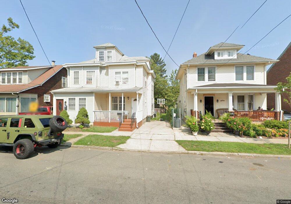
212 S Johnston Ave Trenton, NJ 08609
Estimated Value: $260,663 - $368,000
--
Bed
--
Bath
1,441
Sq Ft
$215/Sq Ft
Est. Value
About This Home
This home is located at 212 S Johnston Ave, Trenton, NJ 08609 and is currently estimated at $309,916, approximately $215 per square foot. 212 S Johnston Ave is a home located in Mercer County with nearby schools including Greenwood Elementary School, Richard C. Crockett Middle School, and Nottingham High School - North.
Ownership History
Date
Name
Owned For
Owner Type
Purchase Details
Closed on
Dec 28, 2007
Sold by
Exr Donald T Morrissey
Bought by
Neree Ronald and Neree Judith M
Current Estimated Value
Home Financials for this Owner
Home Financials are based on the most recent Mortgage that was taken out on this home.
Original Mortgage
$173,627
Outstanding Balance
$109,882
Interest Rate
6.21%
Mortgage Type
New Conventional
Estimated Equity
$200,034
Create a Home Valuation Report for This Property
The Home Valuation Report is an in-depth analysis detailing your home's value as well as a comparison with similar homes in the area
Home Values in the Area
Average Home Value in this Area
Purchase History
| Date | Buyer | Sale Price | Title Company |
|---|---|---|---|
| Neree Ronald | $175,000 | -- |
Source: Public Records
Mortgage History
| Date | Status | Borrower | Loan Amount |
|---|---|---|---|
| Open | Neree Ronald | $173,627 |
Source: Public Records
Tax History Compared to Growth
Tax History
| Year | Tax Paid | Tax Assessment Tax Assessment Total Assessment is a certain percentage of the fair market value that is determined by local assessors to be the total taxable value of land and additions on the property. | Land | Improvement |
|---|---|---|---|---|
| 2025 | $3,499 | $99,300 | $24,200 | $75,100 |
| 2024 | $3,280 | $99,300 | $24,200 | $75,100 |
| 2023 | $3,280 | $99,300 | $24,200 | $75,100 |
| 2022 | $3,228 | $99,300 | $24,200 | $75,100 |
| 2021 | $3,816 | $99,300 | $24,200 | $75,100 |
| 2020 | $3,459 | $99,300 | $24,200 | $75,100 |
| 2019 | $3,371 | $99,300 | $24,200 | $75,100 |
| 2018 | $3,285 | $99,300 | $24,200 | $75,100 |
| 2017 | $3,199 | $99,300 | $24,200 | $75,100 |
| 2016 | $2,685 | $99,300 | $24,200 | $75,100 |
| 2015 | $3,366 | $66,800 | $17,500 | $49,300 |
| 2014 | $3,301 | $66,800 | $17,500 | $49,300 |
Source: Public Records
Map
Nearby Homes
- 124 Waverly Place
- 194 Atlantic Ave
- 19 Scammel Ave
- 448 Lynwood Ave
- 121 Dickinson Ave
- 151 S Logan Ave
- 43 1/2 S Logan Ave
- 116 Cleveland Ave
- 1524 Elizabeth Ave
- 82-84 Ward Ave
- 224 Garfield Ave
- 618 Atlantic Ave
- 63 Garfield Ave
- 365 Cleveland Ave
- 235 Darcy Ave
- 254 S Olden Ave
- 66 N Olden Ave
- 238 S Walter Ave
- 812 E State St
- 1427 Hamilton Ave
- 210 S Johnston Ave
- 218 S Johnston Ave
- 204 S Johnston Ave
- 224 S Johnston Ave
- 207 Park Ln
- 209 Park Ln
- 213 Park Ln
- 205 Park Ln
- 203 Park Ln
- 215 Park Ln
- 238 S Johnston Ave
- 217 Park Ln
- 201 Park Ln
- 219 Park Ln
- 240 S Johnston Ave
- 211 S Johnston Ave
- 215 S Johnston Ave
- 209 S Johnston Ave
- 207 S Johnston Ave
- 217 S Johnston Ave