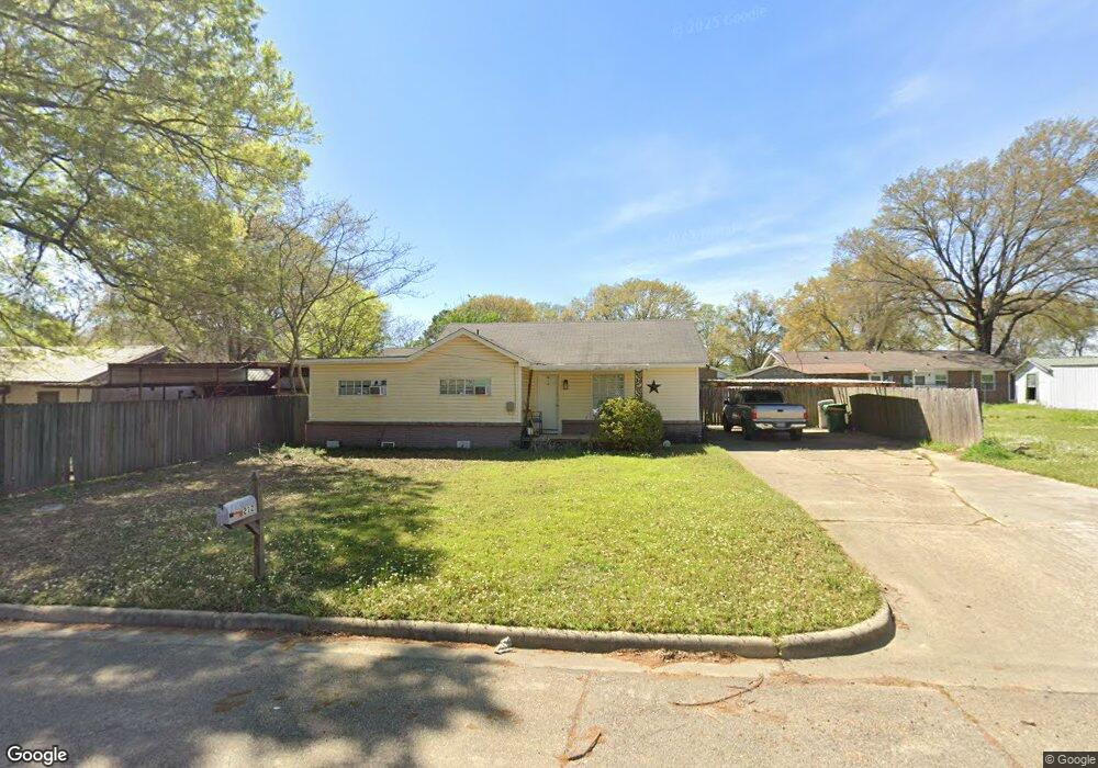
212 S Kenwood Rd Texarkana, TX 75501
Estimated Value: $122,000 - $139,000
3
Beds
2
Baths
1,200
Sq Ft
$107/Sq Ft
Est. Value
About This Home
This home is located at 212 S Kenwood Rd, Texarkana, TX 75501 and is currently estimated at $128,436, approximately $107 per square foot. 212 S Kenwood Rd is a home located in Bowie County with nearby schools including Westlawn Elementary School, Theron Jones Early Literacy Center, and Texas Middle School.
Ownership History
Date
Name
Owned For
Owner Type
Purchase Details
Closed on
Feb 1, 2023
Sold by
Killough Joseph P
Bought by
Smith Haley
Current Estimated Value
Purchase Details
Closed on
Nov 5, 2009
Sold by
Sandlin Christine Anderson and Sandlin Scott
Bought by
Brown Ii Gerald W
Home Financials for this Owner
Home Financials are based on the most recent Mortgage that was taken out on this home.
Original Mortgage
$50,000
Interest Rate
5.03%
Mortgage Type
Future Advance Clause Open End Mortgage
Create a Home Valuation Report for This Property
The Home Valuation Report is an in-depth analysis detailing your home's value as well as a comparison with similar homes in the area
Home Values in the Area
Average Home Value in this Area
Purchase History
| Date | Buyer | Sale Price | Title Company |
|---|---|---|---|
| Smith Haley | -- | Twin City Title | |
| Brown Ii Gerald W | -- | None Available |
Source: Public Records
Mortgage History
| Date | Status | Borrower | Loan Amount |
|---|---|---|---|
| Previous Owner | Brown Ii Gerald W | $50,000 |
Source: Public Records
Tax History Compared to Growth
Tax History
| Year | Tax Paid | Tax Assessment Tax Assessment Total Assessment is a certain percentage of the fair market value that is determined by local assessors to be the total taxable value of land and additions on the property. | Land | Improvement |
|---|---|---|---|---|
| 2025 | $1,044 | $125,553 | $10,000 | $115,553 |
| 2024 | $1,044 | $96,804 | $10,000 | $111,985 |
| 2023 | $2,084 | $88,004 | $0 | $0 |
| 2022 | $1,910 | $80,004 | $7,000 | $73,004 |
| 2021 | $1,886 | $73,753 | $7,000 | $66,753 |
| 2020 | $1,822 | $70,858 | $7,000 | $63,858 |
| 2019 | $1,817 | $68,102 | $7,000 | $61,102 |
| 2018 | $1,788 | $67,036 | $7,000 | $60,036 |
| 2017 | $1,755 | $65,969 | $7,000 | $58,969 |
| 2016 | $1,713 | $64,408 | $7,000 | $57,408 |
| 2015 | $1,272 | $50,589 | $7,000 | $43,589 |
| 2014 | $1,272 | $49,174 | $7,000 | $42,174 |
Source: Public Records
Map
Nearby Homes
- 202 S Kenwood Rd
- 3303 New Boston Rd
- 0 Meadowbrook Ln
- 203 Madison Dr
- 1703 Liddell St
- TBD N Kenwood Rd
- 500 Wade Ln
- 2211 N Akin Ave
- 0 Belt Rd Unit 118684
- 2901 Marion St
- 210 Cheyenne Place
- 2918 Sunset Rd
- 207 Wildwood Dr
- 322 Brookwood Dr
- 4035 New Boston Rd
- 108 Wildwood Dr
- 2704 Charlotte St
- 3508 N Robison Rd
- 810 Hawkins Ave
- 826 Redwater Rd
- 302 S Kenwood Rd
- 301 S Kenwood Rd
- 108 S Kenwood Rd
- 305 S Kenwood Rd
- 305 S Kenwood Rd
- 306 S Kenwood Rd
- 307 S Kenwood Rd
- 110 Akins Rd
- 312 S Kenwood Rd
- 309 S Kenwood Rd
- 112 Akins Rd
- 118 Akins Rd
- 3505 New Boston Rd
- 311 S Kenwood Rd
- 3411 New Boston Rd
- 3509 New Boston Rd
- 120 Akins Rd
- 3420 New Boston Rd
- 3407 New Boston Rd
- 315 S Kenwood Rd