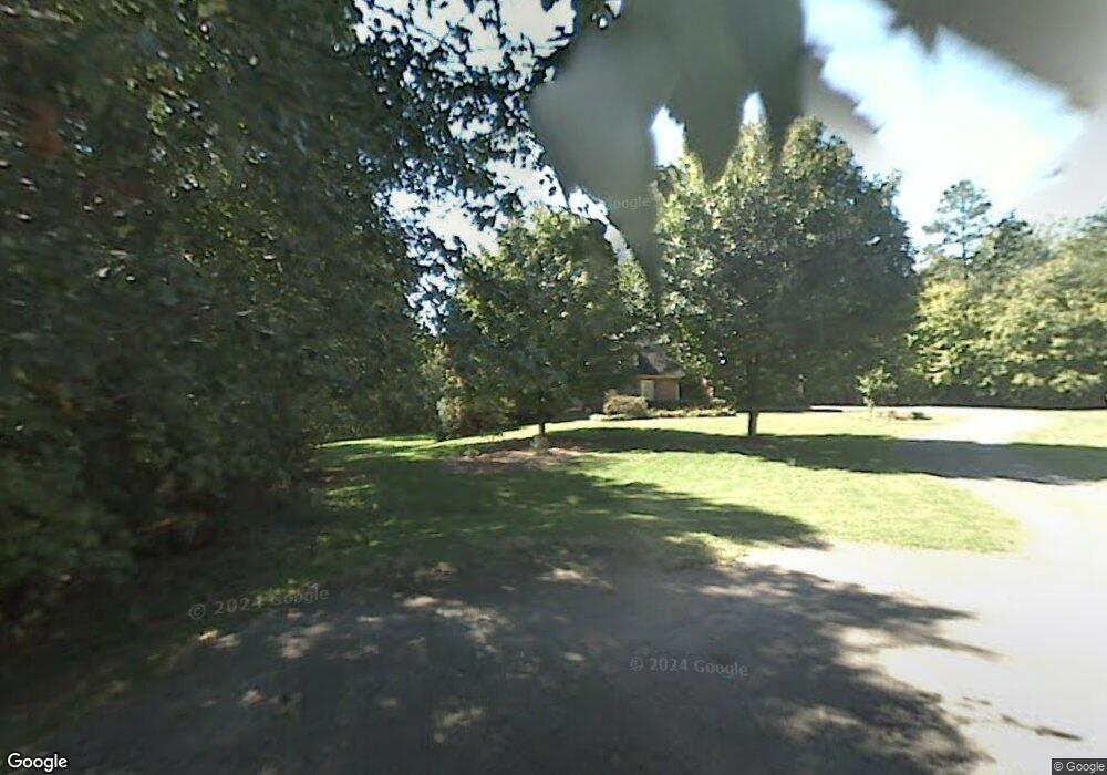
212 Stone Dr Pilot Mountain, NC 27041
Estimated Value: $428,000 - $535,000
3
Beds
3
Baths
3,782
Sq Ft
$127/Sq Ft
Est. Value
About This Home
This home is located at 212 Stone Dr, Pilot Mountain, NC 27041 and is currently estimated at $481,968, approximately $127 per square foot. 212 Stone Dr is a home located in Surry County with nearby schools including Pilot Mountain Elementary School, Pilot Mountain Middle School, and East Surry High School.
Ownership History
Date
Name
Owned For
Owner Type
Purchase Details
Closed on
Apr 2, 2018
Sold by
Cox-Frans Charlotte
Bought by
Davis Bradley and Davis Marry
Current Estimated Value
Home Financials for this Owner
Home Financials are based on the most recent Mortgage that was taken out on this home.
Original Mortgage
$330,000
Outstanding Balance
$285,538
Interest Rate
4.8%
Mortgage Type
Adjustable Rate Mortgage/ARM
Estimated Equity
$196,430
Create a Home Valuation Report for This Property
The Home Valuation Report is an in-depth analysis detailing your home's value as well as a comparison with similar homes in the area
Purchase History
| Date | Buyer | Sale Price | Title Company |
|---|---|---|---|
| Davis Bradley | $330,000 | -- |
Source: Public Records
Mortgage History
| Date | Status | Borrower | Loan Amount |
|---|---|---|---|
| Open | Davis Bradley | $330,000 |
Source: Public Records
Tax History
| Year | Tax Paid | Tax Assessment Tax Assessment Total Assessment is a certain percentage of the fair market value that is determined by local assessors to be the total taxable value of land and additions on the property. | Land | Improvement |
|---|---|---|---|---|
| 2025 | $2,464 | $441,650 | $28,600 | $413,050 |
| 2024 | $2,203 | $365,530 | $28,600 | $336,930 |
| 2023 | $2,163 | $365,530 | $28,600 | $336,930 |
| 2022 | $2,163 | $365,530 | $28,600 | $336,930 |
| 2021 | $2,203 | $365,530 | $28,600 | $336,930 |
| 2020 | $2,271 | $357,870 | $28,600 | $329,270 |
| 2019 | $2,268 | $357,870 | $28,600 | $329,270 |
| 2018 | $2,226 | $357,870 | $0 | $0 |
| 2017 | $2,295 | $362,770 | $0 | $0 |
| 2016 | $2,295 | $362,770 | $0 | $0 |
| 2013 | -- | $362,770 | $0 | $0 |
Source: Public Records
Map
Nearby Homes
- TBD Golf Course Rd
- 536 Black Mountain Rd
- 0 S Key St
- 226 Lola Ln Unit 103
- 0 Heatherly Creek Dr
- 00 Whitaker Chapel Rd Unit 2
- 00 Whitaker Chapel Rd Unit 1
- 00 Whitaker Chapel Rd Unit 10
- 765 Golf Course Rd
- 00 Golf Course Rd
- 216 Downy Brook Ln
- 0 N Carolina 268
- 713 Old Barn Cir
- 267 S Boyles St
- 710 Saddle Dr
- 0 Pine Ridge Trail
- 950 Dodson Mill Rd
- 827 Dodson Mill Rd
- 1626 Black Mountain Rd
- 528 E Main St
- 00 Stone Dr
- 198 Stone Dr
- 2.84 Acres Stone Dr
- 211 Stone Dr
- 195 Stone Dr
- 176 Stone Dr
- 163 Mountain Loop Rd
- 283 Mountain Loop Rd
- 177 Stone Dr
- 225 Mountain Loop Rd
- 162 Stone Dr
- 155 Stone Dr
- 142 Stone Dr
- 139 Stone Dr
- 194 Mountain Loop Rd
- 280 Club House Dr
- 0 Mountain Loop Rd
- 394 Black Mountain Rd
- 296 Club House Dr
- 200 Club House Dr
Your Personal Tour Guide
Ask me questions while you tour the home.