212 Summit Dr Bellefontaine, OH 43311
Estimated Value: $191,984 - $250,000
3
Beds
2
Baths
1,768
Sq Ft
$127/Sq Ft
Est. Value
About This Home
This home is located at 212 Summit Dr, Bellefontaine, OH 43311 and is currently estimated at $224,496, approximately $126 per square foot. 212 Summit Dr is a home located in Logan County with nearby schools including Bellefontaine Elementary School, Bellefontaine Intermediate School, and Bellefontaine Middle School.
Ownership History
Date
Name
Owned For
Owner Type
Purchase Details
Closed on
May 5, 2022
Sold by
Baker Irrevocable Heritage Trust
Bought by
Dyer Elizabeth and Dyer Heath
Current Estimated Value
Home Financials for this Owner
Home Financials are based on the most recent Mortgage that was taken out on this home.
Original Mortgage
$100,000
Interest Rate
7.44%
Mortgage Type
Construction
Purchase Details
Closed on
Nov 17, 2010
Bought by
Ronald L Baker
Purchase Details
Closed on
Jun 25, 2010
Bought by
Self Help Ventures Fund
Purchase Details
Closed on
Jan 20, 2006
Bought by
Horner Roy E
Purchase Details
Closed on
Apr 24, 1997
Bought by
Richards Dick E
Create a Home Valuation Report for This Property
The Home Valuation Report is an in-depth analysis detailing your home's value as well as a comparison with similar homes in the area
Home Values in the Area
Average Home Value in this Area
Purchase History
| Date | Buyer | Sale Price | Title Company |
|---|---|---|---|
| Dyer Elizabeth | $120,000 | Mad River Title | |
| Dyer Elizabeth | $120,000 | Mad River Title | |
| Ronald L Baker | $83,300 | -- | |
| Self Help Ventures Fund | $83,000 | -- | |
| Horner Roy E | $121,000 | -- | |
| Richards Dick E | -- | -- |
Source: Public Records
Mortgage History
| Date | Status | Borrower | Loan Amount |
|---|---|---|---|
| Previous Owner | Dyer Elizabeth | $100,000 |
Source: Public Records
Tax History Compared to Growth
Tax History
| Year | Tax Paid | Tax Assessment Tax Assessment Total Assessment is a certain percentage of the fair market value that is determined by local assessors to be the total taxable value of land and additions on the property. | Land | Improvement |
|---|---|---|---|---|
| 2024 | $2,338 | $58,040 | $14,110 | $43,930 |
| 2023 | $2,338 | $58,040 | $14,110 | $43,930 |
| 2022 | $2,501 | $46,440 | $11,290 | $35,150 |
| 2021 | $2,111 | $46,440 | $11,290 | $35,150 |
| 2020 | $2,112 | $37,770 | $8,590 | $29,180 |
| 2019 | $2,158 | $37,770 | $8,590 | $29,180 |
| 2018 | $1,488 | $37,770 | $8,590 | $29,180 |
| 2016 | $1,422 | $34,340 | $7,810 | $26,530 |
| 2014 | $1,146 | $34,340 | $7,810 | $26,530 |
| 2013 | $1,146 | $34,340 | $7,810 | $26,530 |
| 2012 | $1,099 | $42,530 | $6,790 | $35,740 |
Source: Public Records
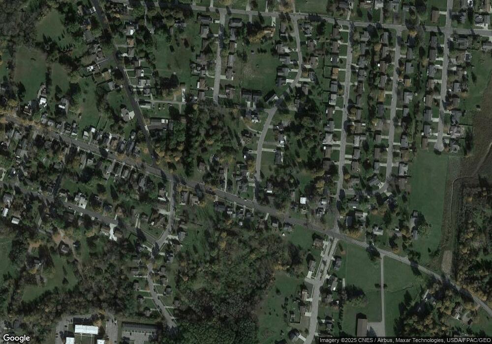
Map
Nearby Homes
- 912 Eastern Ave
- 113 Pleasant Dr
- 104 Organ St
- 505 Highview Dr
- 101 S Heather Hill Dr
- 1209 Firethorn Dr
- 107 Willows End
- 0 Ashbrook Dr
- 549 E Chillicothe Ave
- 544 Cooper Ave
- 1312 Glenview Cir
- 1413 Pinewood Ct
- 500 E Chillicothe Ave
- 313 Ludlow Rd
- 1700 Kash Ave
- Somerset Plan at Maris Park
- Daisy Plan at Maris Park
- Cloverly C Plan at Maris Park
- Abington Plan at Maris Park
- Cloverly B Plan at Maris Park
- 216 Summit Dr
- 208 Summit Dr
- 821 Eastern Ave
- 219 Summit Dr
- 204 Summit Dr
- 223 Summit Dr
- 830 Eastern Ave
- 813 Eastern Ave
- 834 Eastern Ave
- 209 Summit Dr
- 838 Eastern Ave
- 205 Summit Dr
- 816 Eastern Ave
- 200 Summit Dr
- 0 Woodview Dr Unit 332601
- 0 Woodview Dr Unit 332603
- 0 Woodview Dr
- 0 Woodview Dr
- 840 Eastern Ave
- 909 Eastern Ave