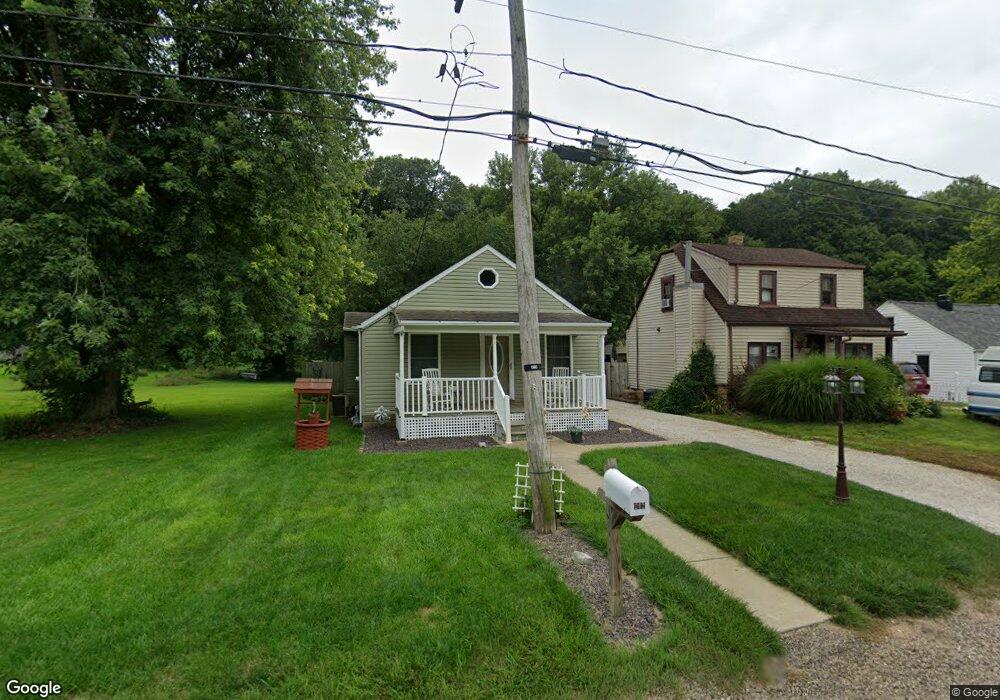
212 Terminal St East Peoria, IL 61611
Estimated Value: $101,000 - $128,000
3
Beds
1
Bath
768
Sq Ft
$149/Sq Ft
Est. Value
About This Home
This home is located at 212 Terminal St, East Peoria, IL 61611 and is currently estimated at $114,122, approximately $148 per square foot. 212 Terminal St is a home located in Tazewell County with nearby schools including Woodrow Wilson Elementary School, Glendale Elementary School, and Central Junior High School.
Ownership History
Date
Name
Owned For
Owner Type
Purchase Details
Closed on
Jun 12, 2019
Sold by
Goldsmith Lisa M
Bought by
Taapken Linda
Current Estimated Value
Purchase Details
Closed on
Jul 9, 2012
Sold by
Dahmm Mark S and Dahmm Rhonda L
Bought by
Taapken Linda
Home Financials for this Owner
Home Financials are based on the most recent Mortgage that was taken out on this home.
Original Mortgage
$70,000
Interest Rate
3.77%
Mortgage Type
New Conventional
Purchase Details
Closed on
Dec 3, 2009
Sold by
Pnc Bank National Association
Bought by
Dahmm Mark S and Dahmm Rhonda L
Purchase Details
Closed on
Aug 5, 2008
Sold by
Hud
Bought by
National City Mortgage Co and First Of America Loan Services Inc
Purchase Details
Closed on
Feb 28, 2008
Sold by
Gregory Michael D and Gregory Cheryl K
Bought by
Hud
Create a Home Valuation Report for This Property
The Home Valuation Report is an in-depth analysis detailing your home's value as well as a comparison with similar homes in the area
Home Values in the Area
Average Home Value in this Area
Purchase History
| Date | Buyer | Sale Price | Title Company |
|---|---|---|---|
| Taapken Linda | $1,000 | None Available | |
| Taapken Linda | $87,500 | Jbn Title | |
| Dahmm Mark S | $18,000 | Central Illinois Title | |
| National City Mortgage Co | -- | None Available | |
| Hud | $30,841 | None Available |
Source: Public Records
Mortgage History
| Date | Status | Borrower | Loan Amount |
|---|---|---|---|
| Previous Owner | Taapken Linda | $70,000 |
Source: Public Records
Tax History Compared to Growth
Tax History
| Year | Tax Paid | Tax Assessment Tax Assessment Total Assessment is a certain percentage of the fair market value that is determined by local assessors to be the total taxable value of land and additions on the property. | Land | Improvement |
|---|---|---|---|---|
| 2024 | $1,359 | $29,660 | $4,550 | $25,110 |
| 2023 | $1,359 | $28,480 | $5,430 | $23,050 |
| 2022 | $1,615 | $26,340 | $5,020 | $21,320 |
| 2021 | $1,534 | $25,330 | $4,830 | $20,500 |
| 2020 | $1,492 | $25,330 | $4,830 | $20,500 |
| 2019 | $1,320 | $23,210 | $2,930 | $20,280 |
Source: Public Records
Map
Nearby Homes
- 717 Bloomington Rd
- 223 Kerfoot St
- 1513 Bloomington Rd
- 615 Meadow Ave
- 1004 Springfield Rd
- 1203 Springfield Rd
- 123 Terrace Ln
- Lot 7 Sundance Ln
- 1406 Springfield Rd
- 322 Schulzki Ln
- 106 Field Grove Rd
- 210 Stewart St
- 950 N Main St
- 1738 Meadow Ave
- 125 Canterbury Ct
- 125 W Eden St
- 315 Pekin Ave
- 515 Briarbrook Dr
- 114 Raynor St
- 104 N Inglewood Dr
- 210 Terminal St
- 216 Terminal St
- 206 Terminal St
- 204 Terminal St
- 218 Terminal St
- 202 Terminal St
- 304 Terminal St
- 205 Fahey Hollow Rd
- 312 Terminal St
- 314 Terminal St
- 100 Terminal St
- 316 Terminal St
- 108 Terminal St
- 307 Fahey Hollow Rd
- 318 Terminal St
- 301 Fahey Hollow Rd
- 211 Fahey Hollow Rd
- 313 Fahey Hollow Rd
- 203 Fahey Hollow Rd
- 309 Fahey Hollow Rd