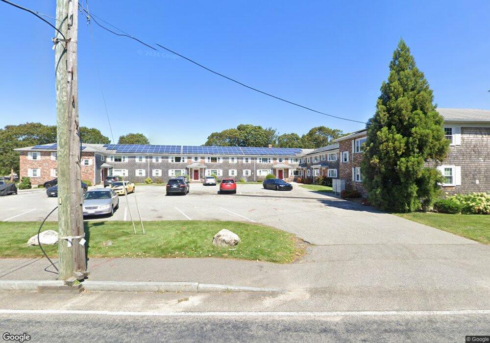
212 Upper County Rd Unit 4A Dennis Port, MA 02639
Dennis Port NeighborhoodEstimated Value: $259,667 - $387,000
2
Beds
1
Bath
650
Sq Ft
$452/Sq Ft
Est. Value
About This Home
This home is located at 212 Upper County Rd Unit 4A, Dennis Port, MA 02639 and is currently estimated at $293,667, approximately $451 per square foot. 212 Upper County Rd Unit 4A is a home located in Barnstable County with nearby schools including Dennis-Yarmouth Regional High School and St. Pius X. School.
Ownership History
Date
Name
Owned For
Owner Type
Purchase Details
Closed on
Jun 12, 2001
Sold by
Lacroix Joseph R and Lacroix Lois L
Bought by
Perry Leslie
Current Estimated Value
Home Financials for this Owner
Home Financials are based on the most recent Mortgage that was taken out on this home.
Original Mortgage
$69,672
Interest Rate
7.08%
Mortgage Type
Purchase Money Mortgage
Create a Home Valuation Report for This Property
The Home Valuation Report is an in-depth analysis detailing your home's value as well as a comparison with similar homes in the area
Home Values in the Area
Average Home Value in this Area
Purchase History
| Date | Buyer | Sale Price | Title Company |
|---|---|---|---|
| Perry Leslie | $77,500 | -- |
Source: Public Records
Mortgage History
| Date | Status | Borrower | Loan Amount |
|---|---|---|---|
| Open | Perry Leslie | $15,000 | |
| Open | Perry Leslie | $69,000 | |
| Closed | Perry Leslie | $69,672 | |
| Closed | Perry Leslie | $5,000 |
Source: Public Records
Tax History Compared to Growth
Tax History
| Year | Tax Paid | Tax Assessment Tax Assessment Total Assessment is a certain percentage of the fair market value that is determined by local assessors to be the total taxable value of land and additions on the property. | Land | Improvement |
|---|---|---|---|---|
| 2025 | $848 | $195,900 | $0 | $195,900 |
| 2024 | $823 | $187,400 | $0 | $187,400 |
| 2023 | $725 | $155,300 | $0 | $155,300 |
| 2022 | $702 | $125,300 | $0 | $125,300 |
| 2021 | $706 | $117,100 | $0 | $117,100 |
| 2020 | $694 | $113,700 | $0 | $113,700 |
| 2019 | $445 | $72,200 | $0 | $72,200 |
| 2018 | $437 | $69,000 | $0 | $69,000 |
| 2017 | $424 | $69,000 | $0 | $69,000 |
| 2016 | $430 | $65,900 | $0 | $65,900 |
| 2015 | $422 | $65,900 | $0 | $65,900 |
| 2014 | $418 | $65,900 | $0 | $65,900 |
Source: Public Records
Map
Nearby Homes
- 47 Telegraph Rd Unit 1
- 9 Country Ln
- 12 Candlewood Ln Unit 2-9
- 12 Candlewood Ln Unit 1-6
- 10 Candlewood Ln Unit 2-1
- 141 Division St
- 141 Division St
- 45 Route 28
- 78 Upper County Rd Unit A&B
- 78 Upper County Rd
- 104 Toms Path
- 11 Lane Rd
- 104 Toms Path
- 24 Indian Trail
- 9 Bells Neck Rd Unit 10
- 268 Main St
- 9 Mansion St
- 6 Bayberry Ln
- 64 Smith St
- 126 Massachusetts 28
- 212 Upper County Rd Unit 1B
- 212 Upper County Rd Unit 9A
- 212 Upper County Rd Unit 8B
- 212 Upper County Rd Unit 11B
- 212 Upper County Rd Unit 10B
- 212 Upper County Rd Unit 12A
- 212 Upper County Rd Unit U-2B
- 212 Upper County Rd Unit 4B
- 212 Upper County Rd Unit A-5
- 212 Upper County Rd Unit 5B
- 212 Upper County Rd Unit 12B
- 212 Upper County Rd Unit 10A
- 212 Upper County Rd Unit 2B
- 212 Upper County Rd Unit 3B
- 212 Upper County Rd Unit 13B
- 212 Upper County Rd Unit 8A
- 212 Upper County Rd Unit 11A
- 212 Upper County Rd Unit 13A
- 212 Upper County Rd
- 212 Upper County Rd Unit 1A