212 Vincent Dr Honey Brook, PA 19344
Estimated Value: $574,421 - $642,000
4
Beds
3
Baths
2,342
Sq Ft
$260/Sq Ft
Est. Value
About This Home
This home is located at 212 Vincent Dr, Honey Brook, PA 19344 and is currently estimated at $609,605, approximately $260 per square foot. 212 Vincent Dr is a home located in Chester County with nearby schools including Honey Brook Elementary Center, Twin Valley Middle School, and Twin Valley High School.
Ownership History
Date
Name
Owned For
Owner Type
Purchase Details
Closed on
Dec 6, 2007
Sold by
Delso David B and Delso Traci
Bought by
Mauser Thomas E
Current Estimated Value
Home Financials for this Owner
Home Financials are based on the most recent Mortgage that was taken out on this home.
Original Mortgage
$279,200
Outstanding Balance
$177,361
Interest Rate
6.37%
Mortgage Type
Purchase Money Mortgage
Estimated Equity
$432,244
Purchase Details
Closed on
Apr 26, 2006
Sold by
Grove P Richard and P Richard Grove Revocable Trus
Bought by
Delso David B and Delso Traci
Home Financials for this Owner
Home Financials are based on the most recent Mortgage that was taken out on this home.
Original Mortgage
$284,000
Interest Rate
7.12%
Mortgage Type
Purchase Money Mortgage
Purchase Details
Closed on
Jun 6, 2005
Sold by
Grove P Richard and Grove Nancy L
Bought by
Grove P Richard and Grove Nancy L
Create a Home Valuation Report for This Property
The Home Valuation Report is an in-depth analysis detailing your home's value as well as a comparison with similar homes in the area
Home Values in the Area
Average Home Value in this Area
Purchase History
| Date | Buyer | Sale Price | Title Company |
|---|---|---|---|
| Mauser Thomas E | $349,000 | Penntitle Inc Western Group | |
| Delso David B | $355,000 | None Available | |
| Grove P Richard | -- | -- |
Source: Public Records
Mortgage History
| Date | Status | Borrower | Loan Amount |
|---|---|---|---|
| Open | Mauser Thomas E | $279,200 | |
| Previous Owner | Delso David B | $284,000 |
Source: Public Records
Tax History Compared to Growth
Tax History
| Year | Tax Paid | Tax Assessment Tax Assessment Total Assessment is a certain percentage of the fair market value that is determined by local assessors to be the total taxable value of land and additions on the property. | Land | Improvement |
|---|---|---|---|---|
| 2025 | $7,956 | $207,210 | $53,360 | $153,850 |
| 2024 | $7,956 | $207,210 | $53,360 | $153,850 |
| 2023 | $7,774 | $207,210 | $53,360 | $153,850 |
| 2022 | $7,689 | $207,210 | $53,360 | $153,850 |
| 2021 | $7,464 | $207,210 | $53,360 | $153,850 |
| 2020 | $7,427 | $207,210 | $53,360 | $153,850 |
| 2019 | $7,205 | $207,210 | $53,360 | $153,850 |
| 2018 | $7,205 | $207,210 | $53,360 | $153,850 |
| 2017 | $7,036 | $207,210 | $53,360 | $153,850 |
| 2016 | $5,662 | $207,210 | $53,360 | $153,850 |
| 2015 | $5,662 | $207,210 | $53,360 | $153,850 |
| 2014 | $5,662 | $207,210 | $53,360 | $153,850 |
Source: Public Records
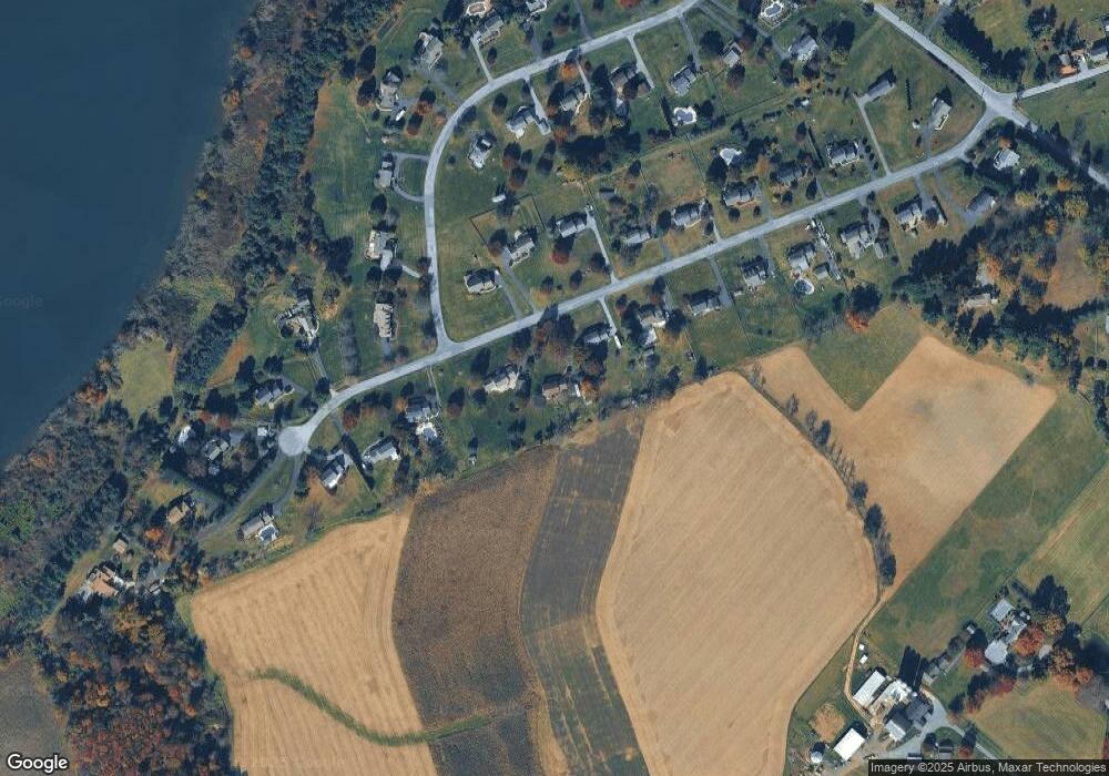
Map
Nearby Homes
- 1250 Chestnut Tree Rd
- 10 Woods Rd
- 155 Wyebrook Rd
- 1 Senn Ln
- 40 Cupola Rd
- 929 N Manor Rd
- 843 N Manor Rd
- 683 N Manor Rd
- 194 Joyce Ln
- 98 Erica Cir
- 241 Dove Dr
- 110 Petrelia Dr
- 407 Cahill Cir Unit 4
- 0 Heritage Dr Unit 4A PABK2058798
- 24 Wexford Ct
- 44 Wexford Ct
- 619 Homestead Dr
- 102 Country Ln
- 1520 Lexington Way
- 130 Pumpkin Hill Rd
- 222 Vincent Dr
- 190 Vincent Dr
- 172 Vincent Dr
- 258 Vincent Dr
- 217 Vincent Dr
- 209 Vincent Dr
- 183 Vincent Dr
- 138 Vincent Dr
- 272 Vincent Dr
- 255 Vincent Dr
- 157 Vincent Dr
- 128 Vincent Dr
- 293 Shore Line Dr
- 139 Vincent Dr
- 284 Vincent Dr
- 244 Shore Line Dr
- 210 Shore Line Dr
- 275 Vincent Dr
- 131 Vincent Dr
- 122 Vincent Dr