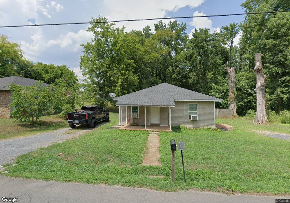
212 W Ezzard Ave Dalton, GA 30720
Estimated Value: $156,855 - $247,000
Studio
1
Bath
1,200
Sq Ft
$158/Sq Ft
Est. Value
About This Home
This home is located at 212 W Ezzard Ave, Dalton, GA 30720 and is currently estimated at $189,214, approximately $157 per square foot. 212 W Ezzard Ave is a home located in Whitfield County with nearby schools including Dug Gap Elementary School, Valley Point Middle School, and Southeast Whitfield County High School.
Ownership History
Date
Name
Owned For
Owner Type
Purchase Details
Closed on
Aug 30, 2013
Sold by
Glassratner Management & R
Bought by
Hernandez Beatriz L
Current Estimated Value
Purchase Details
Closed on
Dec 20, 2007
Sold by
Not Provided
Bought by
Babb Properties Llc
Purchase Details
Closed on
Mar 5, 2003
Sold by
Bramlett Lane Through Regions Bank
Bought by
Babb Donald Q
Purchase Details
Closed on
Nov 30, 2000
Sold by
Babb Donald Q
Bought by
Bramlett Lane
Purchase Details
Closed on
Jun 1, 1998
Bought by
Babb Donald Q
Create a Home Valuation Report for This Property
The Home Valuation Report is an in-depth analysis detailing your home's value as well as a comparison with similar homes in the area
Purchase History
We collect this data history from publicly available records. To have your information removed, we recommend requesting removal directly through your county’s website.
| Date | Buyer | Sale Price | Title Company |
|---|---|---|---|
| Hernandez Beatriz L | $17,000 | -- | |
| Babb Properties Llc | -- | -- | |
| Babb Donald Q | -- | -- | |
| Bramlett Lane | $70,000 | -- | |
| Babb Donald Q | $20,000 | -- |
Source: Public Records
Tax History
| Year | Tax Paid | Tax Assessment Tax Assessment Total Assessment is a certain percentage of the fair market value that is determined by local assessors to be the total taxable value of land and additions on the property. | Land | Improvement |
|---|---|---|---|---|
| 2025 | $1,476 | $61,613 | $9,600 | $52,013 |
| 2024 | $1,476 | $61,613 | $9,600 | $52,013 |
| 2023 | $1,252 | $41,656 | $6,400 | $35,256 |
| 2022 | $786 | $26,634 | $3,120 | $23,514 |
| 2021 | $786 | $26,634 | $3,120 | $23,514 |
| 2020 | $813 | $26,634 | $3,120 | $23,514 |
| 2019 | $826 | $26,634 | $3,120 | $23,514 |
| 2018 | $839 | $26,634 | $3,120 | $23,514 |
| 2017 | $840 | $26,634 | $3,120 | $23,514 |
| 2016 | $699 | $23,066 | $1,680 | $21,386 |
| 2014 | $183 | $6,305 | $1,680 | $21,386 |
| 2013 | -- | $23,066 | $1,680 | $21,386 |
Source: Public Records
Map
Nearby Homes
- 1802 Malone Dr
- 440 Florence Ave
- 1709 Needham Dr
- 450 Florence Ave
- 1632 Rio Vista Dr
- 1409 Red Hill Dr
- 1508 Braiden Rd
- 111 Levi Dr
- 498 Cedar St
- 400 Alex Dr
- 1541 Threadmill Rd
- 124 Levi Dr
- 1109 Brookwood Ln
- 1600 Elaine Way
- 1230 W Lakeshore Dr W
- 1107 Brookwood Ln Unit 29
- 1104 Linden Dr
- 1104 W Lakeshore Dr
- 3016 E Brookhaven Cir
- 1900 Mountain Brook Dr
- 304 W Ezzard Ave
- 300 W Ezzard Ave
- 304 Sparks Ln
- 306 W Ezzard Ave
- 306 Sparks Ln
- 1800 Quillian Ave
- 308 W Ezzard Ave
- 308 Sparks Ln
- 1802 Quillian Ave
- 310 W Ezzard Ave
- 1799 Quillian Ave
- 310 Sparks Ln
- 307 W Ezzard Ave
- 312 W Ezzard Ave
- 312 Sparks Ln
- 1801 Quillian Ave
- 307 Sparks Ln
- 314 W Ezzard Ave
- 314 Sparks Ln
- 309 Sparks Ln
Your Personal Tour Guide
Ask me questions while you tour the home.