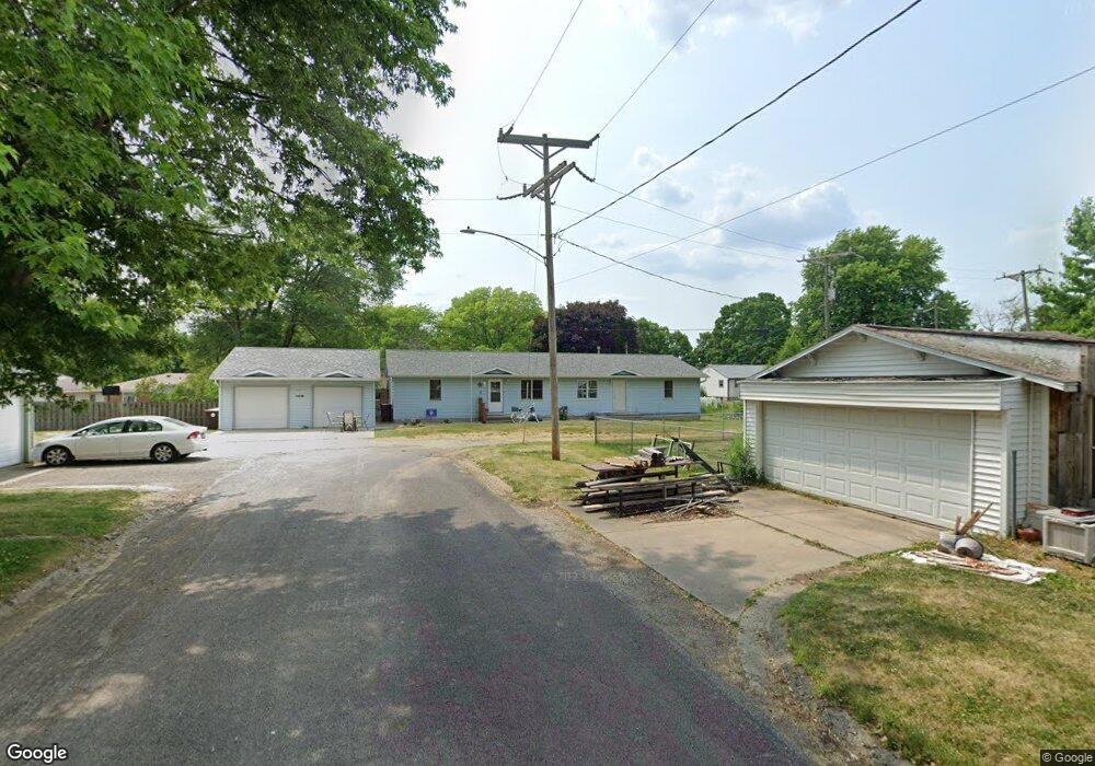
212 W Fifth St MacKinaw, IL 61755
Estimated Value: $187,331 - $208,000
4
Beds
2
Baths
1,904
Sq Ft
$103/Sq Ft
Est. Value
About This Home
This home is located at 212 W Fifth St, MacKinaw, IL 61755 and is currently estimated at $196,083, approximately $102 per square foot. 212 W Fifth St is a home located in Tazewell County with nearby schools including Dee-Mack Primary/Junior High School, Dee-Mack Intermediate School, and Dee-Mack High School.
Ownership History
Date
Name
Owned For
Owner Type
Purchase Details
Closed on
Oct 2, 2009
Sold by
Embry William J
Bought by
Henderson Weir Agency Inc
Current Estimated Value
Home Financials for this Owner
Home Financials are based on the most recent Mortgage that was taken out on this home.
Original Mortgage
$200,000
Interest Rate
5.15%
Mortgage Type
Future Advance Clause Open End Mortgage
Create a Home Valuation Report for This Property
The Home Valuation Report is an in-depth analysis detailing your home's value as well as a comparison with similar homes in the area
Home Values in the Area
Average Home Value in this Area
Purchase History
| Date | Buyer | Sale Price | Title Company |
|---|---|---|---|
| Henderson Weir Agency Inc | -- | None Available | |
| Embry William J | -- | None Available |
Source: Public Records
Mortgage History
| Date | Status | Borrower | Loan Amount |
|---|---|---|---|
| Closed | Henderson Weir Agency Inc | $200,000 |
Source: Public Records
Tax History Compared to Growth
Tax History
| Year | Tax Paid | Tax Assessment Tax Assessment Total Assessment is a certain percentage of the fair market value that is determined by local assessors to be the total taxable value of land and additions on the property. | Land | Improvement |
|---|---|---|---|---|
| 2024 | $3,700 | $48,910 | $6,820 | $42,090 |
| 2023 | $3,700 | $44,990 | $6,270 | $38,720 |
| 2022 | $3,492 | $41,460 | $5,780 | $35,680 |
| 2021 | $3,389 | $39,870 | $5,560 | $34,310 |
| 2020 | $3,322 | $38,710 | $5,400 | $33,310 |
| 2019 | $3,333 | $38,710 | $5,400 | $33,310 |
| 2018 | $3,300 | $38,710 | $5,400 | $33,310 |
| 2017 | $3,251 | $38,330 | $5,350 | $32,980 |
| 2016 | $3,223 | $38,330 | $5,350 | $32,980 |
| 2015 | $3,747 | $0 | $0 | $0 |
| 2013 | $3,489 | $45,520 | $5,200 | $40,320 |
Source: Public Records
Map
Nearby Homes
- 103 S Monroe St
- 111 W Fast Ave
- 0 Illinois 9
- 204 Tulip Dr
- 988 Heritage Dr
- 29724 Allentown Rd
- 10 Summit Dr
- 801 Heritage Dr
- 6 Raleigh Ave
- 29875 White Oak Dr
- 11283 Illinois 9
- 30403 Hancock Rd
- 16555 Mclean Rd
- 18196 River Rd
- 118 Bryant St
- 1209 Whippoorwill Dr
- 1263 Wheatfield Dr
- 101 N Oregon Ave
- 1156 Brentwood Rd
- 324 S Kansas Ave
- 209 S Tazewell Ave
- 207 S Tazewell Ave
- 305 S Tazewell Ave
- 300 S Monroe St
- 200 John Ln
- 307 S Tazewell St
- 208 S Monroe St
- 307 S Tazewell Ave
- 302 S Monroe St
- 205 S Tazewell Ave
- 206 S Monroe St
- 203 S Tazewell Ave
- 304 S Monroe St
- 203 S Tazewell St
- 204 S Monroe St
- 201 John Ln
- 208 S Tazewell Ave
- 206 S Tazewell St
- 306 S Monroe St
- 309 S Tazewell Ave