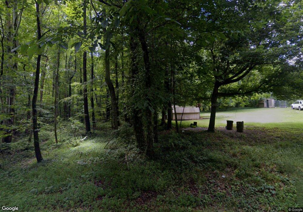
212 W Highway 619 Russell Springs, KY 42642
Estimated Value: $148,000 - $209,000
3
Beds
2
Baths
1,536
Sq Ft
$119/Sq Ft
Est. Value
About This Home
This home is located at 212 W Highway 619, Russell Springs, KY 42642 and is currently estimated at $183,497, approximately $119 per square foot. 212 W Highway 619 is a home with nearby schools including Russell County High School.
Ownership History
Date
Name
Owned For
Owner Type
Purchase Details
Closed on
Aug 9, 2022
Sold by
Bradshaw and Rebecca
Bought by
Wright Waylon and Wright Melinda
Current Estimated Value
Purchase Details
Closed on
May 16, 2022
Sold by
Russell Circuit Court
Bought by
Russell County
Purchase Details
Closed on
Apr 16, 2010
Sold by
Barnes Wilbur and Barnes Margie
Bought by
Barnes Brian and Barnes Erin
Home Financials for this Owner
Home Financials are based on the most recent Mortgage that was taken out on this home.
Original Mortgage
$225,000
Interest Rate
5.75%
Mortgage Type
Adjustable Rate Mortgage/ARM
Purchase Details
Closed on
Sep 21, 2009
Sold by
Sutton Funding Llc
Bought by
Barnes Brian and Barnes Erin
Home Financials for this Owner
Home Financials are based on the most recent Mortgage that was taken out on this home.
Original Mortgage
$37,500
Interest Rate
5.22%
Mortgage Type
Purchase Money Mortgage
Create a Home Valuation Report for This Property
The Home Valuation Report is an in-depth analysis detailing your home's value as well as a comparison with similar homes in the area
Home Values in the Area
Average Home Value in this Area
Purchase History
| Date | Buyer | Sale Price | Title Company |
|---|---|---|---|
| Wright Waylon | $14,000 | -- | |
| Wright Waylon | $14,000 | None Listed On Document | |
| Russell County | $178,000 | None Listed On Document | |
| Barnes Brian | $250,000 | None Available | |
| Barnes Brian | $34,500 | None Available |
Source: Public Records
Mortgage History
| Date | Status | Borrower | Loan Amount |
|---|---|---|---|
| Previous Owner | Barnes Brian | $225,000 | |
| Previous Owner | Barnes Brian | $37,500 |
Source: Public Records
Tax History Compared to Growth
Tax History
| Year | Tax Paid | Tax Assessment Tax Assessment Total Assessment is a certain percentage of the fair market value that is determined by local assessors to be the total taxable value of land and additions on the property. | Land | Improvement |
|---|---|---|---|---|
| 2024 | $461 | $95,000 | $0 | $0 |
| 2023 | $471 | $95,000 | $0 | $0 |
| 2022 | $433 | $85,000 | $0 | $0 |
| 2021 | $443 | $85,000 | $0 | $0 |
| 2020 | $457 | $85,000 | $0 | $0 |
| 2019 | $456 | $85,000 | $0 | $0 |
| 2018 | $470 | $85,000 | $0 | $0 |
| 2017 | $468 | $85,000 | $0 | $0 |
| 2016 | $464 | $85,000 | $0 | $0 |
| 2015 | -- | $85,000 | $0 | $0 |
| 2013 | -- | $85,000 | $0 | $0 |
Source: Public Records
Map
Nearby Homes
- 2941 N Highway 379
- 243 Akers Rd
- 00 Kentucky 55
- 5410 Kentucky 92
- 4661 Kentucky 379
- 157 Hale Wilson Rd
- 529 Lakewood Dr
- 111 Leveridge Ct
- 2295 Kentucky 92
- 86 Peninsula
- 30 Leveridge Ct
- 0 Rambling Creek Rd
- 35 Leveridge Ct
- 300 Cape Rd
- 24 Dogwood Hollow Rd
- 40 Dogwood Hollow Rd
- 368 Jobi Falls Trail
- 0 County Line Rd
- 1660 Crocus Rd
- 100 Dixon Cemetery Rd
- 375 W Highway 619
- 6769 Highway 379
- 6909 Highway 379
- 6769 Highway 379
- 7003 Highway 379
- 6909 Highway 379
- 3631 Highway 379
- 6874 Highway 379
- 6702 Highway 379
- 3255 Warner Ridge Rd
- 2935 Warner Ridge Rd
- 3127 Warner Ridge Rd
- 459 S Highway 619
- 564 W Highway 619
- 6664 Highway 379
- 1930 Warner Ridge Rd
- 760 W Highway 619
- 789 W Highway 619
- 1715 Garr Ridge Rd
- 2082 Garr Ridge Rd
