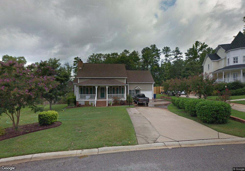
212 Walnut Ln Columbia, SC 29212
Northwest Columbia NeighborhoodEstimated Value: $402,000 - $454,000
4
Beds
5
Baths
3,406
Sq Ft
$125/Sq Ft
Est. Value
About This Home
This home is located at 212 Walnut Ln, Columbia, SC 29212 and is currently estimated at $426,212, approximately $125 per square foot. 212 Walnut Ln is a home located in Lexington County with nearby schools including Irmo Elementary School, Irmo Middle, and Irmo High.
Ownership History
Date
Name
Owned For
Owner Type
Purchase Details
Closed on
Dec 12, 2021
Sold by
Brock Joni Drolsbaugh and Brock Robert S
Bought by
Thigpen Paul D and Thigpen Faye Sims
Current Estimated Value
Home Financials for this Owner
Home Financials are based on the most recent Mortgage that was taken out on this home.
Original Mortgage
$135,000
Outstanding Balance
$105,639
Interest Rate
2.39%
Mortgage Type
New Conventional
Estimated Equity
$320,573
Purchase Details
Closed on
Jun 2, 2021
Sold by
Brock Joni A and Estate Of Sala Gaddy Arolsbaug
Bought by
Brock Joni Arelsbaugh
Purchase Details
Closed on
Sep 4, 2001
Sold by
Flynn Ronald E
Bought by
Drolsbaugh Sara G
Purchase Details
Closed on
Aug 30, 2001
Sold by
Gilmore Jennifer F
Bought by
Easterling Daniel S
Create a Home Valuation Report for This Property
The Home Valuation Report is an in-depth analysis detailing your home's value as well as a comparison with similar homes in the area
Home Values in the Area
Average Home Value in this Area
Purchase History
| Date | Buyer | Sale Price | Title Company |
|---|---|---|---|
| Thigpen Paul D | $335,000 | None Available | |
| Brock Joni Arelsbaugh | -- | None Available | |
| Drolsbaugh Sara G | $170,000 | -- | |
| Easterling Daniel S | $99,750 | -- |
Source: Public Records
Mortgage History
| Date | Status | Borrower | Loan Amount |
|---|---|---|---|
| Open | Thigpen Paul D | $135,000 |
Source: Public Records
Tax History Compared to Growth
Tax History
| Year | Tax Paid | Tax Assessment Tax Assessment Total Assessment is a certain percentage of the fair market value that is determined by local assessors to be the total taxable value of land and additions on the property. | Land | Improvement |
|---|---|---|---|---|
| 2024 | $2,008 | $13,400 | $2,200 | $11,200 |
| 2023 | $2,008 | $13,400 | $2,200 | $11,200 |
| 2022 | $8,634 | $13,400 | $2,200 | $11,200 |
| 2020 | $1,688 | $9,605 | $2,097 | $7,508 |
| 2019 | $1,480 | $8,351 | $1,800 | $6,551 |
| 2018 | $1,309 | $8,351 | $1,800 | $6,551 |
| 2017 | $1,249 | $8,351 | $1,800 | $6,551 |
| 2016 | $1,282 | $8,351 | $1,800 | $6,551 |
| 2014 | $1,236 | $9,211 | $1,800 | $7,411 |
| 2013 | -- | $9,210 | $1,800 | $7,410 |
Source: Public Records
Map
Nearby Homes
- 220 Walnut Ln
- 18 Crescent Ln
- 200 Weeping Cherry Ln
- 460 Harleston Rd
- 108 Aspen Ln
- 455 Harleston Rd
- 241 Friarsgate Blvd
- 98 Chadford Rd
- 151 Rocky Creek Trail
- 457 Kingshead Ct
- 345 Amstar Rd
- 419 N Royal Tower Dr
- 136 Sonning Rd
- 132 Systems Ln
- 422 Finsbury Rd
- 219 Finsbury Rd
- 212 Sheringham Rd
- 325 Trinity Three Rd
- 256 Sheringham Rd
- 271 Sheringham Rd