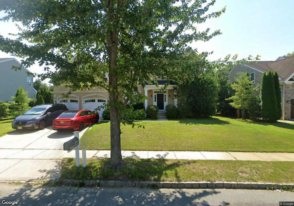
212 Westgate Rd Egg Harbor Township, NJ 08234
Estimated Value: $578,560 - $652,000
--
Bed
--
Bath
3,082
Sq Ft
$202/Sq Ft
Est. Value
About This Home
This home is located at 212 Westgate Rd, Egg Harbor Township, NJ 08234 and is currently estimated at $623,890, approximately $202 per square foot. 212 Westgate Rd is a home located in Atlantic County with nearby schools including Egg Harbor Township High School, Islamic Academy of South Jersey, and English Creek Academy.
Ownership History
Date
Name
Owned For
Owner Type
Purchase Details
Closed on
Sep 29, 2008
Sold by
Baker Residential Of Pennsylvania Llc
Bought by
Pang Vincent M and Pang Alyssa N
Current Estimated Value
Home Financials for this Owner
Home Financials are based on the most recent Mortgage that was taken out on this home.
Original Mortgage
$310,000
Outstanding Balance
$206,143
Interest Rate
6.43%
Mortgage Type
Purchase Money Mortgage
Estimated Equity
$417,747
Create a Home Valuation Report for This Property
The Home Valuation Report is an in-depth analysis detailing your home's value as well as a comparison with similar homes in the area
Home Values in the Area
Average Home Value in this Area
Purchase History
| Date | Buyer | Sale Price | Title Company |
|---|---|---|---|
| Pang Vincent M | $421,470 | Fidelity Natl Title Ins Co |
Source: Public Records
Mortgage History
| Date | Status | Borrower | Loan Amount |
|---|---|---|---|
| Open | Pang Vincent M | $310,000 |
Source: Public Records
Tax History Compared to Growth
Tax History
| Year | Tax Paid | Tax Assessment Tax Assessment Total Assessment is a certain percentage of the fair market value that is determined by local assessors to be the total taxable value of land and additions on the property. | Land | Improvement |
|---|---|---|---|---|
| 2025 | $9,297 | $277,200 | $41,000 | $236,200 |
| 2024 | $9,297 | $277,200 | $41,000 | $236,200 |
| 2023 | $9,245 | $277,200 | $41,000 | $236,200 |
| 2022 | $9,245 | $277,200 | $41,000 | $236,200 |
| 2021 | $9,319 | $277,200 | $41,000 | $236,200 |
| 2020 | $9,150 | $277,200 | $41,000 | $236,200 |
| 2019 | $8,901 | $277,200 | $41,000 | $236,200 |
| 2018 | $9,146 | $291,100 | $41,000 | $250,100 |
| 2017 | $9,114 | $291,100 | $41,000 | $250,100 |
| 2016 | $8,753 | $291,100 | $41,000 | $250,100 |
| 2015 | $8,625 | $291,100 | $41,000 | $250,100 |
| 2014 | $8,393 | $289,000 | $41,000 | $248,000 |
Source: Public Records
Map
Nearby Homes
- 105 Leo Ave
- 68 Northridge Dr
- 165 Turnberry Ct
- 22 Westover Cir Unit 22C1
- 22 Westover Cir Unit 1
- 106 Leo Ave
- 172 Turnberry Ct
- 154 Muirfield Ct
- 117 Bernard Ave
- 110 Leo Ave
- 103 Bernard Ave
- 150 Troon Ct
- 156 Muirfield Ct
- 182 Pebble Beach Dr
- 6035 W Jersey Ave
- 131 Aberdeen Ct Unit 131
- 197 Pebble Beach Dr Unit 197
- 26 Baltusrol Dr
- 3083 Mckee Ave
- 209 Burning Tree Ct
- 214 Westgate Rd
- 121 Briarcliff Dr
- 217 Westgate Rd
- 119 Briarcliff Dr
- 123 Briarcliff Dr
- 208 Westgate Rd
- 219 Westgate Rd
- 117 Briarcliff Dr
- 215 Westgate Rd
- 216 Westgate Rd
- 213 Westgate Rd
- 206 Westgate Rd
- 115 Briarcliff Dr
- 125 Briarcliff Dr
- 221 Westgate Rd
- 211 Westgate Rd
- 113 Briarcliff Dr
- 204 Westgate Rd
- 124 Briarcliff Dr
- 126 Briarcliff Dr