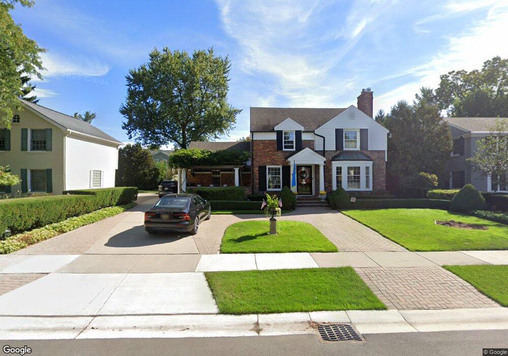
212 Westwood Dr Unit Bldg-Unit Bloomfield Hills, MI 48301
Estimated Value: $973,000 - $1,212,000
3
Beds
3
Baths
2,711
Sq Ft
$404/Sq Ft
Est. Value
About This Home
This home is located at 212 Westwood Dr Unit Bldg-Unit, Bloomfield Hills, MI 48301 and is currently estimated at $1,094,235, approximately $403 per square foot. 212 Westwood Dr Unit Bldg-Unit is a home located in Oakland County with nearby schools including Quarton Elementary, Derby Middle School, and Ernest W. Seaholm High School.
Ownership History
Date
Name
Owned For
Owner Type
Purchase Details
Closed on
Sep 4, 2020
Sold by
Cartwright Kenneth J and Daras Dawn M
Bought by
Daras Dawn M and The Dawn M Daras Trust
Current Estimated Value
Purchase Details
Closed on
Jul 20, 2018
Sold by
Wyett Todd A and Todd A Wyett Trust
Bought by
Daras Dawn M and Cartwright Kenneth J
Home Financials for this Owner
Home Financials are based on the most recent Mortgage that was taken out on this home.
Original Mortgage
$375,000
Interest Rate
4.6%
Mortgage Type
New Conventional
Purchase Details
Closed on
Oct 11, 1999
Sold by
Wyett Todd A
Bought by
Todd A Wyett Tr
Create a Home Valuation Report for This Property
The Home Valuation Report is an in-depth analysis detailing your home's value as well as a comparison with similar homes in the area
Home Values in the Area
Average Home Value in this Area
Purchase History
| Date | Buyer | Sale Price | Title Company |
|---|---|---|---|
| Daras Dawn M | -- | None Available | |
| Dawn M Daras Trust | -- | None Listed On Document | |
| Daras Dawn M | $725,000 | First American Title Insuran | |
| Todd A Wyett Tr | -- | -- |
Source: Public Records
Mortgage History
| Date | Status | Borrower | Loan Amount |
|---|---|---|---|
| Previous Owner | Daras Dawn M | $375,000 |
Source: Public Records
Tax History Compared to Growth
Tax History
| Year | Tax Paid | Tax Assessment Tax Assessment Total Assessment is a certain percentage of the fair market value that is determined by local assessors to be the total taxable value of land and additions on the property. | Land | Improvement |
|---|---|---|---|---|
| 2024 | $7,427 | $399,000 | $0 | $0 |
| 2023 | $7,128 | $359,610 | $0 | $0 |
| 2022 | $12,567 | $323,970 | $0 | $0 |
| 2021 | $13,801 | $342,430 | $0 | $0 |
| 2020 | $7,457 | $336,860 | $0 | $0 |
| 2019 | $13,855 | $332,900 | $0 | $0 |
| 2018 | $11,064 | $317,790 | $0 | $0 |
| 2017 | $12,068 | $296,520 | $0 | $0 |
| 2016 | $12,054 | $273,140 | $0 | $0 |
| 2015 | -- | $261,150 | $0 | $0 |
| 2014 | -- | $255,810 | $0 | $0 |
| 2011 | -- | $223,430 | $0 | $0 |
Source: Public Records
Map
Nearby Homes
- 120 Westchester Way
- 345 Kimberly St
- 1834 Fairview St
- 394 S Glenhurst Dr
- 1882 Melbourne St
- 397 S Cranbrook Rd
- 586 Fairfax St
- 520 Pleasant St
- 695 Westchester Way
- 222 Arlington St
- 2579 Amberly Rd
- 956 Westwood Dr
- 1019 N Cranbrook Rd
- 1120 Lyonhurst St
- 999 Pleasant Ave
- 329 Linden Rd
- 2802 Heathfield Rd
- 786 S Cranbrook Rd
- 1260 Lyonhurst St
- 2721 Heathfield Rd
- 212 Westwood Dr
- 186 Westwood Dr
- 230 Westwood Dr
- 189 N Glenhurst Dr
- 211 N Glenhurst Dr
- 168 Westwood Dr
- 254 Westwood Dr
- 239 N Glenhurst Dr
- 169 N Glenhurst Dr
- 217 Westwood Dr
- 2048 W Maple Rd
- 235 Westwood Dr
- 185 Westwood Dr
- 261 N Glenhurst Dr
- 278 Westwood Dr
- 165 Westwood Dr
- 188 N Glenhurst Dr
- 265 Westwood Dr
- 240 N Glenhurst Dr
- 210 N Glenhurst Dr