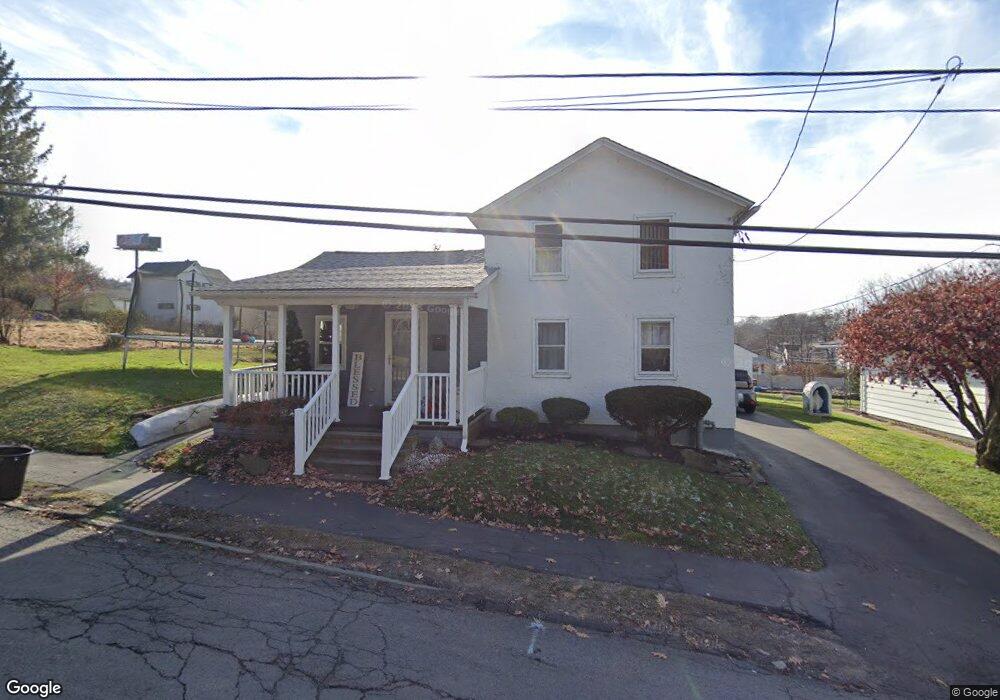
2120 Ash St Scranton, PA 18510
Hill Section NeighborhoodEstimated Value: $139,000 - $217,000
Studio
--
Bath
--
Sq Ft
4,356
Sq Ft Lot
About This Home
This home is located at 2120 Ash St, Scranton, PA 18510 and is currently estimated at $185,317. 2120 Ash St is a home located in Lackawanna County with nearby schools including William Prescott School, Northeast Scranton Intermediate School, and Scranton High School.
Ownership History
Date
Name
Owned For
Owner Type
Purchase Details
Closed on
Jan 16, 2020
Sold by
Rita Fiore
Bought by
Barbuti-Ayala Leandra E
Current Estimated Value
Purchase Details
Closed on
Feb 15, 2008
Sold by
Fiore Debra Ann
Bought by
Ayala Leandra E Barbuti
Home Financials for this Owner
Home Financials are based on the most recent Mortgage that was taken out on this home.
Original Mortgage
$80,750
Interest Rate
6.14%
Mortgage Type
New Conventional
Create a Home Valuation Report for This Property
The Home Valuation Report is an in-depth analysis detailing your home's value as well as a comparison with similar homes in the area
Home Values in the Area
Average Home Value in this Area
Purchase History
| Date | Buyer | Sale Price | Title Company |
|---|---|---|---|
| Barbuti-Ayala Leandra E | -- | None Listed On Document | |
| Ayala Leandra E Barbuti | $85,000 | None Available |
Source: Public Records
Mortgage History
| Date | Status | Borrower | Loan Amount |
|---|---|---|---|
| Previous Owner | Ayala Leandra E Barbuti | $80,750 |
Source: Public Records
Tax History
| Year | Tax Paid | Tax Assessment Tax Assessment Total Assessment is a certain percentage of the fair market value that is determined by local assessors to be the total taxable value of land and additions on the property. | Land | Improvement |
|---|---|---|---|---|
| 2025 | $2,352 | $7,150 | $1,400 | $5,750 |
| 2024 | $2,153 | $7,150 | $1,400 | $5,750 |
| 2023 | $2,153 | $7,150 | $1,400 | $5,750 |
| 2022 | $1,659 | $6,151 | $400 | $5,751 |
| 2021 | $1,659 | $6,151 | $400 | $5,751 |
| 2020 | $1,626 | $6,151 | $400 | $5,751 |
| 2019 | $1,527 | $6,151 | $400 | $5,751 |
| 2018 | $1,527 | $6,151 | $400 | $5,751 |
| 2017 | $1,498 | $6,151 | $400 | $5,751 |
| 2016 | $384 | $6,151 | $400 | $5,751 |
| 2015 | $776 | $6,151 | $400 | $5,751 |
| 2014 | -- | $6,151 | $400 | $5,751 |
Source: Public Records
Map
Nearby Homes
- 1947 Myrtle St
- 837 Matthew Ave
- 944 Matthew Ave
- 1050 Mark Ave
- 2211 Ash St
- 0 Silkman Ave
- 200 Sand St
- 900 Wheeler Ave
- 812 Butler St
- 0 Colfax and Gibson Ave Unit GSBSC255175
- 80 Elmhurst Blvd
- 611 Chestnut St
- 105 Rhonda Dr
- 929 Ridge Ave
- 619 Arthur Ave
- 1050 Prescott Ave
- 709 Meade St
- 617 Arthur Ave
- 1017 Prescott Ave
- 19 Leslie Dr
Your Personal Tour Guide
Ask me questions while you tour the home.