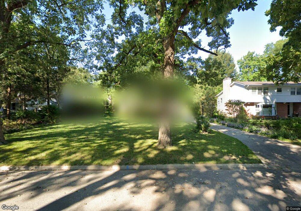
2120 Ash St Waukegan, IL 60087
Marquette Highlands NeighborhoodEstimated Value: $306,000 - $314,000
3
Beds
2
Baths
2,073
Sq Ft
$149/Sq Ft
Est. Value
About This Home
This home is located at 2120 Ash St, Waukegan, IL 60087 and is currently estimated at $309,703, approximately $149 per square foot. 2120 Ash St is a home located in Lake County with nearby schools including Greenwood Elementary School, Edith M Smith Middle School, and Waukegan High School.
Ownership History
Date
Name
Owned For
Owner Type
Purchase Details
Closed on
Aug 23, 2004
Sold by
Hughes William B and Buddenhagen Ruth E
Bought by
Montalvo Martin and Head Maria
Current Estimated Value
Home Financials for this Owner
Home Financials are based on the most recent Mortgage that was taken out on this home.
Original Mortgage
$145,600
Outstanding Balance
$69,793
Interest Rate
5.5%
Mortgage Type
Purchase Money Mortgage
Estimated Equity
$239,910
Purchase Details
Closed on
Nov 12, 1996
Sold by
Runyard Kevin C and Runyard Marlene A
Bought by
Hughes William B and Buddenhagen Ruth E
Home Financials for this Owner
Home Financials are based on the most recent Mortgage that was taken out on this home.
Original Mortgage
$107,200
Interest Rate
8.18%
Create a Home Valuation Report for This Property
The Home Valuation Report is an in-depth analysis detailing your home's value as well as a comparison with similar homes in the area
Home Values in the Area
Average Home Value in this Area
Purchase History
| Date | Buyer | Sale Price | Title Company |
|---|---|---|---|
| Montalvo Martin | $182,000 | Attornys Title Guaranty Fund | |
| Hughes William B | $134,000 | First American Title |
Source: Public Records
Mortgage History
| Date | Status | Borrower | Loan Amount |
|---|---|---|---|
| Open | Montalvo Martin | $145,600 | |
| Previous Owner | Hughes William B | $107,200 |
Source: Public Records
Tax History Compared to Growth
Tax History
| Year | Tax Paid | Tax Assessment Tax Assessment Total Assessment is a certain percentage of the fair market value that is determined by local assessors to be the total taxable value of land and additions on the property. | Land | Improvement |
|---|---|---|---|---|
| 2024 | $5,679 | $75,612 | $18,471 | $57,141 |
| 2023 | $5,726 | $68,228 | $16,667 | $51,561 |
| 2022 | $5,726 | $64,572 | $14,430 | $50,142 |
| 2021 | $5,789 | $61,522 | $12,872 | $48,650 |
| 2020 | $5,817 | $57,315 | $11,992 | $45,323 |
| 2019 | $5,802 | $52,520 | $10,989 | $41,531 |
| 2018 | $5,440 | $48,461 | $15,553 | $32,908 |
| 2017 | $5,245 | $42,874 | $13,760 | $29,114 |
| 2016 | $4,830 | $37,256 | $11,957 | $25,299 |
| 2015 | $4,619 | $33,345 | $10,702 | $22,643 |
| 2014 | $4,253 | $30,679 | $9,663 | $21,016 |
| 2012 | $5,491 | $33,237 | $10,469 | $22,768 |
Source: Public Records
Map
Nearby Homes
- 2232 Walnut St
- 1905 Linden Ave
- 301 W Eagle Ct
- 616 W Keith Ave
- 2246 Alta Vista Dr
- 0 Traditions Dr
- 2213 Alta Vista Dr
- 1018 W Atlantic Ave
- 1336 N Ash St
- 1335 Chestnut St
- 2350 N Lewis Ave
- 1312 N Linden Ave
- 1612 Whitney St
- 2613 N Lewis Ave
- 1110 N Ash St
- 1504 W Glen Flora Ave
- 1105 Woodlawn Cir
- 37231 N Ganster Rd
- 2008 Harding Ave
- 2207 Williamsburg Dr