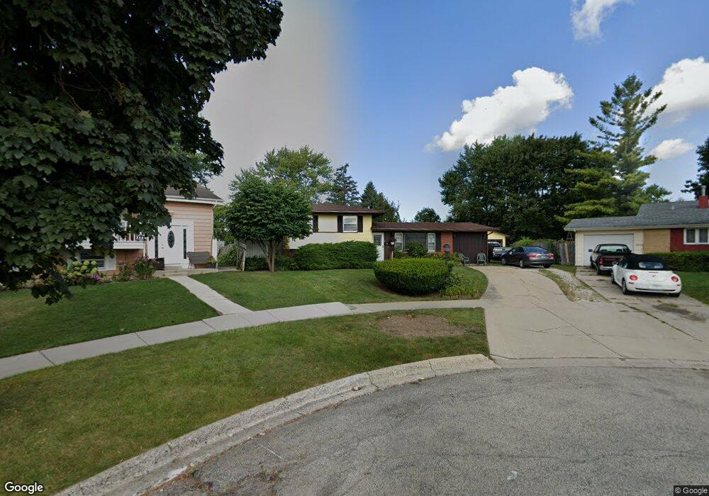
2120 Castle Ct Waukegan, IL 60087
Estimated Value: $266,000 - $285,473
3
Beds
1
Bath
1,384
Sq Ft
$198/Sq Ft
Est. Value
About This Home
This home is located at 2120 Castle Ct, Waukegan, IL 60087 and is currently estimated at $274,368, approximately $198 per square foot. 2120 Castle Ct is a home located in Lake County with nearby schools including H R McCall Elementary School, Jack Benny Middle School, and Waukegan High School.
Ownership History
Date
Name
Owned For
Owner Type
Purchase Details
Closed on
Nov 18, 1998
Sold by
Swanick Kirk S
Bought by
Swanick Kirk S and Swanick Helen
Current Estimated Value
Home Financials for this Owner
Home Financials are based on the most recent Mortgage that was taken out on this home.
Original Mortgage
$100,000
Interest Rate
6.8%
Create a Home Valuation Report for This Property
The Home Valuation Report is an in-depth analysis detailing your home's value as well as a comparison with similar homes in the area
Home Values in the Area
Average Home Value in this Area
Purchase History
| Date | Buyer | Sale Price | Title Company |
|---|---|---|---|
| Swanick Kirk S | -- | -- |
Source: Public Records
Mortgage History
| Date | Status | Borrower | Loan Amount |
|---|---|---|---|
| Closed | Swanick Kirk S | $100,000 |
Source: Public Records
Tax History Compared to Growth
Tax History
| Year | Tax Paid | Tax Assessment Tax Assessment Total Assessment is a certain percentage of the fair market value that is determined by local assessors to be the total taxable value of land and additions on the property. | Land | Improvement |
|---|---|---|---|---|
| 2024 | $5,428 | $83,479 | $12,714 | $70,765 |
| 2023 | $5,949 | $75,567 | $11,486 | $64,081 |
| 2022 | $5,949 | $66,850 | $10,915 | $55,935 |
| 2021 | $5,767 | $61,316 | $10,395 | $50,921 |
| 2020 | $5,568 | $57,123 | $9,684 | $47,439 |
| 2019 | $5,534 | $52,344 | $8,874 | $43,470 |
| 2018 | $4,821 | $45,798 | $11,419 | $34,379 |
| 2017 | $4,626 | $40,519 | $10,103 | $30,416 |
| 2016 | $4,205 | $35,209 | $8,779 | $26,430 |
| 2015 | $3,972 | $31,512 | $7,857 | $23,655 |
| 2014 | $3,491 | $26,176 | $6,135 | $20,041 |
| 2012 | $4,547 | $28,357 | $6,646 | $21,711 |
Source: Public Records
Map
Nearby Homes
- 3211 Rugby Ct
- 3101 Country Club Ln
- 3411 N Lewis Ave
- 37966 N Cornell Rd
- 1636 Rice St
- 1612 Whitney St
- 1730 W Beach Rd
- 2613 N Lewis Ave
- 12312 W Audrey Ave
- 38127 N Shore Ave
- 38362 N Manor Ave
- 38683 N Lewis Ave
- 37905 N Loyola Ave
- 2708 Dana Ave
- 2705 Dana Ave
- 2350 N Lewis Ave
- 12582 W Beach Rd
- 38697 N Cedar Ave
- 2713 Varonen Ave
- 36955 N Garrick Ave
- 2118 Castle Ct
- 2124 Castle Ct
- 3217 Twyford Rd
- 3213 Twyford Rd
- 3221 Twyford Rd
- 2126 Kingston Rd
- 2130 Kingston Rd
- 3225 Twyford Rd
- 2114 Castle Ct
- 2112 Castle Ct
- 3229 Twyford Rd
- 2110 Kingston Rd
- 3233 Twyford Rd
- 3220 Twyford Rd
- 3218 Twyford Rd
- 2125 Kingston Rd Unit 2
- 3214 Twyford Rd
- 2121 Kingston Rd
- 3226 Twyford Rd
- 2123 Dover Rd