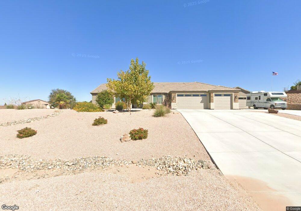
2120 Cherokee Cir Kingman, AR 86401
Estimated Value: $649,140 - $746,000
--
Bed
3
Baths
3,005
Sq Ft
$233/Sq Ft
Est. Value
About This Home
This home is located at 2120 Cherokee Cir, Kingman, AR 86401 and is currently estimated at $698,785, approximately $232 per square foot. 2120 Cherokee Cir is a home located in Mohave County with nearby schools including Hualapai Elementary School, White Cliffs Middle School, and Lee Williams High School.
Ownership History
Date
Name
Owned For
Owner Type
Purchase Details
Closed on
May 5, 2025
Sold by
Porter Michael Robert-Reece and Porter Mardella R
Bought by
Michael And Mardella Porter Family Trust and Porter
Current Estimated Value
Purchase Details
Closed on
Sep 11, 2018
Sold by
Foothills Estates Phase G Llc
Bought by
Angle Homes Inc
Home Financials for this Owner
Home Financials are based on the most recent Mortgage that was taken out on this home.
Original Mortgage
$356,944
Interest Rate
4.1%
Mortgage Type
VA
Purchase Details
Closed on
Aug 31, 2018
Sold by
Angle Homes Inc
Bought by
Porter Michael Robert Reece and Porter Mardella Rose
Home Financials for this Owner
Home Financials are based on the most recent Mortgage that was taken out on this home.
Original Mortgage
$356,944
Interest Rate
4.1%
Mortgage Type
VA
Create a Home Valuation Report for This Property
The Home Valuation Report is an in-depth analysis detailing your home's value as well as a comparison with similar homes in the area
Home Values in the Area
Average Home Value in this Area
Purchase History
| Date | Buyer | Sale Price | Title Company |
|---|---|---|---|
| Michael And Mardella Porter Family Trust | -- | None Listed On Document | |
| Angle Homes Inc | $65,000 | None Available | |
| Porter Michael Robert Reece | $440,673 | Pioneer Title Agency Inc |
Source: Public Records
Mortgage History
| Date | Status | Borrower | Loan Amount |
|---|---|---|---|
| Previous Owner | Porter Michael Robert Reece | $356,944 |
Source: Public Records
Tax History Compared to Growth
Tax History
| Year | Tax Paid | Tax Assessment Tax Assessment Total Assessment is a certain percentage of the fair market value that is determined by local assessors to be the total taxable value of land and additions on the property. | Land | Improvement |
|---|---|---|---|---|
| 2026 | $1,190 | -- | -- | -- |
| 2025 | $2,453 | $51,471 | $0 | $0 |
| 2024 | $2,453 | $79,851 | $0 | $0 |
| 2023 | $2,453 | $60,256 | $0 | $0 |
| 2022 | $2,245 | $51,254 | $0 | $0 |
| 2021 | $2,382 | $41,891 | $0 | $0 |
| 2019 | $602 | $7,816 | $0 | $0 |
| 2018 | $622 | $7,370 | $0 | $0 |
| 2017 | $88 | $857 | $0 | $0 |
Source: Public Records
Map
Nearby Homes
- 2276 Seminole Dr
- 2335 Hopi Dr
- 2124 Blackfoot Dr
- 2393 Iroquois Dr
- 3811 Dakota Rd
- 2414 Seminole Way
- 3741 Cheyenne Ave
- 2488 Iroquois Dr
- 2565 Diamond Spur St
- 850 Rawhide Dr
- TBD Pasadena Ave
- 4319 Gemstone Ave
- 843 S Desert Canyon Way
- 3516 Packsaddle Rd
- 2199 Seneca St
- 831 Driscoll Way
- 0 Mohave Dr Unit Arizona
- 1550 Mountain Trail Rd
- 2575 Triangle St
- 1400 Rawhide Dr
- 2120 Cherokee Cir
- 2125 Cherokee St
- 2125 Cherokee St
- 2130 Cherokee Cir
- 2130 Cherokee Cir
- 2130 Cherokee Cir
- 2175 Cherokee St
- 2175 Cherokee St
- 2125 Cherokee Cir
- 2125 Cherokee Cir
- 2135 Cherokee Cir
- 2135 Cherokee Cir
- 2115 Cherokee Cir
- 2115 Cherokee Cir
- 3970 Dakota Rd
- 2105 Cherokee Cir
- 2105 Cherokee Cir
- 2105 Cherokee Cir
- 2145 Cherokee Cir
- 2145 Cherokee Cir