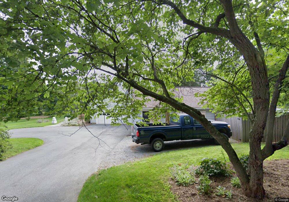
2120 Ednor Rd Silver Spring, MD 20905
Ashton-Sandy Spring NeighborhoodEstimated Value: $862,000 - $1,289,000
Studio
4
Baths
3,982
Sq Ft
$273/Sq Ft
Est. Value
About This Home
This home is located at 2120 Ednor Rd, Silver Spring, MD 20905 and is currently estimated at $1,086,124, approximately $272 per square foot. 2120 Ednor Rd is a home located in Montgomery County with nearby schools including Cloverly Elementary School, William H. Farquhar Middle School, and James Hubert Blake High School.
Ownership History
Date
Name
Owned For
Owner Type
Purchase Details
Closed on
Jul 22, 1998
Sold by
Lindsey T
Bought by
Douglas S S and Douglas Mitchell D
Current Estimated Value
Purchase Details
Closed on
Apr 11, 1994
Sold by
Snow K E
Bought by
Lindsey T
Home Financials for this Owner
Home Financials are based on the most recent Mortgage that was taken out on this home.
Original Mortgage
$308,000
Interest Rate
7.27%
Create a Home Valuation Report for This Property
The Home Valuation Report is an in-depth analysis detailing your home's value as well as a comparison with similar homes in the area
Home Values in the Area
Average Home Value in this Area
Purchase History
| Date | Buyer | Sale Price | Title Company |
|---|---|---|---|
| Douglas S S | $324,900 | -- | |
| Lindsey T | $342,500 | -- |
Source: Public Records
Mortgage History
| Date | Status | Borrower | Loan Amount |
|---|---|---|---|
| Previous Owner | Lindsey T | $308,000 |
Source: Public Records
Tax History Compared to Growth
Tax History
| Year | Tax Paid | Tax Assessment Tax Assessment Total Assessment is a certain percentage of the fair market value that is determined by local assessors to be the total taxable value of land and additions on the property. | Land | Improvement |
|---|---|---|---|---|
| 2025 | $9,473 | $813,600 | -- | -- |
| 2024 | $9,473 | $755,100 | $0 | $0 |
| 2023 | $8,065 | $696,600 | $255,200 | $441,400 |
| 2022 | $7,620 | $689,233 | $0 | $0 |
| 2021 | $7,355 | $681,867 | $0 | $0 |
| 2020 | $7,355 | $674,500 | $255,200 | $419,300 |
| 2019 | $6,818 | $627,900 | $0 | $0 |
| 2018 | $6,307 | $581,300 | $0 | $0 |
| 2017 | $5,901 | $534,700 | $0 | $0 |
| 2016 | -- | $529,567 | $0 | $0 |
| 2015 | $6,159 | $524,433 | $0 | $0 |
| 2014 | $6,159 | $519,300 | $0 | $0 |
Source: Public Records
Map
Nearby Homes
- 1325 Patuxent Dr
- 1401 Tucker Ln
- 7652 Greendell Ln
- 17731 Striley Dr
- 12425 Hill Crest
- 900 Tucker Ln
- 1216 Ashton Rd
- 1625 Ashton Rd
- 13790 Clarksville Pike
- 1225 Spencerville Rd
- 2307 Spencerville Rd
- 13739 Briaridge Ct
- 8502 Lallybroch Ln
- 8500 Lallybroch Ln
- 8541 Lallybroch Ln
- Davenport II Plan at Maple Highlands - 55+ Villas
- Albright Plan at Maple Highlands - 55+ Villas
- 15830 Kruhm Rd
- 12150 Nicolar Dr
- 12152 Nicolar Dr
- 2110 Ednor Rd
- 2000 Ednor Rd
- 2030 Ednor Rd
- 2010 Ednor Rd
- 17408 Rocky Gorge Ct
- 2130 Ednor Rd
- 17409 Rocky Gorge Ct
- 2100 Ednor Rd
- 1924 Ednor Rd
- 2020 Ednor Rd
- 17404 Rocky Gorge Ct
- 17313 Twin Ridge Ct
- 17309 Twin Ridge Ct
- 17405 Rocky Gorge Ct
- 17400 Rocky Gorge Ct
- 1920 Ednor Rd
- 17308 Twin Ridge Ct
- 2101 Link Rd
- 1916 Ednor Rd
- 2200 Ednor Rd