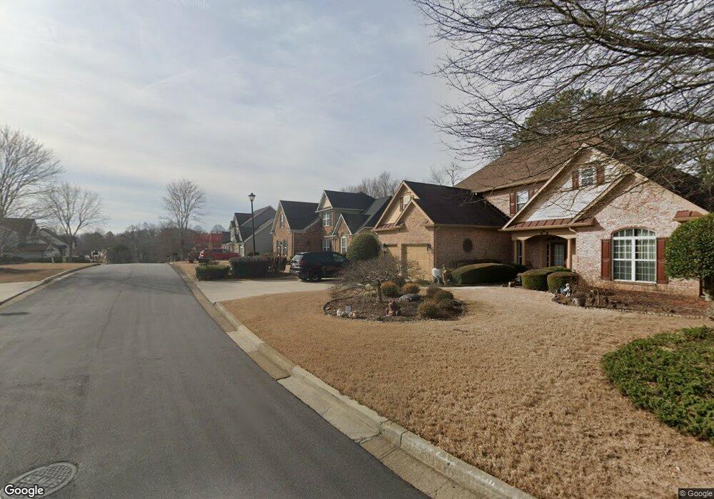
2120 Hemrick Rd Cumming, GA 30041
Big Creek NeighborhoodEstimated Value: $622,537 - $677,000
3
Beds
3
Baths
2,479
Sq Ft
$261/Sq Ft
Est. Value
About This Home
This home is located at 2120 Hemrick Rd, Cumming, GA 30041 and is currently estimated at $645,884, approximately $260 per square foot. 2120 Hemrick Rd is a home located in Forsyth County with nearby schools including Big Creek Elementary School, South Forsyth Middle School, and South Forsyth High School.
Ownership History
Date
Name
Owned For
Owner Type
Purchase Details
Closed on
Jul 20, 2005
Sold by
R H Homes Devel Llc
Bought by
Kucharski Edwin A and Kucharski Anna
Current Estimated Value
Home Financials for this Owner
Home Financials are based on the most recent Mortgage that was taken out on this home.
Original Mortgage
$125,000
Outstanding Balance
$64,956
Interest Rate
5.59%
Mortgage Type
New Conventional
Estimated Equity
$580,928
Create a Home Valuation Report for This Property
The Home Valuation Report is an in-depth analysis detailing your home's value as well as a comparison with similar homes in the area
Home Values in the Area
Average Home Value in this Area
Purchase History
| Date | Buyer | Sale Price | Title Company |
|---|---|---|---|
| Kucharski Edwin A | $285,500 | -- |
Source: Public Records
Mortgage History
| Date | Status | Borrower | Loan Amount |
|---|---|---|---|
| Open | Kucharski Edwin A | $125,000 |
Source: Public Records
Tax History Compared to Growth
Tax History
| Year | Tax Paid | Tax Assessment Tax Assessment Total Assessment is a certain percentage of the fair market value that is determined by local assessors to be the total taxable value of land and additions on the property. | Land | Improvement |
|---|---|---|---|---|
| 2025 | $794 | $240,376 | $78,000 | $162,376 |
| 2024 | $794 | $224,000 | $66,000 | $158,000 |
| 2023 | $697 | $206,968 | $62,000 | $144,968 |
| 2022 | $795 | $149,200 | $56,000 | $93,200 |
| 2021 | $769 | $149,200 | $56,000 | $93,200 |
| 2020 | $768 | $148,904 | $56,000 | $92,904 |
| 2019 | $769 | $143,452 | $56,000 | $87,452 |
| 2018 | $751 | $115,756 | $24,000 | $91,756 |
| 2017 | $748 | $105,476 | $20,000 | $85,476 |
| 2016 | $748 | $105,476 | $20,000 | $85,476 |
| 2015 | $748 | $105,476 | $20,000 | $85,476 |
| 2014 | $696 | $98,064 | $0 | $0 |
Source: Public Records
Map
Nearby Homes
- The Oxford Plan at Windsor Bluffs
- The Cambridge Plan at Windsor Bluffs
- The Berkshire Plan at Windsor Bluffs
- 2260 Thames Ct
- 2250 Thames Ct
- 2255 Windsor Bluffs Dr
- 2380 Manor Creek Ct
- 2615 Hillandale Cir
- 2560 Hillandale Cir
- 2540 Hillandale Cir
- 2530 Gold Creek Ln
- Davis Plan at Sterling Pointe
- Ward Plan at Sterling Pointe
- Richmond Plan at Sterling Pointe
- Valley Plan at Sterling Pointe
- Waterstone Plan at Sterling Pointe
- 1760 Commonwealth Trail
- 2505 Thackery Ct
- 2690 Portabella Ln
- 2530 Thackery Ct
- 2130 Hemrick Rd
- 2090 Hemrick Rd
- 2115 Hemrick Rd
- 2140 Hemrick Rd
- 2125 Hemrick Rd
- 2150 Hemrick Rd
- 2415 Hemrick Rd
- 2145 Hemrick Rd
- 2355 Hemrick Rd
- 2420 Hemrick Rd
- 2345 Hemrick Rd
- 2160 Hemrick Rd
- 2079 Hemrick Rd
- 2155 Hemrick Rd
- 2190 Arbor Chase
- 2180 Arbor Chase
- 2390 Hemrick Rd
- 2390 Hemrick Rd Unit 1
- 2410 Hemrick Rd
- 2335 Hemrick Rd