2120 Independence Dr Unit A67 Austin, TX 78745
Cherry Creek NeighborhoodEstimated Value: $542,000 - $630,000
Studio
3
Baths
2,169
Sq Ft
$272/Sq Ft
Est. Value
About This Home
This home is located at 2120 Independence Dr Unit A67, Austin, TX 78745 and is currently estimated at $589,150, approximately $271 per square foot. 2120 Independence Dr Unit A67 is a home located in Travis County with nearby schools including Cunningham Elementary School, Covington Middle School, and Crockett High School.
Ownership History
Date
Name
Owned For
Owner Type
Purchase Details
Closed on
Jun 21, 2017
Sold by
Beegle Jennifer Lynn
Bought by
Goehring Jessica
Current Estimated Value
Home Financials for this Owner
Home Financials are based on the most recent Mortgage that was taken out on this home.
Original Mortgage
$162,400
Outstanding Balance
$134,674
Interest Rate
3.91%
Estimated Equity
$454,476
Purchase Details
Closed on
Dec 21, 2007
Sold by
Newmark Homes Lp
Bought by
Goehring Jessica Renee and Robinson Kelly
Create a Home Valuation Report for This Property
The Home Valuation Report is an in-depth analysis detailing your home's value as well as a comparison with similar homes in the area
Home Values in the Area
Average Home Value in this Area
Purchase History
| Date | Buyer | Sale Price | Title Company |
|---|---|---|---|
| Goehring Jessica | -- | -- | |
| Goehring Jessica Renee | -- | Universal Land Title |
Source: Public Records
Mortgage History
| Date | Status | Borrower | Loan Amount |
|---|---|---|---|
| Open | Goehring Jessica | $162,400 | |
| Closed | Goehring Jessica | -- |
Source: Public Records
Tax History
| Year | Tax Paid | Tax Assessment Tax Assessment Total Assessment is a certain percentage of the fair market value that is determined by local assessors to be the total taxable value of land and additions on the property. | Land | Improvement |
|---|---|---|---|---|
| 2025 | $9,228 | $571,354 | $135,299 | $436,055 |
| 2023 | $7,664 | $520,362 | $0 | $0 |
| 2022 | $9,343 | $473,056 | $0 | $0 |
| 2021 | $9,361 | $430,051 | $90,199 | $339,852 |
| 2020 | $8,496 | $396,122 | $90,199 | $305,923 |
| 2018 | $8,568 | $386,988 | $63,139 | $323,849 |
| 2017 | $8,104 | $363,388 | $63,139 | $300,249 |
| 2016 | $7,820 | $350,628 | $63,139 | $287,489 |
| 2015 | $6,489 | $324,541 | $63,139 | $263,889 |
| 2014 | $6,489 | $295,037 | $63,139 | $231,898 |
Source: Public Records
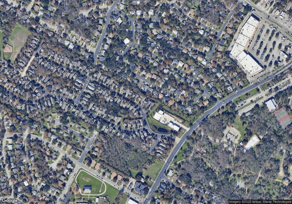
Map
Nearby Homes
- 2204 Falcon Hill Dr
- 2301 Brookhill Dr
- 2200 Amur Dr Unit B35
- 6225 Hillston Dr
- 2611 Coatbridge Dr
- 5423 Fairmont Cir
- 2512 Mcgregor Dr
- 5418 Fairmont Cir
- 1928 Miles Ave Unit 2
- 1928 Miles Ave Unit 1
- 2609 Carlow Dr
- 5403 Fairmont Cir
- 5508 Kings Hwy
- 6101 Bridlington Cir
- 2203 Southern Oaks Dr
- 5706 Cherry Creek Dr
- 6006 Rubicon Run
- 6212 Boxcar Run
- 6106 Bridlington Cir
- 2209 Fair Oaks Dr
- 2116 Independence Dr Unit A66
- 2124 Independence Dr Unit A68
- 2112 Independence Dr Unit A65
- 2129 Independence Dr Unit A52
- 2125 Independence Dr Unit A51
- 2128 Independence Dr Unit A69
- 2133 Independence Dr Unit A53
- 2132 Independence Dr Unit A70
- 2136 Independence Dr
- 2136 Independence Dr Unit A71
- 2207 Falcon Hill Dr
- 2205 Falcon Hill Dr
- 2137 Independence Dr Unit A54
- 2203 Falcon Hill Dr
- 2209 Falcon Hill Dr
- 2140 Independence Dr Unit A72
- 2141 Independence Dr Unit A55
- 2201 Falcon Hill Dr
- 2008 Amur Dr Unit A32