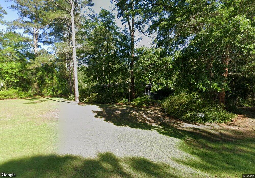
2120 Lower Meigs Rd Moultrie, GA 31768
Estimated Value: $130,000 - $272,000
--
Bed
2
Baths
1,928
Sq Ft
$109/Sq Ft
Est. Value
About This Home
This home is located at 2120 Lower Meigs Rd, Moultrie, GA 31768 and is currently estimated at $210,949, approximately $109 per square foot. 2120 Lower Meigs Rd is a home located in Colquitt County with nearby schools including Hamilton Elementary School, Willie J. Williams Middle School, and C.A. Gray Junior High School.
Ownership History
Date
Name
Owned For
Owner Type
Purchase Details
Closed on
Feb 2, 2005
Bought by
Fritz Stephen W
Current Estimated Value
Home Financials for this Owner
Home Financials are based on the most recent Mortgage that was taken out on this home.
Original Mortgage
$79,200
Outstanding Balance
$40,097
Interest Rate
5.69%
Mortgage Type
New Conventional
Estimated Equity
$170,852
Purchase Details
Closed on
Aug 5, 1992
Bought by
Fritz Stephen W
Create a Home Valuation Report for This Property
The Home Valuation Report is an in-depth analysis detailing your home's value as well as a comparison with similar homes in the area
Home Values in the Area
Average Home Value in this Area
Purchase History
| Date | Buyer | Sale Price | Title Company |
|---|---|---|---|
| Fritz Stephen W | -- | -- | |
| Fritz Stephen W | $657,000 | -- |
Source: Public Records
Mortgage History
| Date | Status | Borrower | Loan Amount |
|---|---|---|---|
| Open | Fritz Stephen W | $79,200 |
Source: Public Records
Tax History Compared to Growth
Tax History
| Year | Tax Paid | Tax Assessment Tax Assessment Total Assessment is a certain percentage of the fair market value that is determined by local assessors to be the total taxable value of land and additions on the property. | Land | Improvement |
|---|---|---|---|---|
| 2024 | $1,276 | $62,524 | $2,124 | $60,400 |
| 2023 | $1,276 | $48,855 | $2,124 | $46,731 |
| 2022 | $992 | $43,680 | $1,888 | $41,792 |
| 2021 | $873 | $37,948 | $1,888 | $36,060 |
| 2020 | $821 | $35,212 | $1,888 | $33,324 |
| 2019 | $863 | $33,388 | $1,888 | $31,500 |
| 2018 | $854 | $33,388 | $1,888 | $31,500 |
| 2017 | $884 | $34,482 | $2,982 | $31,500 |
| 2016 | $896 | $34,482 | $2,982 | $31,500 |
| 2015 | $904 | $34,482 | $2,982 | $31,500 |
| 2014 | $887 | $34,482 | $2,982 | $31,500 |
| 2013 | -- | $34,481 | $2,981 | $31,500 |
Source: Public Records
Map
Nearby Homes
- 0 Kendallwood Dr Unit 1652301
- 182 Mcginty Rd
- 265 Lb Nevels Rd
- 117 Will Rd
- 219 Cox Dairy Rd
- 135 Southlake Dr
- xx Ga Hwy 319 N
- 1557 US Highway 319 S
- 10 Hummingbird Rd
- Lot 3 Hummingbird Ln
- 39 Hummingbird Rd
- XX Us Highway 319 S Unit 8-11
- 00 Ragin Rd Unit 7
- 00 Ragin Rd Unit 12
- 5 Bracken Dr
- 0 Shade Murphy Rd Unit 12
- 534 Us Highway 319 S
- 1214 Erve Williams Rd
- 304 Clubview Dr
- 3 Baell Trace Ct SE
- 2122 Lower Meigs Rd
- 2160 Lower Meigs Rd
- 2162 Lower Meigs Rd
- 1989 Lower Meigs Rd
- 2234 Lower Meigs Rd
- 1982 Lower Meigs Rd
- 1972 Lower Meigs Rd
- 2233 Lower Meigs Rd
- 2254 Lower Meigs Rd
- 1906 Lower Meigs Rd
- 2288 Lower Meigs Rd
- 3197 Kendallwood Church Rd
- 2293 Lower Meigs Rd
- 3215 Kendallwood Church Rd
- 1966 Lower Meigs Rd
- 1966 Lower Meigs Rd
- 1949 Lower Meigs Rd
- 1878 Lower Meigs Rd
- 1878 Lower Meigs Rd
- 3198 Kendallwood Church Rd