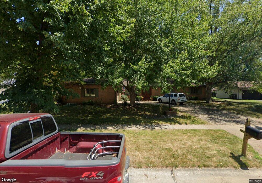
2120 Lynwood Dr Champaign, IL 61821
Bolten Field NeighborhoodEstimated Value: $346,000 - $429,000
--
Bed
3
Baths
2,354
Sq Ft
$160/Sq Ft
Est. Value
About This Home
This home is located at 2120 Lynwood Dr, Champaign, IL 61821 and is currently estimated at $376,027, approximately $159 per square foot. 2120 Lynwood Dr is a home located in Champaign County with nearby schools including Central High School, Next Generation School, and Devonshire KinderCare.
Ownership History
Date
Name
Owned For
Owner Type
Purchase Details
Closed on
Jan 26, 2021
Sold by
Smith Wayne O
Bought by
Smith Lauren T
Current Estimated Value
Home Financials for this Owner
Home Financials are based on the most recent Mortgage that was taken out on this home.
Original Mortgage
$55,000
Interest Rate
2.7%
Mortgage Type
New Conventional
Create a Home Valuation Report for This Property
The Home Valuation Report is an in-depth analysis detailing your home's value as well as a comparison with similar homes in the area
Home Values in the Area
Average Home Value in this Area
Purchase History
| Date | Buyer | Sale Price | Title Company |
|---|---|---|---|
| Smith Lauren T | -- | None Available |
Source: Public Records
Mortgage History
| Date | Status | Borrower | Loan Amount |
|---|---|---|---|
| Closed | Smith Lauren T | $55,000 |
Source: Public Records
Tax History Compared to Growth
Tax History
| Year | Tax Paid | Tax Assessment Tax Assessment Total Assessment is a certain percentage of the fair market value that is determined by local assessors to be the total taxable value of land and additions on the property. | Land | Improvement |
|---|---|---|---|---|
| 2024 | $7,576 | $98,830 | $31,700 | $67,130 |
| 2023 | $7,576 | $90,010 | $28,870 | $61,140 |
| 2022 | $7,084 | $83,030 | $26,630 | $56,400 |
| 2021 | $6,903 | $81,400 | $26,110 | $55,290 |
| 2020 | $6,626 | $78,270 | $25,110 | $53,160 |
| 2019 | $6,402 | $76,660 | $24,590 | $52,070 |
| 2018 | $6,737 | $80,870 | $24,200 | $56,670 |
| 2017 | $6,484 | $77,760 | $23,270 | $54,490 |
| 2016 | $5,803 | $76,160 | $22,790 | $53,370 |
| 2015 | $5,839 | $74,820 | $22,390 | $52,430 |
| 2014 | $5,789 | $74,820 | $22,390 | $52,430 |
| 2013 | $5,737 | $74,820 | $22,390 | $52,430 |
Source: Public Records
Map
Nearby Homes
- 2005 S Prospect Ave
- 7 McDonald Ct
- 1919 Melrose Dr Unit 1919B
- 702 Devonshire Dr
- 2409 Morrissey Park Dr Unit 2409
- 1205 Broadmoor Dr
- 2410 Stillwater Dr
- 2002 O Donnell Dr
- 1725 Lincoln Place
- 1202 Foothill Dr
- 2404 Windward Blvd Unit 202
- 1318 Broadmoor Dr
- 2521 Pembrook Point
- 2505 Windward Blvd Unit 2505
- 2144 Harbortown Cir Unit 2144
- 2521 Windward Blvd Unit 2521
- 1106 W Kirby Ave
- 1901 Lakeside Dr Unit B
- 32 Greencroft Dr
- 812 Dodds Dr
- 2118 Lynwood Dr
- 2122 Lynwood Dr
- 2119 Seaton Ct
- 2117 Seaton Ct
- 2121 Seaton Ct
- 2116 Lynwood Dr
- 2119 Lynwood Dr
- 2124 Lynwood Dr
- 2121 Lynwood Dr
- 2115 Seaton Ct
- 2117 Lynwood Dr
- 2123 Seaton Ct
- 2123 Lynwood Dr
- 2114 Lynwood Dr
- 2115 Lynwood Dr
- 1004 Harrington Dr
- 1006 Harrington Dr
- 2118 Bristol Rd
- 2116 Bristol Rd
- 2125 Lynwood Dr