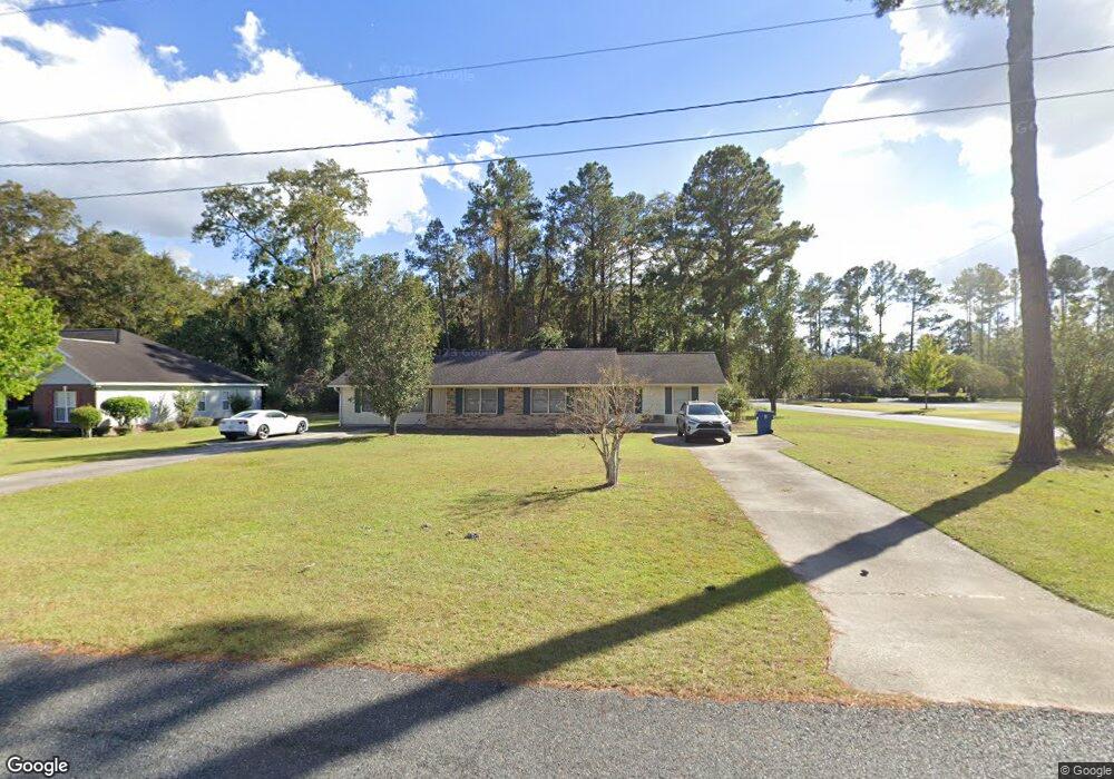
2120 Shawnee Dr Waycross, GA 31501
Estimated Value: $180,000 - $241,654
4
Beds
4
Baths
1,998
Sq Ft
$108/Sq Ft
Est. Value
About This Home
This home is located at 2120 Shawnee Dr, Waycross, GA 31501 and is currently estimated at $216,414, approximately $108 per square foot. 2120 Shawnee Dr is a home located in Ware County with nearby schools including Williams Heights Elementary School, Waycross Middle School, and Ware County High School.
Ownership History
Date
Name
Owned For
Owner Type
Purchase Details
Closed on
Jan 13, 2020
Sold by
Stewart Wayne F
Bought by
Wsas Properties & Investments Llc
Current Estimated Value
Purchase Details
Closed on
Aug 6, 2019
Sold by
Royal Randall F
Bought by
Stewart Wayne F
Purchase Details
Closed on
Jun 8, 2001
Sold by
Roberts J Wayne
Bought by
Royal Randall F
Purchase Details
Closed on
Oct 1, 1996
Sold by
Obrien Peter and Obrien Joseph
Bought by
Roberts J Wayne
Create a Home Valuation Report for This Property
The Home Valuation Report is an in-depth analysis detailing your home's value as well as a comparison with similar homes in the area
Home Values in the Area
Average Home Value in this Area
Purchase History
| Date | Buyer | Sale Price | Title Company |
|---|---|---|---|
| Wsas Properties & Investments Llc | -- | -- | |
| Stewart Wayne F | $140,000 | -- | |
| Royal Randall F | $86,000 | -- | |
| Roberts J Wayne | $85,000 | -- |
Source: Public Records
Tax History Compared to Growth
Tax History
| Year | Tax Paid | Tax Assessment Tax Assessment Total Assessment is a certain percentage of the fair market value that is determined by local assessors to be the total taxable value of land and additions on the property. | Land | Improvement |
|---|---|---|---|---|
| 2024 | $1,453 | $84,005 | $7,140 | $76,865 |
| 2023 | $1,482 | $72,880 | $8,820 | $64,060 |
| 2022 | $1,789 | $72,880 | $8,820 | $64,060 |
| 2021 | $1,566 | $58,848 | $8,820 | $50,028 |
| 2020 | $1,583 | $55,741 | $8,820 | $46,921 |
| 2019 | $1,211 | $41,755 | $8,820 | $32,935 |
| 2018 | $1,174 | $40,201 | $8,820 | $31,381 |
| 2017 | $1,184 | $40,201 | $8,820 | $31,381 |
| 2016 | $1,184 | $40,550 | $8,820 | $31,730 |
| 2015 | $1,250 | $43,730 | $12,000 | $31,730 |
| 2014 | $1,248 | $43,730 | $12,000 | $31,730 |
| 2013 | -- | $44,126 | $12,000 | $32,126 |
Source: Public Records
Map
Nearby Homes
- 914 Barkley St
- 1312 Atlantic Ave
- 955 Lynn Dr
- 807 City Blvd
- 1204 Richmond Ave
- 1502 Seminole Trail
- 1049 Riverdale Dr
- 7438 Central Ave
- 1002 Baltimore Ave
- 1100 Atlantic Ave
- 723 St Bernard Trail
- 1205 Dean Dr
- 1100 Euclid Ave
- 00 Seminole Trail
- 1400 E Cherokee Dr
- 2775 Seminole Trail
- 1009 Euclid Ave
- 1617 Moss Creek Rd
- 903 Atlantic Ave
- 867 Kentland Dr
- 909 Barkley St
- 910 Barkley St
- 2126 Shawnee Dr
- 913 Barkley St
- 913 Carrie Dr
- 2135 Shawnee Dr
- 2130 Shawnee Dr
- 2169 Central Ave
- 915 Carrie Dr
- 915 Barkley St
- 2130 Woodruff Ct
- 2140 Shawnee Dr
- 921 Barkley St
- 920 Barkley St
- 2185 Central Ave
- 919 Carrie Dr
- 2150 Shawnee Dr
- 912 Carrie Dr
- 2125 Woodruff Ct
- 2140 Woodruff Ct