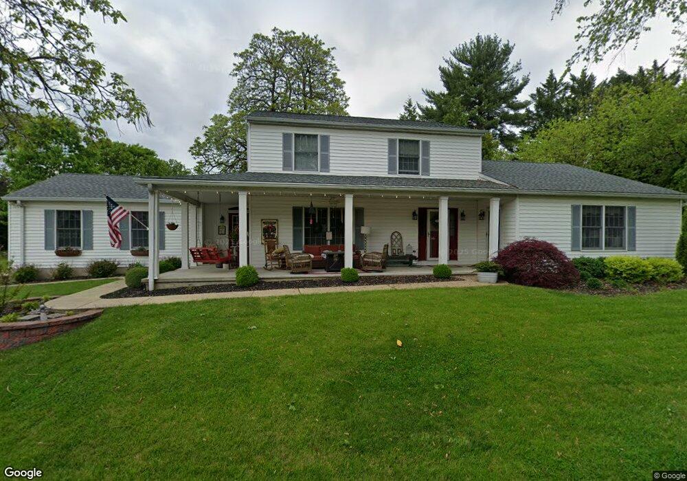
2120 Stonewall Rd Catonsville, MD 21228
Estimated Value: $687,101 - $775,000
--
Bed
5
Baths
2,604
Sq Ft
$281/Sq Ft
Est. Value
About This Home
This home is located at 2120 Stonewall Rd, Catonsville, MD 21228 and is currently estimated at $730,775, approximately $280 per square foot. 2120 Stonewall Rd is a home located in Baltimore County with nearby schools including Westchester Elementary School, Catonsville Middle School, and Catonsville High School.
Ownership History
Date
Name
Owned For
Owner Type
Purchase Details
Closed on
Apr 19, 2021
Sold by
Shutt David L and Shutt Elizabeth A
Bought by
Bond George R and Stricklin Barry
Current Estimated Value
Home Financials for this Owner
Home Financials are based on the most recent Mortgage that was taken out on this home.
Original Mortgage
$372,819
Outstanding Balance
$336,610
Interest Rate
3%
Mortgage Type
New Conventional
Estimated Equity
$394,165
Purchase Details
Closed on
Apr 17, 1992
Sold by
Basso and Basso
Bought by
Fordham Willard
Create a Home Valuation Report for This Property
The Home Valuation Report is an in-depth analysis detailing your home's value as well as a comparison with similar homes in the area
Home Values in the Area
Average Home Value in this Area
Purchase History
| Date | Buyer | Sale Price | Title Company |
|---|---|---|---|
| Bond George R | -- | Tower Title Services | |
| Fordham Willard | $253,400 | -- |
Source: Public Records
Mortgage History
| Date | Status | Borrower | Loan Amount |
|---|---|---|---|
| Open | Bond George R | $372,819 |
Source: Public Records
Tax History Compared to Growth
Tax History
| Year | Tax Paid | Tax Assessment Tax Assessment Total Assessment is a certain percentage of the fair market value that is determined by local assessors to be the total taxable value of land and additions on the property. | Land | Improvement |
|---|---|---|---|---|
| 2025 | $7,833 | $588,633 | -- | -- |
| 2024 | $7,833 | $560,000 | $135,600 | $424,400 |
| 2023 | $3,796 | $543,033 | $0 | $0 |
| 2022 | $7,260 | $526,067 | $0 | $0 |
| 2021 | $7,018 | $509,100 | $135,600 | $373,500 |
| 2020 | $7,018 | $491,700 | $0 | $0 |
| 2019 | $6,772 | $474,300 | $0 | $0 |
| 2018 | $6,609 | $456,900 | $120,600 | $336,300 |
| 2017 | $6,590 | $443,200 | $0 | $0 |
| 2016 | $5,659 | $429,500 | $0 | $0 |
| 2015 | $5,659 | $415,800 | $0 | $0 |
| 2014 | $5,659 | $415,800 | $0 | $0 |
Source: Public Records
Map
Nearby Homes
- 105 Oella Ave
- 311 Radstock Rd
- 231 Gralan Rd
- 302 Wessling Cir
- 2110 Edmondson Ave
- 19 Clay Lodge Ln Unit 104
- 11 Clay Lodge Ln Unit 204
- 2310 Rockwell Ave
- 2305 Rockwell Ave
- 1900 Lismore Ln
- 627 Meyers Dr
- 627 Meyers Dr Unit PARCEL 108
- 2621 Westchester Ave
- 2208 W Geipe Rd
- 720 Mary Jo Way
- 3 Rumford Dr Unit 202
- 2308 Quilting Bee Rd
- 8 Seminole Ave
- 1300 Rice Ave
- 1100 Lisadale Cir Unit 1A
- 2116 Stonewall Rd
- 2319 Old Frederick Rd
- 2118 Stonewall Rd
- 2122 Stonewall Rd
- 2114 Stonewall Rd
- 2317 Old Frederick Rd
- 2323 Old Frederick Rd
- 2315 Old Frederick Rd
- 2112 Stonewall Rd
- 2320 Old Frederick Rd
- 2322 Old Frederick Rd
- 2115 Stonewall Rd
- 2324 Old Frederick Rd
- 2111 Devere Ln
- 2121 Stonewall Rd
- 2307 Old Frederick Rd
- 2326 Old Frederick Rd
- 108 Taunton Ave
- 106 Taunton Ave
- 2403 Old Frederick Rd