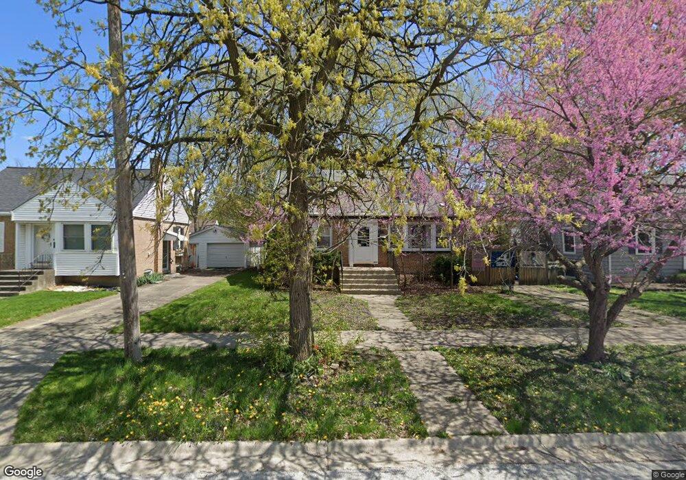
21201 Locust St Matteson, IL 60443
Old Matteson NeighborhoodEstimated Value: $197,000 - $231,000
3
Beds
2
Baths
1,490
Sq Ft
$141/Sq Ft
Est. Value
About This Home
This home is located at 21201 Locust St, Matteson, IL 60443 and is currently estimated at $210,547, approximately $141 per square foot. 21201 Locust St is a home located in Cook County with nearby schools including Illinois School, Matteson Elementary School, and Sauk Elementary School.
Ownership History
Date
Name
Owned For
Owner Type
Purchase Details
Closed on
Sep 8, 2004
Sold by
Paul David E
Bought by
Paul David E and Pedone Shirley E
Current Estimated Value
Purchase Details
Closed on
May 6, 2004
Sold by
Crusius Jeffrey P and Crusius Gina M
Bought by
Paul David E
Home Financials for this Owner
Home Financials are based on the most recent Mortgage that was taken out on this home.
Original Mortgage
$129,000
Outstanding Balance
$61,035
Interest Rate
5.63%
Mortgage Type
Unknown
Estimated Equity
$149,512
Purchase Details
Closed on
Feb 9, 1994
Sold by
Galligan Patrick J and Galligan Jacqueline M
Bought by
Crusius Jeffrey P
Home Financials for this Owner
Home Financials are based on the most recent Mortgage that was taken out on this home.
Original Mortgage
$89,950
Interest Rate
7.22%
Mortgage Type
FHA
Create a Home Valuation Report for This Property
The Home Valuation Report is an in-depth analysis detailing your home's value as well as a comparison with similar homes in the area
Home Values in the Area
Average Home Value in this Area
Purchase History
| Date | Buyer | Sale Price | Title Company |
|---|---|---|---|
| Paul David E | -- | Chicago Title Insurance Comp | |
| Paul David E | $129,000 | Enterprise Land Title Ltd | |
| Crusius Jeffrey P | $60,000 | -- |
Source: Public Records
Mortgage History
| Date | Status | Borrower | Loan Amount |
|---|---|---|---|
| Open | Paul David E | $129,000 | |
| Previous Owner | Crusius Jeffrey P | $89,950 |
Source: Public Records
Tax History Compared to Growth
Tax History
| Year | Tax Paid | Tax Assessment Tax Assessment Total Assessment is a certain percentage of the fair market value that is determined by local assessors to be the total taxable value of land and additions on the property. | Land | Improvement |
|---|---|---|---|---|
| 2024 | $5,656 | $17,000 | $2,860 | $14,140 |
| 2023 | $2,946 | $17,000 | $2,860 | $14,140 |
| 2022 | $2,946 | $8,851 | $2,503 | $6,348 |
| 2021 | $3,036 | $8,850 | $2,502 | $6,348 |
| 2020 | $2,927 | $8,850 | $2,502 | $6,348 |
| 2019 | $3,475 | $10,143 | $2,323 | $7,820 |
| 2018 | $3,471 | $10,143 | $2,323 | $7,820 |
| 2017 | $3,362 | $10,143 | $2,323 | $7,820 |
| 2016 | $3,270 | $9,148 | $2,145 | $7,003 |
| 2015 | $3,180 | $9,148 | $2,145 | $7,003 |
| 2014 | $3,107 | $9,148 | $2,145 | $7,003 |
| 2013 | $3,565 | $10,889 | $2,145 | $8,744 |
Source: Public Records
Map
Nearby Homes
- 21142 Locust St
- 21209 Oak St
- 3718 211th Place
- 3712 214th St
- 549 Homan Ave
- 3727 214th Place Unit 2
- 3704 215th St Unit 205
- 3919 214th St
- 410 Gettysburg St
- 305 Jackson St
- 508 Davis St
- 3809 215th St
- 20852 Greenwood Dr
- 120 Indiana St
- 21607 Main St
- 307 Gettysburg St
- 3135 Nottingham Ct
- 3133 Nottingham Ct
- 3762 216th Place
- 500 Antietam St