21205 Franklin Rd Maple Heights, OH 44137
Estimated Value: $90,000 - $133,000
3
Beds
1
Bath
900
Sq Ft
$121/Sq Ft
Est. Value
About This Home
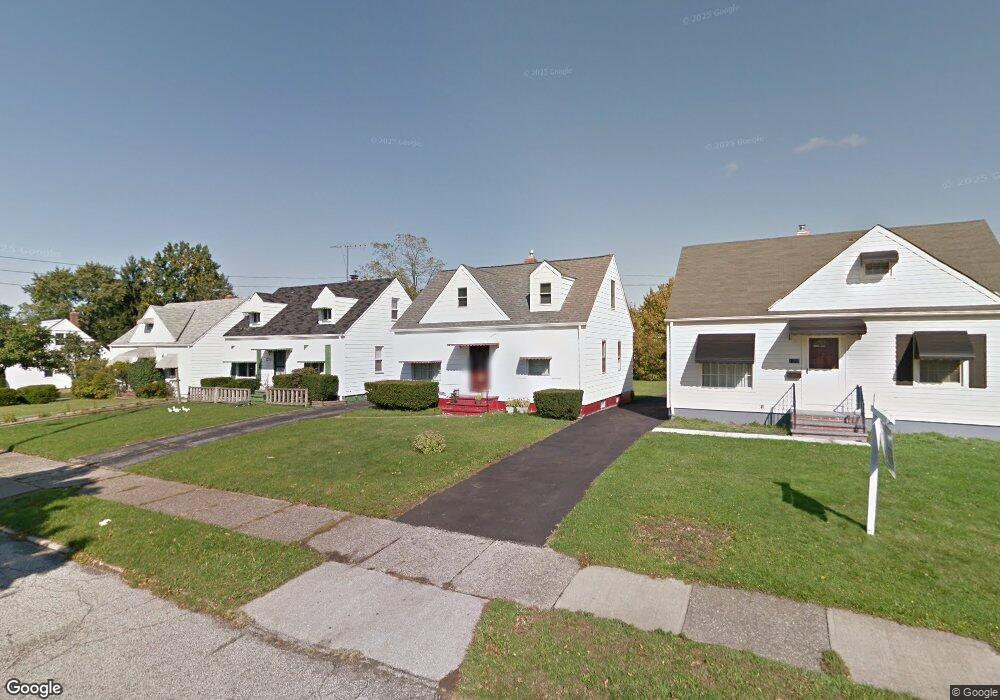
This home is located at 21205 Franklin Rd, Maple Heights, OH 44137 and is currently estimated at $109,133, approximately $121 per square foot. 21205 Franklin Rd is a home located in Cuyahoga County with nearby schools including Abraham Lincoln Elementary School, Rockside/ J.F. Kennedy School, and Barack Obama School.
Ownership History
Date
Name
Owned For
Owner Type
Purchase Details
Closed on
Aug 10, 1987
Sold by
Karl Edward G
Bought by
West Katherine J
Current Estimated Value
Purchase Details
Closed on
Mar 15, 1985
Sold by
Karl Edward G
Bought by
Karl Edward G
Purchase Details
Closed on
Jan 23, 1984
Sold by
Karl Mae
Bought by
Karl Edward G
Purchase Details
Closed on
Jan 1, 1975
Bought by
Karl Mae
Create a Home Valuation Report for This Property
The Home Valuation Report is an in-depth analysis detailing your home's value as well as a comparison with similar homes in the area
Home Values in the Area
Average Home Value in this Area
Purchase History
| Date | Buyer | Sale Price | Title Company |
|---|---|---|---|
| West Katherine J | $39,000 | -- | |
| Karl Edward G | -- | -- | |
| Karl Edward G | -- | -- | |
| Karl Mae | -- | -- |
Source: Public Records
Tax History
| Year | Tax Paid | Tax Assessment Tax Assessment Total Assessment is a certain percentage of the fair market value that is determined by local assessors to be the total taxable value of land and additions on the property. | Land | Improvement |
|---|---|---|---|---|
| 2025 | $1,426 | $26,600 | $7,000 | $19,600 |
| 2024 | $1,602 | $26,600 | $7,000 | $19,600 |
| 2023 | $1,009 | $17,540 | $4,240 | $13,300 |
| 2022 | $1,043 | $17,540 | $4,240 | $13,300 |
| 2021 | $1,105 | $17,540 | $4,240 | $13,300 |
| 2020 | $736 | $13,300 | $3,220 | $10,080 |
| 2019 | $725 | $38,000 | $9,200 | $28,800 |
| 2018 | $641 | $13,300 | $3,220 | $10,080 |
| 2017 | $619 | $12,290 | $2,980 | $9,310 |
| 2016 | $594 | $12,290 | $2,980 | $9,310 |
| 2015 | $1,005 | $12,290 | $2,980 | $9,310 |
| 2014 | $1,005 | $13,520 | $3,260 | $10,260 |
Source: Public Records
Map
Nearby Homes
- 21207 Franklin Rd
- 21202 Hillgrove Ave
- 20905 Clare Ave
- 20814 Clare Ave
- 20806 Clare Ave
- 20715 Watson Rd
- 21202 Gardenview Dr
- 21860 Louis Rd
- 20705 Hansen Rd
- 20600 Watson Rd
- 21607 Libby Rd
- 5147 Warrensville Center Rd
- 19931 Raymond St
- 0 Miles Rd Unit 5188561
- 19910 Mountville Dr
- 5285 Mardale Ave
- 5301 Mardale Ave
- 19520 Maple Heights Blvd
- 19289 Stafford Ave
- 5165 Camden Rd
- 21203 Franklin 2 3ab
- 21203 Franklin Rd
- 21217 Franklin Rd
- 21201 Franklin Rd
- 21301 Franklin Rd
- 21210 Raymond St
- 21214 Raymond St
- 21206 Raymond St
- 21218 Raymond St
- 21202 Raymond St
- 21305 Franklin Rd
- 21113 Franklin Rd
- 21204 Franklin Rd
- 21302 Raymond St
- 21206 Franklin Rd
- 21200 Franklin Rd
- 21309 Franklin Rd
- 21109 Franklin Rd
- 21300 Franklin Rd
- 21306 Raymond St
Your Personal Tour Guide
Ask me questions while you tour the home.