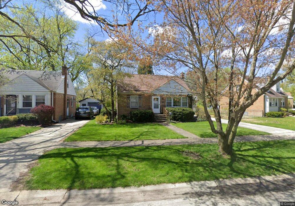
21208 Maple St Matteson, IL 60443
Old Matteson NeighborhoodEstimated Value: $164,000 - $196,000
3
Beds
2
Baths
1,375
Sq Ft
$133/Sq Ft
Est. Value
About This Home
This home is located at 21208 Maple St, Matteson, IL 60443 and is currently estimated at $182,351, approximately $132 per square foot. 21208 Maple St is a home located in Cook County with nearby schools including Illinois School, Matteson Elementary School, and Sauk Elementary School.
Ownership History
Date
Name
Owned For
Owner Type
Purchase Details
Closed on
May 27, 1994
Sold by
Muehlbauer Michael A
Bought by
Muehlbauer Dean L
Current Estimated Value
Home Financials for this Owner
Home Financials are based on the most recent Mortgage that was taken out on this home.
Original Mortgage
$80,000
Interest Rate
8.34%
Create a Home Valuation Report for This Property
The Home Valuation Report is an in-depth analysis detailing your home's value as well as a comparison with similar homes in the area
Home Values in the Area
Average Home Value in this Area
Purchase History
| Date | Buyer | Sale Price | Title Company |
|---|---|---|---|
| Muehlbauer Dean L | $100,000 | -- |
Source: Public Records
Mortgage History
| Date | Status | Borrower | Loan Amount |
|---|---|---|---|
| Closed | Muehlbauer Dean L | $80,000 |
Source: Public Records
Tax History
| Year | Tax Paid | Tax Assessment Tax Assessment Total Assessment is a certain percentage of the fair market value that is determined by local assessors to be the total taxable value of land and additions on the property. | Land | Improvement |
|---|---|---|---|---|
| 2025 | $5,243 | $16,000 | $2,838 | $13,162 |
| 2024 | $5,243 | $16,000 | $2,838 | $13,162 |
| 2023 | $3,476 | $16,000 | $2,838 | $13,162 |
| 2022 | $3,476 | $9,828 | $2,483 | $7,345 |
| 2021 | $3,573 | $9,828 | $2,483 | $7,345 |
| 2020 | $3,426 | $9,828 | $2,483 | $7,345 |
| 2019 | $3,413 | $10,024 | $2,305 | $7,719 |
| 2018 | $3,409 | $10,024 | $2,305 | $7,719 |
| 2017 | $3,303 | $10,024 | $2,305 | $7,719 |
| 2016 | $3,020 | $8,638 | $2,128 | $6,510 |
| 2015 | $2,932 | $8,638 | $2,128 | $6,510 |
| 2014 | $2,866 | $8,638 | $2,128 | $6,510 |
| 2013 | $3,301 | $10,276 | $2,128 | $8,148 |
Source: Public Records
Map
Nearby Homes
- 21142 Locust St
- 3719 211th Place
- 21308 Tower Ave
- 3615 214th St
- 3727 214th Place Unit 2
- 3919 214th St
- 3704 215th St Unit 205
- 21406 S Jean Ave
- 3624 216th St
- 3421 Station Dr
- 888 Woodstock Rd
- 30 Strauss Ln
- 20869 Greenwood Dr
- 126 Indiana St
- 21602 Dogwood Rd Unit 1184
- 831 Violet Ln
- 4022 Richmond Ct
- 21617 Dogwood Rd Unit 1125
- 21616 Richmond Rd
- 21635 Dogwood Rd Unit 1165
- 21212 Maple St
- 21202 Maple St
- 21216 Maple St
- 21150 Maple St
- 21148 Maple St
- 21220 Maple St
- 21207 Maple St
- 21211 Maple St
- 21201 Maple St
- 21153 Maple St
- 21155 Maple St
- 21146 Maple St
- 21224 Maple St
- 21217 Maple St
- 21144 Maple St
- 3704 212th Place
- 21151 Maple St
- 21141 Maple St
- 21228 Maple St
- 21208 Locust St
Your Personal Tour Guide
Ask me questions while you tour the home.