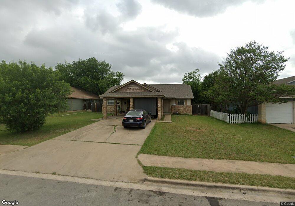
2121 Andover Dr Unit 2123 Round Rock, TX 78664
Stony Point NeighborhoodEstimated Value: $327,660 - $435,000
--
Bed
2
Baths
1,666
Sq Ft
$242/Sq Ft
Est. Value
About This Home
This home is located at 2121 Andover Dr Unit 2123, Round Rock, TX 78664 and is currently estimated at $403,165, approximately $241 per square foot. 2121 Andover Dr Unit 2123 is a home located in Williamson County with nearby schools including Union Hill Elementary School, Hernandez Middle School, and Stony Point High IB World School.
Ownership History
Date
Name
Owned For
Owner Type
Purchase Details
Closed on
May 29, 2018
Sold by
Arguijo Felix and Arguijo Aluson
Bought by
Fcf Ventures Llc
Current Estimated Value
Purchase Details
Closed on
May 16, 2016
Sold by
Hudson Stuart W
Bought by
Arguljo Felix and Arguijo Alyson
Home Financials for this Owner
Home Financials are based on the most recent Mortgage that was taken out on this home.
Original Mortgage
$140,400
Interest Rate
3.59%
Mortgage Type
Purchase Money Mortgage
Purchase Details
Closed on
May 19, 2006
Sold by
Lanigan Claudia
Bought by
Davis Karen S
Create a Home Valuation Report for This Property
The Home Valuation Report is an in-depth analysis detailing your home's value as well as a comparison with similar homes in the area
Home Values in the Area
Average Home Value in this Area
Purchase History
| Date | Buyer | Sale Price | Title Company |
|---|---|---|---|
| Fcf Ventures Llc | -- | None Available | |
| Arguljo Felix | -- | Itc | |
| Davis Karen S | -- | Landamerica Commonwealth Tit |
Source: Public Records
Mortgage History
| Date | Status | Borrower | Loan Amount |
|---|---|---|---|
| Previous Owner | Arguljo Felix | $140,400 |
Source: Public Records
Tax History Compared to Growth
Tax History
| Year | Tax Paid | Tax Assessment Tax Assessment Total Assessment is a certain percentage of the fair market value that is determined by local assessors to be the total taxable value of land and additions on the property. | Land | Improvement |
|---|---|---|---|---|
| 2025 | $6,498 | $350,607 | $77,000 | $273,607 |
| 2024 | $6,498 | $366,838 | $77,000 | $289,838 |
| 2023 | $6,373 | $363,348 | $77,000 | $286,348 |
| 2022 | $7,453 | $393,019 | $77,000 | $316,019 |
| 2021 | $6,642 | $295,880 | $59,000 | $236,880 |
| 2020 | $5,698 | $252,396 | $53,278 | $199,118 |
| 2019 | $5,618 | $243,350 | $48,600 | $194,750 |
| 2018 | $5,025 | $217,647 | $41,730 | $175,917 |
| 2017 | $4,550 | $193,123 | $39,000 | $154,123 |
| 2016 | $3,992 | $169,453 | $39,000 | $130,453 |
| 2015 | $2,970 | $163,453 | $33,000 | $130,453 |
| 2014 | $2,970 | $126,237 | $0 | $0 |
Source: Public Records
Map
Nearby Homes
- 409 Cypress Ln
- 609 Clearwater Trail
- 800 Saunders Dr
- 1910 Andover Dr
- 515 Sierra Cove
- 812 Saunders Dr
- 712 Clearwater Trail
- 2008 Meadow Brook Dr
- 310 Barrhall Dr
- 909 Clearwater Trail
- 2407 Curry Loop Unit A
- 1703 Greyson Dr
- 1481 E Old Settlers Blvd Unit 1503
- 1481 E Old Settlers Blvd Unit 1801
- 2011 Buckley Ln
- 2606 Bradley Ln
- 2412 Hallie Way
- 1604 Wildflower Dr
- 2123 Jester Farms
- 1800 Nicole Cir Unit A
- 2125 Andover Dr
- 2119 Andover Dr
- 2125 Andover Dr Unit 2127
- 2117 Andover Dr
- 2129 Andover Dr
- 2131 Andover Dr
- 2294 Misty Morning Way Unit B
- 2294 Misty Morning Way
- 2294 Misty Morning Way Unit A&B
- 2294 Misty Morning Way Unit A
- 2129 Andover Dr Unit 2131
- 601 Misty Morning Way Unit B
- 601 Misty Morning Way Unit A
- 601 Misty Morning Way
- 601 Misty Morning Way Unit A & B
- 2296 Misty Morning Way Unit A
- 2296 Misty Morning Way
- 2296 Misty Morning Way Unit B
- 2124 Andover Dr Unit 2126
- 2120 Andover Dr Unit 2122