2121 Bowstring Dr Las Vegas, NV 89142
Estimated Value: $307,000 - $399,000
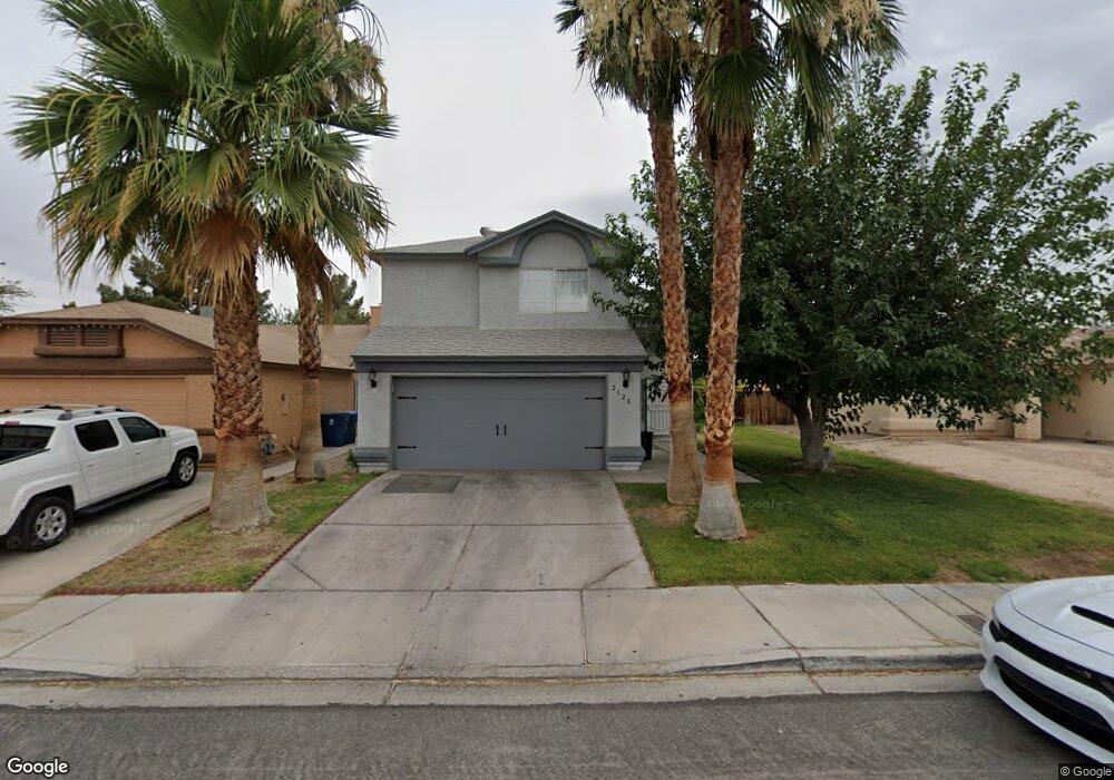
About This Home
This home is located at 2121 Bowstring Dr, Las Vegas, NV 89142 and is currently estimated at $353,415, approximately $234 per square foot. 2121 Bowstring Dr is a home located in Clark County with nearby schools including John F. Mendoza Elementary School, Duane D. Keller Middle School, and Las Vegas High School.
Ownership History
We collect this data history from publicly available records. To have your information removed, we recommend requesting removal directly through your county’s website.
Purchase Details
Home Financials for this Owner
Home Financials are based on the most recent Mortgage that was taken out on this home.Purchase Details
Home Financials for this Owner
Home Financials are based on the most recent Mortgage that was taken out on this home.Purchase Details
Purchase Details
Home Financials for this Owner
Home Financials are based on the most recent Mortgage that was taken out on this home.Purchase Details
Home Values in the Area
Average Home Value in this Area
Purchase History
We collect this data history from publicly available records. To have your information removed, we recommend requesting removal directly through your county’s website.
| Date | Buyer | Sale Price | Title Company |
|---|---|---|---|
| -- | Stewart Title | ||
| $137,000 | Stewart Title | ||
| -- | -- | ||
| $116,000 | United Title | ||
| -- | -- |
Mortgage History
We collect this data history from publicly available records. To have your information removed, we recommend requesting removal directly through your county’s website.
| Date | Status | Borrower | Loan Amount |
|---|---|---|---|
| Open | $132,914 | ||
| Previous Owner | $115,822 |
Tax History
We collect this data history from publicly available records. To have your information removed, we recommend requesting removal directly through your county’s website.
| Year | Tax Paid | Tax Assessment Tax Assessment Total Assessment is a certain percentage of the fair market value that is determined by local assessors to be the total taxable value of land and additions on the property. | Land | Improvement |
|---|---|---|---|---|
| 2026 | $948 | $62,430 | $23,100 | $39,330 |
| 2025 | $874 | $61,759 | $23,100 | $38,659 |
| 2024 | $850 | $61,759 | $23,100 | $38,659 |
| 2023 | $850 | $63,323 | $26,250 | $37,073 |
| 2022 | $825 | $55,492 | $21,350 | $34,142 |
| 2021 | $801 | $52,667 | $19,950 | $32,717 |
| 2020 | $775 | $51,585 | $18,900 | $32,685 |
| 2019 | $752 | $46,687 | $14,350 | $32,337 |
| 2018 | $730 | $44,361 | $13,300 | $31,061 |
| 2017 | $1,234 | $42,071 | $10,500 | $31,571 |
| 2016 | $693 | $39,740 | $7,700 | $32,040 |
| 2015 | $690 | $29,765 | $5,600 | $24,165 |
| 2014 | $670 | $24,104 | $5,250 | $18,854 |
Map
- 1997 Crowley Way
- 2265 Seahurst Dr
- 5574 Ballinger Dr
- 5539 Ballinger Dr
- 1925 Falcon Ridge St
- 5650 E Sahara Ave Unit 1037
- 5650 E Sahara Ave Unit 2023
- 5650 E Sahara Ave Unit 2047
- 1707 Foxglove Dr
- 1745 Starridge Way
- 1702 Mapleleaf St
- 5655 E Sahara Ave Unit 1071
- 1909 Dry Falls St
- 5391 Aston Ave
- 2496 Abarth St
- 1603 Teardrop St
- 1747 Angel Falls St
- 5686 Roundrock Dr
- 2484 Anglia St
- 1487 Elaine Dr
- 2090 Bowstring Dr
- 2080 Bowstring Dr
- 2120 Bowstring Dr
- 5708 Baffy Cir
- 2070 Bowstring Dr
- 2130 Bowstring Dr
- 5699 Akron Ct
- 5709 Akron Ct
- 5718 Baffy Cir
- 2060 Bowstring Dr
- 2150 Bowstring Dr
- 5717 Akron Ct
- 2121 Bowstring Dr
- 2081 Bowstring Dr
- 5728 Baffy Cir
- 2131 Bowstring Dr
- 2071 Bowstring Dr
- 5717 Baffy Cir
- 5727 Akron Ct
- 2050 Bowstring Dr
Ask me questions while you tour the home.