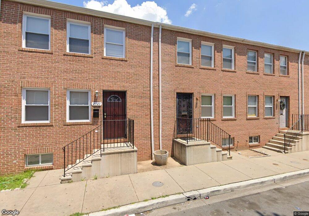
2121 Brunt St Baltimore, MD 21217
Druid Heights NeighborhoodEstimated Value: $96,000
Studio
2
Baths
576
Sq Ft
$167/Sq Ft
Est. Value
About This Home
This home is located at 2121 Brunt St, Baltimore, MD 21217 and is currently estimated at $96,000, approximately $166 per square foot. 2121 Brunt St is a home located in Baltimore City with nearby schools including Sandtown-Winchester Achievement Academy, Booker T. Washington Middle School, and Frederick Douglass High School.
Ownership History
Date
Name
Owned For
Owner Type
Purchase Details
Closed on
Oct 22, 2015
Sold by
Dominion Rental Holdings Llc
Bought by
Lime Street Real Estate Llc Series 24
Current Estimated Value
Purchase Details
Closed on
Aug 25, 2015
Sold by
Kiewe Roy A
Bought by
Dominion Rental Holdings Llc
Purchase Details
Closed on
Jan 26, 1998
Sold by
Druid Heights Community
Bought by
O'Briant Betty J
Purchase Details
Closed on
Jun 14, 1996
Sold by
Mayor & City Council
Bought by
Mayor & City Council
Create a Home Valuation Report for This Property
The Home Valuation Report is an in-depth analysis detailing your home's value as well as a comparison with similar homes in the area
Home Values in the Area
Average Home Value in this Area
Purchase History
| Date | Buyer | Sale Price | Title Company |
|---|---|---|---|
| Lime Street Real Estate Llc Series 24 | $45,000 | Eagle Premier Title Group Ll | |
| Dominion Rental Holdings Llc | $31,000 | None Available | |
| O'Briant Betty J | $52,267 | -- | |
| Mayor & City Council | -- | -- |
Source: Public Records
Tax History
| Year | Tax Paid | Tax Assessment Tax Assessment Total Assessment is a certain percentage of the fair market value that is determined by local assessors to be the total taxable value of land and additions on the property. | Land | Improvement |
|---|---|---|---|---|
| 2025 | $924 | $42,000 | $9,000 | $33,000 |
| 2024 | $924 | $39,333 | -- | -- |
| 2023 | $861 | $36,667 | $0 | $0 |
| 2022 | $802 | $34,000 | $7,000 | $27,000 |
| 2021 | $771 | $32,667 | $0 | $0 |
| 2020 | $739 | $31,333 | $0 | $0 |
| 2019 | $705 | $30,000 | $7,000 | $23,000 |
| 2018 | $708 | $30,000 | $7,000 | $23,000 |
| 2017 | $708 | $30,000 | $0 | $0 |
| 2016 | $1,187 | $70,200 | $0 | $0 |
| 2015 | $1,187 | $63,500 | $0 | $0 |
| 2014 | $1,187 | $56,800 | $0 | $0 |
Source: Public Records
Map
Nearby Homes
- 2120 Division St
- 2130 Division St
- 2121 Division St
- 554 Gold St
- 2023 Division St
- 2023 Etting St
- 2014 Etting St
- 2008 Etting St
- 2141 Druid Hill Ave
- 2143 Druid Hill Ave
- 1449 N Carey St
- 1501 N Carey St
- 1521 N Carey St
- 1916 Division St
- 1907 Brunt St
- 2020 Mcculloh St
- 1902 Division St
- 1550 N Carey St
- 2103 Mcculloh St
- 1552 N Carey St
- 2123 Brunt St
- 2119 Brunt St
- 2133 Brunt St
- 2117 Brunt St
- 2138 Division St
- 2115 Brunt St
- 2132 Division St
- 2128 Division St
- 2134 Division St
- 2113 Brunt St
- 2124 Brunt St
- 2126 Division St
- 2122 Brunt St
- 2126 Brunt St
- 2136 Division St
- 2124 Division St
- 2120 Brunt St
- 2128 Brunt St
- 2122 Division St
- 2118 Brunt St
Your Personal Tour Guide
Ask me questions while you tour the home.