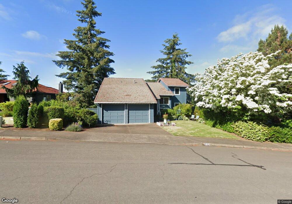
2121 Greene St West Linn, OR 97068
Tanner Basin NeighborhoodEstimated Value: $973,466 - $1,072,000
6
Beds
3
Baths
3,771
Sq Ft
$268/Sq Ft
Est. Value
About This Home
This home is located at 2121 Greene St, West Linn, OR 97068 and is currently estimated at $1,011,117, approximately $268 per square foot. 2121 Greene St is a home located in Clackamas County with nearby schools including Willamette Primary School, Athey Creek Middle School, and West Linn High School.
Ownership History
Date
Name
Owned For
Owner Type
Purchase Details
Closed on
Sep 6, 2005
Sold by
Harrod Gregg Daniel and Harrod Teri Ann
Bought by
Comard Matthew J and Comard Tamorah A
Current Estimated Value
Home Financials for this Owner
Home Financials are based on the most recent Mortgage that was taken out on this home.
Original Mortgage
$465,600
Outstanding Balance
$242,066
Interest Rate
5.5%
Mortgage Type
Fannie Mae Freddie Mac
Estimated Equity
$769,051
Create a Home Valuation Report for This Property
The Home Valuation Report is an in-depth analysis detailing your home's value as well as a comparison with similar homes in the area
Home Values in the Area
Average Home Value in this Area
Purchase History
| Date | Buyer | Sale Price | Title Company |
|---|---|---|---|
| Comard Matthew J | $582,000 | Ticor Title Insurance Compan |
Source: Public Records
Mortgage History
| Date | Status | Borrower | Loan Amount |
|---|---|---|---|
| Open | Comard Matthew J | $465,600 |
Source: Public Records
Tax History Compared to Growth
Tax History
| Year | Tax Paid | Tax Assessment Tax Assessment Total Assessment is a certain percentage of the fair market value that is determined by local assessors to be the total taxable value of land and additions on the property. | Land | Improvement |
|---|---|---|---|---|
| 2025 | $11,286 | $585,619 | -- | -- |
| 2024 | $10,863 | $568,563 | -- | -- |
| 2023 | $10,863 | $552,003 | $0 | $0 |
| 2022 | $10,254 | $535,926 | $0 | $0 |
| 2021 | $9,579 | $520,317 | $0 | $0 |
| 2020 | $9,490 | $505,163 | $0 | $0 |
| 2019 | $9,093 | $490,450 | $0 | $0 |
| 2018 | $8,656 | $476,165 | $0 | $0 |
| 2017 | $8,292 | $462,296 | $0 | $0 |
| 2016 | $7,937 | $448,831 | $0 | $0 |
| 2015 | $7,583 | $435,758 | $0 | $0 |
| 2014 | $7,174 | $423,066 | $0 | $0 |
Source: Public Records
Map
Nearby Homes
- 1950 Hall St
- 1925 Hall St
- 1808 Hall Ct
- 2378 Falcon Dr
- 2311 Falcon Dr
- 4650 Summerlinn Way
- 4630 Summerlinn Way
- 23136 Bland Cir
- 1791 Blankenship Rd
- 2026 Virginia Ln
- 3850 Summerlinn Dr Unit 58
- 6505 Summerlinn Way Unit 79
- 6735 Summerlinn Way Unit 87
- 6840 Summerlinn Way Unit 93
- 1931 13th St
- 3565 Summerlinn Dr Unit 64
- 2315 5th Ave
- 23019 Bland Cir
- 850 Springtree Ln Unit 850
- 3395 Summerlinn Dr Unit 24
- 2119 Greene St
- 2125 Greene St
- 2117 Greene St
- 1806 Barnes Cir
- 2115 Greene St
- 1816 Barnes Cir
- 1818 Barnes Cir
- 2113 Greene St
- 2131 Greene St
- 1803 Barnes Cr
- 1803 Barnes Cir
- 2111 Greene St
- 1820 Barnes Cir
- 2233 Greene St
- 1805 Barnes Cir
- 1811 Barnes Cir
- 2236 Greene St
- 2109 Greene St(relisted)
- 2109 Greene St Relisted
- 2235 Greene St