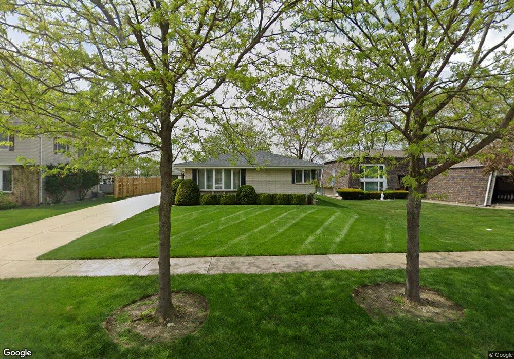
2121 Leness Ln Crest Hill, IL 60403
Estimated Value: $244,960 - $275,000
Studio
--
Bath
--
Sq Ft
9,583
Sq Ft Lot
About This Home
This home is located at 2121 Leness Ln, Crest Hill, IL 60403 and is currently estimated at $264,490. 2121 Leness Ln is a home located in Will County with nearby schools including Richland Elementary School, Richland Jr High School, and Lockport Township High School East.
Ownership History
Date
Name
Owned For
Owner Type
Purchase Details
Closed on
Jan 12, 2023
Sold by
Westphal Barbara J and Westphal Baron S
Bought by
Westphal Family Land Trust
Current Estimated Value
Purchase Details
Closed on
Jan 24, 2018
Sold by
Westphal Barbara J and Westphal Baron Stuart
Bought by
Westphal Barbara J and Westphal Baron Stuart
Purchase Details
Closed on
Apr 12, 1994
Sold by
Lewandowski Vincent J
Bought by
Lewandowski Barbara J
Home Financials for this Owner
Home Financials are based on the most recent Mortgage that was taken out on this home.
Original Mortgage
$55,000
Interest Rate
7.66%
Create a Home Valuation Report for This Property
The Home Valuation Report is an in-depth analysis detailing your home's value as well as a comparison with similar homes in the area
Home Values in the Area
Average Home Value in this Area
Purchase History
| Date | Buyer | Sale Price | Title Company |
|---|---|---|---|
| Westphal Family Land Trust | -- | -- | |
| Westphal Barbara J | -- | Attorney | |
| Lewandowski Barbara J | -- | -- |
Source: Public Records
Mortgage History
| Date | Status | Borrower | Loan Amount |
|---|---|---|---|
| Previous Owner | Lewandowski Barbara J | $55,000 |
Source: Public Records
Tax History
| Year | Tax Paid | Tax Assessment Tax Assessment Total Assessment is a certain percentage of the fair market value that is determined by local assessors to be the total taxable value of land and additions on the property. | Land | Improvement |
|---|---|---|---|---|
| 2024 | $5,414 | $83,070 | $21,193 | $61,877 |
| 2023 | $5,414 | $74,576 | $19,026 | $55,550 |
| 2022 | $5,013 | $70,956 | $18,102 | $52,854 |
| 2021 | $4,829 | $66,682 | $17,012 | $49,670 |
| 2020 | $4,680 | $64,490 | $16,453 | $48,037 |
| 2019 | $4,399 | $61,128 | $15,595 | $45,533 |
| 2018 | $4,010 | $55,408 | $14,136 | $41,272 |
| 2017 | $3,759 | $52,307 | $13,345 | $38,962 |
| 2016 | $4,030 | $49,022 | $12,507 | $36,515 |
| 2015 | $3,786 | $46,643 | $11,900 | $34,743 |
| 2014 | $3,786 | $44,422 | $11,333 | $33,089 |
| 2013 | $3,786 | $45,796 | $11,684 | $34,112 |
Source: Public Records
Map
Nearby Homes
- 2117 Leness Ln
- 1824 Plainfield Rd
- LOTS 4 & 5 Plainfield Rd
- 2213 Weber Rd
- 1928 Sybil Dr
- 2317 Hess Dr
- 1424 Root St
- 2357 Caton Farm Rd
- 21401 Prestwick Dr
- 2334 Carnation Dr Unit 320B
- 205 Foxtail Ct
- 200 Foxtail Ct
- Vacant Heiden Ave
- 2300 Gaylord Rd
- 2385 Jorie Ct
- Vacant Lot Parcel 04 Heiden Ave
- 1510 N Rock Run Dr Unit 2A
- 1500 N Rock Run Dr Unit 2D
- 1484 N Rock Run Dr Unit 3C
- 1472 N Rock Run Dr Unit 1B
Your Personal Tour Guide
Ask me questions while you tour the home.