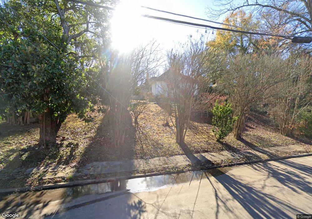
2121 Mchenry Cir Malvern, AR 72104
Estimated Value: $88,173 - $129,000
Studio
1
Bath
1,066
Sq Ft
$106/Sq Ft
Est. Value
About This Home
This home is located at 2121 Mchenry Cir, Malvern, AR 72104 and is currently estimated at $112,543, approximately $105 per square foot. 2121 Mchenry Cir is a home located in Hot Spring County with nearby schools including Malvern Elementary School, Malvern Junior High School, and Wilson Intermediate School.
Ownership History
Date
Name
Owned For
Owner Type
Purchase Details
Closed on
Apr 1, 2013
Sold by
Rice Randy C and Bailey Lezlee Rhea
Bought by
Rice Randy C
Current Estimated Value
Home Financials for this Owner
Home Financials are based on the most recent Mortgage that was taken out on this home.
Original Mortgage
$69,727
Outstanding Balance
$31,942
Interest Rate
3.67%
Estimated Equity
$80,601
Purchase Details
Closed on
Mar 1, 2000
Bought by
Rice Randy C and Rice Lezlee R
Purchase Details
Closed on
Aug 27, 1998
Bought by
Porterfield David F and Porterfield Elizabeth
Purchase Details
Closed on
Apr 22, 1997
Bought by
Porterfield David F and Porterfield Elizabeth
Purchase Details
Closed on
Apr 8, 1996
Bought by
Porterfield Andrew Lea
Purchase Details
Closed on
Apr 18, 1994
Bought by
Porterfield A L and K L
Purchase Details
Closed on
Apr 26, 1993
Bought by
Porterfield David and Porterfield Elizabeth
Purchase Details
Closed on
Dec 1, 1992
Bought by
Fmha
Create a Home Valuation Report for This Property
The Home Valuation Report is an in-depth analysis detailing your home's value as well as a comparison with similar homes in the area
Purchase History
We collect this data history from publicly available records. To have your information removed, we recommend requesting removal directly through your county’s website.
| Date | Buyer | Sale Price | Title Company |
|---|---|---|---|
| Rice Randy C | -- | -- | |
| Rice Randy C | $54,000 | -- | |
| Porterfield David F | -- | -- | |
| Porterfield David F | -- | -- | |
| Porterfield Andrew Lea | -- | -- | |
| Porterfield A L | $28,000 | -- | |
| Porterfield David | $22,300 | -- | |
| Fmha | -- | -- |
Source: Public Records
Mortgage History
We collect this data history from publicly available records. To have your information removed, we recommend requesting removal directly through your county’s website.
| Date | Status | Borrower | Loan Amount |
|---|---|---|---|
| Open | Rice Randy C | $69,727 |
Source: Public Records
Tax History
| Year | Tax Paid | Tax Assessment Tax Assessment Total Assessment is a certain percentage of the fair market value that is determined by local assessors to be the total taxable value of land and additions on the property. | Land | Improvement |
|---|---|---|---|---|
| 2025 | $23 | $13,825 | $1,950 | $11,875 |
| 2024 | $123 | $13,825 | $1,950 | $11,875 |
| 2023 | $198 | $13,825 | $1,950 | $11,875 |
| 2022 | $248 | $13,825 | $1,950 | $11,875 |
| 2021 | $248 | $13,825 | $1,950 | $11,875 |
| 2020 | $248 | $14,315 | $1,440 | $12,875 |
| 2019 | $248 | $14,315 | $1,440 | $12,875 |
| 2018 | $273 | $14,315 | $1,440 | $12,875 |
| 2017 | $273 | $14,315 | $1,440 | $12,875 |
| 2016 | $585 | $11,007 | $1,300 | $9,707 |
| 2015 | $229 | $10,895 | $1,300 | $9,595 |
| 2014 | $229 | $10,895 | $1,300 | $9,595 |
Source: Public Records
Map
Nearby Homes
- 1520 Maple St
- 1710 Royal Oaks Dr
- 1721 Regency Dr
- 1310 Roosevelt St
- 1808 Royal Oaks Dr
- 1024 Roosevelt St
- 1507 E Highland Ave
- 1501 E Highland Ave
- 1028 Lincoln St
- 2135 Pine Hill Cir
- 23 Pine Dr
- 1027 Jefferson St
- 1638 Circle Dr
- 823 Cherry Ln
- 2111 Jones St
- 1025 Edwards St
- 2119 Sulton St
- 1013 Willow St
- 509 Cherry Ln
- 1703 Evans St
- 2203 Mchenry Cir
- 2119 Mchenry Cir
- 1605 Linda Ln
- 2204 Mchenry Cir
- 2215 Mchenry Cir
- 1317 Owen St
- 1207 Linda Ln
- 2105 Mchenry Cir
- 1223 Owen St
- 2223 Mchenry Cir
- 1212 Linda Ln
- 1205 Linda Ln
- 1218 Owen St
- 2226 Mchenry Cir
- 2145 E Sullenberger Ave
- 0 Owen St
- 1204 Linda Ln
- 1203 Linda Ln
- 1233 Mimosa St
- 1239 Mimosa St
Your Personal Tour Guide
Ask me questions while you tour the home.