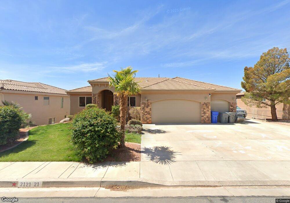
2121 N Gunsight Dr Saint George, UT 84770
Estimated Value: $657,000 - $820,000
3
Beds
4
Baths
1,837
Sq Ft
$405/Sq Ft
Est. Value
About This Home
This home is located at 2121 N Gunsight Dr, Saint George, UT 84770 and is currently estimated at $744,320, approximately $405 per square foot. 2121 N Gunsight Dr is a home located in Washington County with nearby schools including Snow Canyon Middle School, Diamond Valley School, and Lava Ridge Intermediate School.
Ownership History
Date
Name
Owned For
Owner Type
Purchase Details
Closed on
May 7, 2021
Sold by
Farnsworth Richard Eugene and Farnsworth Heather Lynn
Bought by
Adams Jason L and Adams Stephanie M
Current Estimated Value
Home Financials for this Owner
Home Financials are based on the most recent Mortgage that was taken out on this home.
Original Mortgage
$410,000
Outstanding Balance
$371,562
Interest Rate
3.1%
Mortgage Type
New Conventional
Estimated Equity
$372,758
Create a Home Valuation Report for This Property
The Home Valuation Report is an in-depth analysis detailing your home's value as well as a comparison with similar homes in the area
Home Values in the Area
Average Home Value in this Area
Purchase History
| Date | Buyer | Sale Price | Title Company |
|---|---|---|---|
| Adams Jason L | -- | Rampart Title Ins |
Source: Public Records
Mortgage History
| Date | Status | Borrower | Loan Amount |
|---|---|---|---|
| Open | Adams Jason L | $410,000 |
Source: Public Records
Tax History Compared to Growth
Tax History
| Year | Tax Paid | Tax Assessment Tax Assessment Total Assessment is a certain percentage of the fair market value that is determined by local assessors to be the total taxable value of land and additions on the property. | Land | Improvement |
|---|---|---|---|---|
| 2025 | $2,803 | $425,095 | $112,200 | $312,895 |
| 2023 | $2,637 | $394,020 | $105,600 | $288,420 |
| 2022 | $2,877 | $404,195 | $99,000 | $305,195 |
| 2021 | $2,680 | $561,500 | $150,000 | $411,500 |
| 2020 | $2,490 | $491,400 | $120,000 | $371,400 |
| 2019 | $2,513 | $484,500 | $120,000 | $364,500 |
| 2018 | $2,397 | $238,645 | $0 | $0 |
| 2017 | $2,348 | $226,930 | $0 | $0 |
| 2016 | $2,585 | $231,055 | $0 | $0 |
| 2015 | $2,504 | $214,775 | $0 | $0 |
| 2014 | $2,367 | $204,270 | $0 | $0 |
Source: Public Records
Map
Nearby Homes
- 2294 N Gunsight Dr
- 1996 W 1940 N
- 2090 N Tuweap Dr Unit 13
- 2090 N Tuweap Dr Unit 9
- 2090 N Tuweap Dr Unit 15
- 2090 N Tuweap Dr Unit 56
- 1989 W 1800 N
- 2195 W 1970 Cir N
- 2085 N Tuweap Dr Unit 32
- 2085 N Tuweap Dr
- 2085 N Tuweap Dr Unit 45
- 1756 N 2065 W
- 1708 N 1975 W
- 2139 W Cougar Rock Cir Unit 192
- 2139 W Cougar Rock Cir
- 2139 W Cougar Rock Cir Unit 131
- 2139 W Cougar Rock Cir Unit 179
- 2139 W Cougar Rock Cir Unit 135
- 2139 W Cougar Rock Cir Unit 192
- 2139 W Cougar Rock Cir Unit 195
- 2109 N Gunsight Dr
- 2133 N Gunsight Dr
- 2097 N Gunsight Dr
- 2139 N Gunsight Dr
- 2126 N Gunsight Dr
- 2126 N Gunsight Dr Unit Lot 87
- 2114 N Gunsight Dr
- 2102 N Gunsight Dr
- 2085 N Gunsight Dr
- 2140 N Gunsight Dr
- 2147 N Gunsight Dr
- 2090 N Gunsight Dr
- 2073 N Gunsight Dr
- 2152 N Gunsight Dr
- 2141 N Lone Rock Dr Unit 64
- 2141 N Lone Rock Dr
- 2153 Lone Rock Dr
- 2129 N Lone Rock Dr
- 2129 Lone Rock Dr
- 2078 N Gunsight Dr