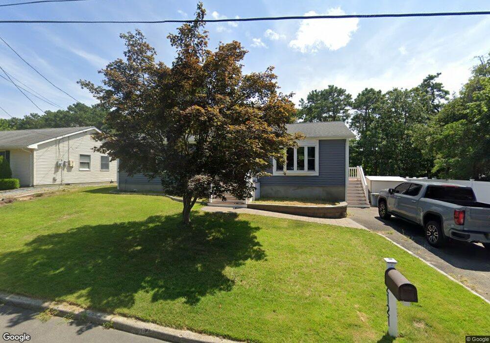
2121 Parkside Dr Forked River, NJ 08731
Lacey Township NeighborhoodEstimated Value: $456,000
3
Beds
2
Baths
1,323
Sq Ft
$345/Sq Ft
Est. Value
About This Home
This home is located at 2121 Parkside Dr, Forked River, NJ 08731 and is currently estimated at $456,000, approximately $344 per square foot. 2121 Parkside Dr is a home located in Ocean County with nearby schools including Lacey Township High School.
Ownership History
Date
Name
Owned For
Owner Type
Purchase Details
Closed on
Jun 21, 2010
Sold by
Kaliske Dolores
Current Estimated Value
Home Financials for this Owner
Home Financials are based on the most recent Mortgage that was taken out on this home.
Original Mortgage
$212,636
Outstanding Balance
$144,453
Interest Rate
5.25%
Mortgage Type
FHA
Estimated Equity
$311,548
Create a Home Valuation Report for This Property
The Home Valuation Report is an in-depth analysis detailing your home's value as well as a comparison with similar homes in the area
Home Values in the Area
Average Home Value in this Area
Purchase History
| Date | Buyer | Sale Price | Title Company |
|---|---|---|---|
| -- | $215,500 | None Available |
Source: Public Records
Mortgage History
| Date | Status | Borrower | Loan Amount |
|---|---|---|---|
| Open | -- | $212,636 |
Source: Public Records
Tax History Compared to Growth
Tax History
| Year | Tax Paid | Tax Assessment Tax Assessment Total Assessment is a certain percentage of the fair market value that is determined by local assessors to be the total taxable value of land and additions on the property. | Land | Improvement |
|---|---|---|---|---|
| 2025 | $5,628 | $222,100 | $81,000 | $141,100 |
| 2024 | $5,262 | $222,100 | $81,000 | $141,100 |
| 2023 | $5,026 | $222,100 | $81,000 | $141,100 |
| 2022 | $5,026 | $222,100 | $81,000 | $141,100 |
| 2021 | $4,942 | $222,100 | $81,000 | $141,100 |
| 2020 | $4,784 | $222,100 | $81,000 | $141,100 |
| 2019 | $4,700 | $222,100 | $81,000 | $141,100 |
| 2018 | $4,644 | $222,100 | $81,000 | $141,100 |
| 2017 | $4,542 | $222,300 | $81,000 | $141,300 |
| 2016 | $4,524 | $222,300 | $81,000 | $141,300 |
| 2015 | $4,322 | $222,300 | $81,000 | $141,300 |
| 2014 | $3,956 | $230,000 | $121,000 | $109,000 |
Source: Public Records
Map
Nearby Homes
- 1988 Brookdale Dr
- 11 Portsmouth Dr
- 1972 Glen Oak Dr
- 42 Canterbury Dr
- 1991 Glen Oak Dr
- 1800 Ravine Dr
- 1490 Earie Way
- 1533 Arient Rd
- 1445 Argonne Ave
- 0000 Earie Way
- 1515 Clair Rd
- 1427 Foch Ave
- 882 Harrison Ave
- 913 Tappan St
- 576 Vaughn Ave
- 930 Tappan St
- 605 Windsor St
- 483 Lake Barnegat Dr S
- 1409 Kay St
- 822 Tappan St
- 2125 Parkside Dr
- 2117 Parkside Dr
- 2115 Parkside Dr
- 4 Devon Place
- 2131 Brightwood Dr
- 2113 Parkside Dr
- 3 Devon Place
- 2124 Parkside Dr
- 2134 Brightwood Dr
- 5 Devon Place
- 2127 Parkside Dr
- 2 Devon Place
- 2112 Parkside Dr
- 2130 Llewellyn Pkwy
- 2132 Llewellyn Pkwy
- 1 Devon Place
- 2109 Parkside Dr
- 6 Devon Place
- 2134 Llewellyn Pkwy
- 2135 Brightwood Dr