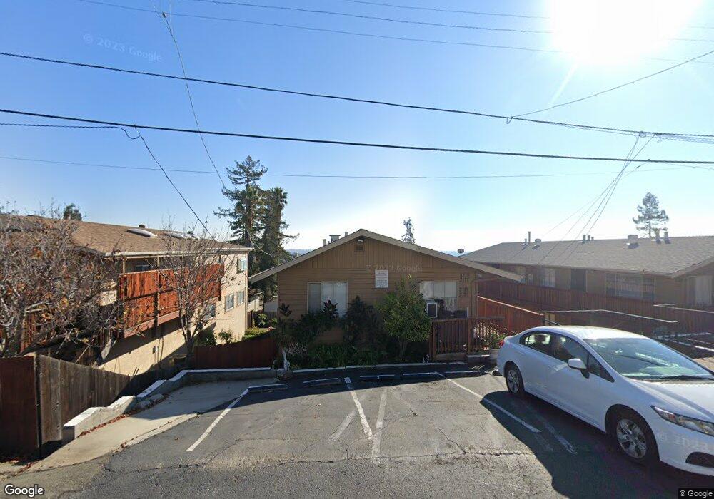
2121 Placer Dr San Leandro, CA 94578
Bay-O-Vista NeighborhoodEstimated Value: $754,000 - $1,735,000
About This Home
This home is located at 2121 Placer Dr, San Leandro, CA 94578 and is currently estimated at $1,112,333, approximately $430 per square foot. 2121 Placer Dr is a home located in Alameda County with nearby schools including Corvallis Elementary School, Edendale Middle, and San Lorenzo High School.
Ownership History
We collect this data history from publicly available records. To have your information removed, we recommend requesting removal directly through your county’s website.
Purchase Details
Purchase Details
Purchase Details
Purchase Details
Home Values in the Area
Average Home Value in this Area
Purchase History
We collect this data history from publicly available records. To have your information removed, we recommend requesting removal directly through your county’s website.
| Date | Buyer | Sale Price | Title Company |
|---|---|---|---|
| -- | None Available | ||
| -- | None Available | ||
| -- | None Available | ||
| $82,000 | -- |
Tax History
We collect this data history from publicly available records. To have your information removed, we recommend requesting removal directly through your county’s website.
| Year | Tax Paid | Tax Assessment Tax Assessment Total Assessment is a certain percentage of the fair market value that is determined by local assessors to be the total taxable value of land and additions on the property. | Land | Improvement |
|---|---|---|---|---|
| 2025 | $3,637 | $105,185 | $44,132 | $61,053 |
| 2024 | $3,637 | $103,122 | $43,266 | $59,856 |
| 2023 | $3,711 | $101,101 | $42,418 | $58,683 |
| 2022 | $3,558 | $99,118 | $41,586 | $57,532 |
| 2021 | $3,395 | $97,175 | $40,771 | $56,404 |
| 2020 | $3,234 | $96,179 | $40,353 | $55,826 |
| 2019 | $3,150 | $94,293 | $39,562 | $54,731 |
| 2018 | $2,922 | $92,444 | $38,786 | $53,658 |
| 2017 | $2,796 | $90,632 | $38,026 | $52,606 |
| 2016 | $2,662 | $88,855 | $37,280 | $51,575 |
| 2015 | $2,580 | $87,520 | $36,720 | $50,800 |
| 2014 | $2,524 | $85,806 | $36,001 | $49,805 |
Map
- 2082 Placer Dr
- 0 Saturn Dr
- 2292 Upland Rd Unit Van A
- 14831 Bancroft Ave Unit Space 27
- 1410 150th Ave
- 14044 School St
- 15950 E 14th St
- 1345 145th Ave
- 1478 Plaza Dr
- 2356 Marineview Dr
- 15065 Hesperian Blvd Unit 22
- 1252 Margery Ave
- 1961 Marineview Dr
- 16004 Wellington Way
- 2090 Hillside Dr
- 1507 137th Ave
- 1395 139th Ave
- 2164 Lakeview Dr
- 13556 Bancroft Ave Unit 3
- 14787 Oleander St
- 2136 Placer Dr
- 2128 Placer Dr
- 2144 Placer Dr
- 2120 Placer Dr
- 0 Placer Dr
- 2152 Placer Dr
- 2112 Placer Dr
- 2160 Placer Dr
- 2123 Altamont Rd
- 2147 Altamont Rd
- 2135 Altamont Rd
- 2109 Altamont Rd
- 2142 Luna Ave
- 2133 Placer Dr
- 2159 Altamont Rd
- 2125 Placer Dr
- 2095 Altamont Rd
- 2104 Placer Dr
- 2168 Placer Dr
- 2171 Altamont Rd
Ask me questions while you tour the home.