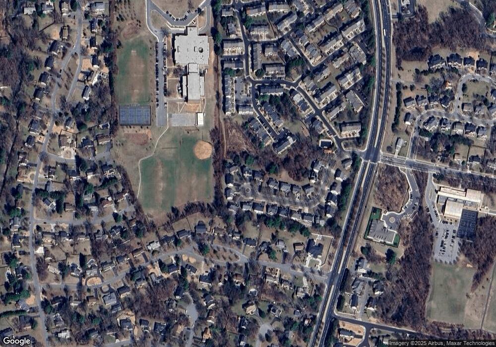
2121 Queensguard Rd Silver Spring, MD 20906
Layhill NeighborhoodEstimated Value: $627,000 - $876,000
Studio
3
Baths
2,396
Sq Ft
$310/Sq Ft
Est. Value
About This Home
This home is located at 2121 Queensguard Rd, Silver Spring, MD 20906 and is currently estimated at $741,964, approximately $309 per square foot. 2121 Queensguard Rd is a home located in Montgomery County with nearby schools including Bel Pre Elementary School, Strathmore Elementary School, and Argyle Middle School.
Ownership History
Date
Name
Owned For
Owner Type
Purchase Details
Closed on
Mar 7, 2024
Sold by
Crone Nathan Earl and Crone Catherine Chang
Bought by
Nathan Earl Crone Revocable Trust and Catherine Chang Crone Revocable Trust
Current Estimated Value
Purchase Details
Closed on
Apr 5, 1994
Sold by
Horton Inc D R
Bought by
Crone Nathan E
Home Financials for this Owner
Home Financials are based on the most recent Mortgage that was taken out on this home.
Original Mortgage
$247,400
Interest Rate
7.07%
Create a Home Valuation Report for This Property
The Home Valuation Report is an in-depth analysis detailing your home's value as well as a comparison with similar homes in the area
Home Values in the Area
Average Home Value in this Area
Purchase History
| Date | Buyer | Sale Price | Title Company |
|---|---|---|---|
| Nathan Earl Crone Revocable Trust | -- | None Listed On Document | |
| Nathan Earl Crone Revocable Trust | -- | None Listed On Document | |
| Crone Nathan E | $274,950 | -- |
Source: Public Records
Mortgage History
| Date | Status | Borrower | Loan Amount |
|---|---|---|---|
| Previous Owner | Crone Nathan E | $247,400 |
Source: Public Records
Tax History Compared to Growth
Tax History
| Year | Tax Paid | Tax Assessment Tax Assessment Total Assessment is a certain percentage of the fair market value that is determined by local assessors to be the total taxable value of land and additions on the property. | Land | Improvement |
|---|---|---|---|---|
| 2025 | $7,336 | $608,700 | $186,800 | $421,900 |
| 2024 | $7,336 | $573,767 | $0 | $0 |
| 2023 | $7,603 | $538,833 | $0 | $0 |
| 2022 | $4,061 | $503,900 | $186,800 | $317,100 |
| 2021 | $5,436 | $502,167 | $0 | $0 |
| 2020 | $5,383 | $500,433 | $0 | $0 |
| 2019 | $4,292 | $498,700 | $186,800 | $311,900 |
| 2018 | $5,269 | $495,300 | $0 | $0 |
| 2017 | $4,339 | $491,900 | $0 | $0 |
| 2016 | -- | $488,500 | $0 | $0 |
| 2015 | $5,335 | $481,867 | $0 | $0 |
| 2014 | $5,335 | $475,233 | $0 | $0 |
Source: Public Records
Map
Nearby Homes
- 14125 Parker Farm Way
- 14209 Parker Farm Way
- 2428 White Horse Ln
- 2498 Sun Valley Cir
- 2346 Sun Valley Cir Unit 2-A
- 2310 Sun Valley Cir Unit 1
- 2420 Sun Valley Cir
- 2407 Sun Valley Cir Unit 4-B
- 2727 Bel Pre Rd
- 14012 Blazer Ln
- 1709 Shilling Ln
- 13817 Blair Stone Ln
- 13940 Alderton Rd
- 14810 Cherry Leaf Terrace
- 44 Long Green Ct
- 2306 Eagle Rock Place
- 9 Coachlamp Ct
- 1949 Autumn Ridge Cir
- 2 Normandy Square Ct Unit D
- 5 Normandy Square Ct Unit 1-B
- 2119 Queensguard Rd
- 2123 Queensguard Rd
- 2125 Queensguard Rd
- 2115 Queensguard Rd
- 2126 Queensguard Rd
- 14114 Red Eagle Ln
- 14110 Red Eagle Ln
- 14116 Red Eagle Ln
- 2122 Queensguard Rd
- 14118 Red Eagle Ln
- 2113 Queensguard Rd
- 14120 Red Eagle Ln
- 14108 Red Eagle Ln
- 2120 Queensguard Rd
- 2124 Queensguard Rd
- 14122 Red Eagle Ln
- 14106 Red Eagle Ln
- 14124 Red Eagle Ln
- 2118 Queensguard Rd
- 14126 Red Eagle Ln
