2121 W State Road 10 Wheatfield, IN 46392
Estimated Value: $522,000 - $695,000
3
Beds
3
Baths
2,556
Sq Ft
$248/Sq Ft
Est. Value
About This Home
This home is located at 2121 W State Road 10, Wheatfield, IN 46392 and is currently estimated at $633,527, approximately $247 per square foot. 2121 W State Road 10 is a home located in Jasper County with nearby schools including Kankakee Valley High School.
Ownership History
Date
Name
Owned For
Owner Type
Purchase Details
Closed on
May 24, 2016
Sold by
Gjms Llc
Bought by
Hamstra Greg and Kley Mitchell H Van
Current Estimated Value
Home Financials for this Owner
Home Financials are based on the most recent Mortgage that was taken out on this home.
Original Mortgage
$456,000
Outstanding Balance
$362,059
Interest Rate
3.58%
Mortgage Type
Commercial
Estimated Equity
$271,468
Purchase Details
Closed on
Aug 10, 2015
Sold by
Hamstra Jodi and Hamstra Jodi L
Bought by
Hamstra Greg and Hamstra Gregory A
Create a Home Valuation Report for This Property
The Home Valuation Report is an in-depth analysis detailing your home's value as well as a comparison with similar homes in the area
Home Values in the Area
Average Home Value in this Area
Purchase History
| Date | Buyer | Sale Price | Title Company |
|---|---|---|---|
| Hamstra Greg | -- | Fidelity National Title Comp | |
| Hamstra Greg | -- | None Available |
Source: Public Records
Mortgage History
| Date | Status | Borrower | Loan Amount |
|---|---|---|---|
| Open | Hamstra Greg | $456,000 |
Source: Public Records
Tax History Compared to Growth
Tax History
| Year | Tax Paid | Tax Assessment Tax Assessment Total Assessment is a certain percentage of the fair market value that is determined by local assessors to be the total taxable value of land and additions on the property. | Land | Improvement |
|---|---|---|---|---|
| 2024 | $3,781 | $663,900 | $52,700 | $611,200 |
| 2023 | $2,828 | $546,400 | $52,700 | $493,700 |
| 2022 | $2,812 | $477,900 | $48,700 | $429,200 |
| 2021 | $2,595 | $423,800 | $43,700 | $380,100 |
| 2020 | $2,750 | $416,400 | $43,700 | $372,700 |
| 2019 | $2,780 | $430,900 | $39,200 | $391,700 |
| 2018 | $2,672 | $422,600 | $39,200 | $383,400 |
| 2017 | $2,497 | $413,500 | $39,200 | $374,300 |
| 2016 | $2,437 | $412,600 | $39,800 | $372,800 |
| 2014 | $1,839 | $363,800 | $39,800 | $324,000 |
| 2013 | $1,759 | $369,400 | $39,800 | $329,600 |
Source: Public Records
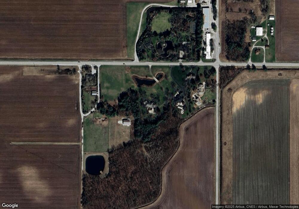
Map
Nearby Homes
- 0 W State Rd 10 Unit NRA825352
- 306 W Central Ave
- 3046 W 1300 N
- 12243 Duttlinger Ln
- 11215 N 80 W
- 3289 W 1100 N
- 11215 Quail Run Dr S
- 3515 Fase Dr
- 0-Lot 53 Pointer Ln
- 25 E Hoehn St
- 21 E Grove St
- 25 E Grove St
- 3618 Fase Dr
- 3582 Quail Run Dr N
- 3029 Nelson Ln
- 203 E Pine St
- 106 E Trett St
- 3889 Hershman Dr
- 227 E Pine St
- 10411 Cynthia Ln
- 2071 W State Road 10
- 2071 Indiana 10
- 2045 W State Road 10
- 11956 N 200 W
- 2199 W State Road 10
- 12028 N 200 W
- 12028 N 200 W
- 12028 N 200 W
- 1914 W State Road 10
- 1914 W State Road 10
- 12248 N 200 W
- 1717 W State Road 10
- 11498 N 200 W
- 2488 W State Road 10
- 2625 W State Road 10
- 2625 Indiana 10
- 2631 Indiana 10
- 2631 W State Road 10
- 11382 N 200 W
- 1554 Indiana 10